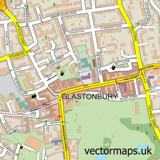
This Coxley street map is a detailed vector street map covering a 750m x 750m area. Select a larger area to create and download your own vector street map of Coxley.
The 750-metre map sample for Coxley covers 162 mapped buildings and approximately 7.2 km of road detail, of which 12 named roads are named. The immediate area includes 1 school, 2 GP surgeries within 2 miles and 6 MOT stations within 2 miles. The wider area around Coxley features 2 campsites within 2 miles. To create a larger or custom map of Coxley, the map builder lets you define your own coverage area and download editable SVG, PDF and PNG files.
Create a larger editable map of Coxley
Choose any area you need and generate a high-quality vector map instantly. Perfect for print, planning, design, business and personal use.

This Coxley street map in Somerset is available as downloadable SVG, PDF and PNG map files, or as a printed map for planning, business, display, education, local information and design work. You can also create a larger custom map area using the map selector.
What this Coxley map sample shows
Coxley lies within St. Cuthbert Out Cp parish, part of Wookey And St Cuthbert Out West ward in the Somerset local authority area. The postcode geography for this area includes the BA postcode area, the BA5 postcode district and the BA5 1 postcode sector. Residents fall under the Nhs Somerset Integrated Care Board for NHS services.
Local features near Coxley
Within 2 milesAmenities and services in and around Coxley.
Administrative and postcode information for Coxley
Coxley lies within St. Cuthbert Out Cp parish, part of Wookey And St Cuthbert Out West ward in the Somerset local authority area. The postcode geography for this area includes the BA postcode area, the BA5 postcode district and the BA5 1 postcode sector. Residents fall under the Nhs Somerset Integrated Care Board for NHS services.
Nearby street map samples around Coxley

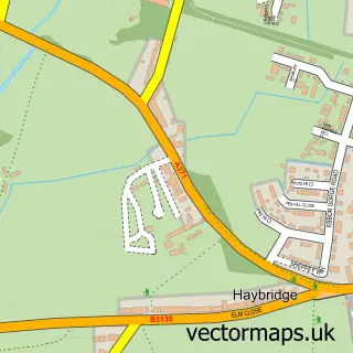
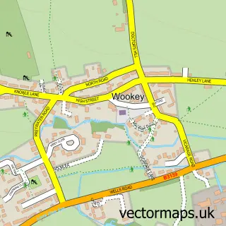
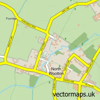
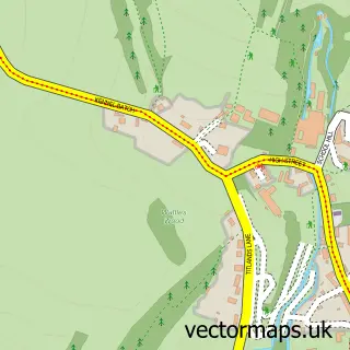
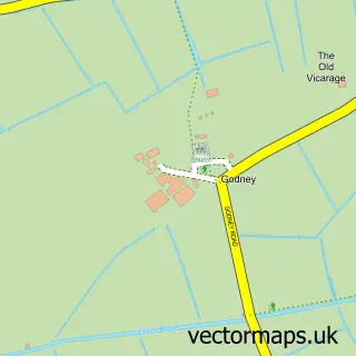
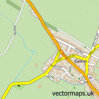
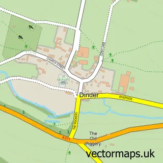
More street maps in Somerset
750 metre map area coverage
Boundary, postcode and point of interest information for the 750m x 750m rectangle centred on this sample map.
Boundaries containing map centre
Constituency: Wells and Mendip Hills Co Const
District: Somerset
Icb: NHS Somerset ICB
Parish: St. Cuthbert Out CP
Police Force: avon and somerset
Postcode District: BA5
Postcode Sector: BA5 1
Nearby boundaries intersecting sample
No additional intersecting boundaries found.
Postcode coverage
POI category counts
Elementary School: 2
Acupuncture: 1
Antique Store: 1
Church Cathedral: 1
Comedy Club: 1
Contractor: 1
Inn: 1
Lodge: 1
Martial Arts Club: 1
Naturopathic Holistic: 1
Sample points of interest
- Inphase Acupuncture
- Wells Reclamation Company
- Christ Church
- Wells Comedy Festival
- Mendip Builders Somerset
- Coxley County Primary School
- Coxley Primary School
- Pound Inn
- Potting Shed Holidays
- Wells Martial Arts Academy
- The Luna Flow
- DJR Services
Create a larger editable map of Coxley
This sample shows only a 750 metre area. To create a larger map of Coxley, use our map builder to choose your own coverage area, add titles and download editable SVG, PDF and PNG files.
Create a custom map of Coxley