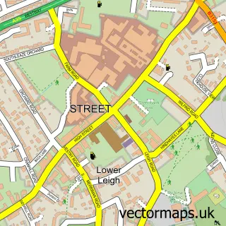
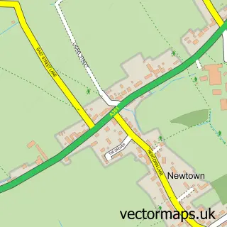
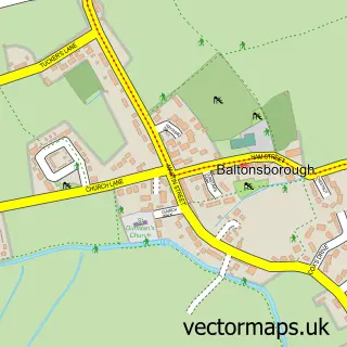
This Glastonbury street map is a detailed vector street map covering a 750m x 750m area. Select a larger area to create and download your own vector street map of Glastonbury.
The 750-metre map sample for Glastonbury covers 401 mapped buildings and approximately 17.3 km of road detail, of which 48 named roads are named. The immediate area includes 2 schools, 2 GP surgeries, with 3 within 2 miles, 7 pubs and 6 MOT stations within 2 miles. The wider area around Glastonbury features 13 tourism points of interest, 28 food and drink venues and 9 hotels. To create a larger or custom map of Glastonbury, the map builder lets you define your own coverage area and download editable SVG, PDF and PNG files.
Create a larger editable map of Glastonbury
Choose any area you need and generate a high-quality vector map instantly. Perfect for print, planning, design, business and personal use.

This Glastonbury street map in Somerset is available as downloadable SVG, PDF and PNG map files, or as a printed map for planning, business, display, education, local information and design work. You can also create a larger custom map area using the map selector.
What this Glastonbury map sample shows
Glastonbury lies within Glastonbury Cp parish, part of Glastonbury St Mary's ward in the Somerset local authority area. The postcode geography for this area includes the BA postcode area, the BA6 postcode district and the BA6 8 postcode sector. Residents fall under the Nhs Somerset Integrated Care Board for NHS services.
Local features near Glastonbury
Within 2 milesAmenities and services in and around Glastonbury.
Administrative and postcode information for Glastonbury
The local authority covering Glastonbury is Somerset, within the county of Somerset. The settlement lies within Glastonbury St Mary's ward and Glastonbury Cp civil parish. The BA6 postcode district and BA6 8 postcode sector serve the immediate area. NHS provision in the area is delivered through Somerset Nhs Foundation Trust.
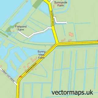
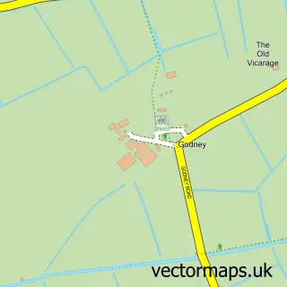
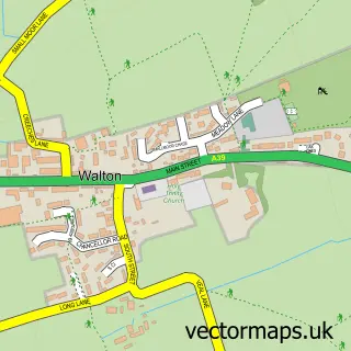
Nearby street map samples around Glastonbury

More street maps in Somerset
750 metre map area coverage
Boundary, postcode and point of interest information for the 750m x 750m rectangle centred on this sample map.
Boundaries containing map centre
Constituency: Glastonbury and Somerton Co Const
District: Somerset
Icb: NHS Somerset ICB
Parish: Glastonbury CP
Police Force: avon and somerset
Postcode District: BA6
Postcode Sector: BA6 9
Nearby boundaries intersecting sample
Postcode Sector: BA6 8
Postcode coverage
POI category counts
Flowers And Gifts Shop: 22
Bed And Breakfast: 19
Naturopathic Holistic: 13
Church Cathedral: 12
Clothing Store: 12
Cafe: 11
Professional Services: 11
Doctor: 10
Art Gallery: 9
Hotel: 9
Sample points of interest
- Miller & Co.
- Avalon Golf
- Audiology-Online Limited
- Bowen Therapist
- Goswell House Clinic
- Green-Aid
- Homeopathy in Glastonbury
- The Glastonbury Herbalist
- RSPCA
- Presence Of The Past, Antique, Vintage & Retro Boutique
- Presence of the Past
- St Margarets Hospice
Create a larger editable map of Glastonbury
This sample shows only a 750 metre area. To create a larger map of Glastonbury, use our map builder to choose your own coverage area, add titles and download editable SVG, PDF and PNG files.
Create a custom map of Glastonbury