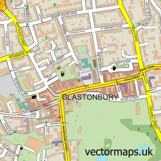
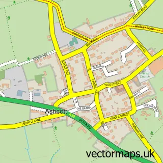
This Street street map is a detailed vector street map covering a 750m x 750m area. Select a larger area to create and download your own vector street map of Street.
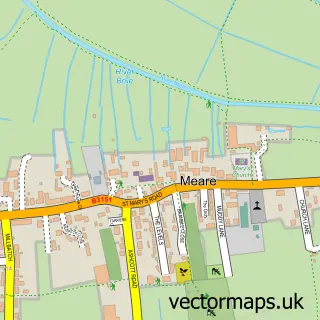
The 750-metre map sample for Street covers 352 mapped buildings and approximately 18.2 km of road detail, of which 32 named roads are named. The immediate area includes 1 school, 1 GP surgery, with 3 within 2 miles, 8 pubs and 8 MOT stations within 2 miles. The wider area around Street features 1 tourism point of interest, 29 food and drink venues and 2 hotels. To create a larger or custom map of Street, the map builder lets you define your own coverage area and download editable SVG, PDF and PNG files.
Create a larger editable map of Street
Choose any area you need and generate a high-quality vector map instantly. Perfect for print, planning, design, business and personal use.

This Street street map in Somerset is available as downloadable SVG, PDF and PNG map files, or as a printed map for planning, business, display, education, local information and design work. You can also create a larger custom map area using the map selector.
What this Street map sample shows
Street lies within Street Cp parish, part of Street South ward in the Somerset local authority area. The postcode geography for this area includes the BA postcode area, the BA16 postcode district and the BA16 0 postcode sector. Residents fall under the Nhs Somerset Integrated Care Board for NHS services.
Local features near Street
Within 2 milesAmenities and services in and around Street.
Administrative and postcode information for Street
Street lies within Street Cp parish, part of Street South ward in the Somerset local authority area. The postcode geography for this area includes the BA postcode area, the BA16 postcode district and the BA16 0 postcode sector. Residents fall under the Nhs Somerset Integrated Care Board for NHS services.
Nearby street map samples around Street

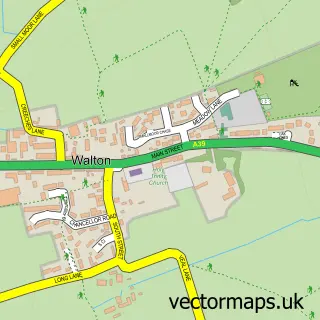
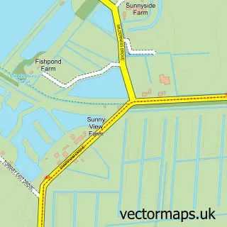
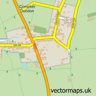
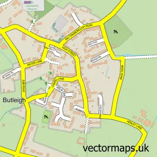
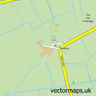
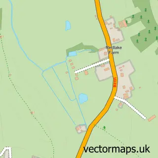
More street maps in Somerset
750 metre map area coverage
Boundary, postcode and point of interest information for the 750m x 750m rectangle centred on this sample map.
Boundaries containing map centre
Constituency: Glastonbury and Somerton Co Const
District: Somerset
Icb: NHS Somerset ICB
Parish: Street CP
Police Force: avon and somerset
Postcode District: BA16
Postcode Sector: BA16 0
Nearby boundaries intersecting sample
Postcode Sector: BA16 9
Postcode coverage
POI category counts
Clothing Store: 61
Beauty Salon: 12
Hair Salon: 10
Shoe Store: 10
Barber: 9
Cafe: 9
Convenience Store: 9
Coffee Shop: 8
Cosmetic And Beauty Supplies: 8
Gift Shop: 8
Sample points of interest
- Mundy and Co
- Mission Church
- RSPCA
- Denby Outlet
- Street Repair Cafe
- Bedeck
- Loveridges Electrical Services
- The Street Gallery
- Cathy Cornish
- Crispin Crafts and Haberdashery
- The Purky Enclave Ltd
- Wot A Picture Ltd
Create a larger editable map of Street
This sample shows only a 750 metre area. To create a larger map of Street, use our map builder to choose your own coverage area, add titles and download editable SVG, PDF and PNG files.
Create a custom map of Street