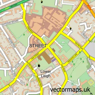
This Ashcott street map is a detailed vector street map covering a 750m x 750m area. Select a larger area to create and download your own vector street map of Ashcott.
The 750-metre map sample for Ashcott covers 276 mapped buildings and approximately 13.3 km of road detail, of which 20 named roads are named. The immediate area includes 2 schools, 2 pubs and 2 MOT stations within 2 miles. The wider area around Ashcott features 1 tourism point of interest, 2 food and drink venues and 1 campsite within 2 miles. To create a larger or custom map of Ashcott, the map builder lets you define your own coverage area and download editable SVG, PDF and PNG files.
Create a larger editable map of Ashcott
Choose any area you need and generate a high-quality vector map instantly. Perfect for print, planning, design, business and personal use.

This Ashcott street map in Somerset is available as downloadable SVG, PDF and PNG map files, or as a printed map for planning, business, display, education, local information and design work. You can also create a larger custom map area using the map selector.
What this Ashcott map sample shows
Ashcott lies within Ashcott Cp parish, part of East Polden ward in the Somerset local authority area. The postcode geography for this area includes the TA postcode area, the TA7 postcode district and the TA7 9 postcode sector. Residents fall under the Nhs Somerset Integrated Care Board for NHS services.
Local features near Ashcott
Within 2 milesAmenities and services in and around Ashcott.
Administrative and postcode information for Ashcott
Ashcott lies within Ashcott Cp parish, part of East Polden ward in the Somerset local authority area. The postcode geography for this area includes the TA postcode area, the TA7 postcode district and the TA7 9 postcode sector. Residents fall under the Nhs Somerset Integrated Care Board for NHS services.
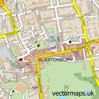
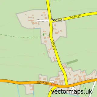
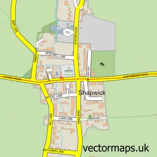
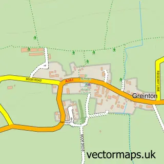
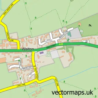
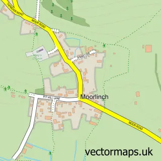
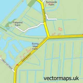
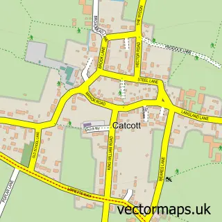
Nearby street map samples around Ashcott

More street maps in Somerset
750 metre map area coverage
Boundary, postcode and point of interest information for the 750m x 750m rectangle centred on this sample map.
Boundaries containing map centre
Constituency: Wells and Mendip Hills Co Const
District: Somerset
Icb: NHS Somerset ICB
Parish: Ashcott CP
Police Force: avon and somerset
Postcode District: TA7
Postcode Sector: TA7 9
Nearby boundaries intersecting sample
No additional intersecting boundaries found.
Postcode coverage
POI category counts
Arts And Entertainment: 2
Pub: 2
Anglican Church: 1
Antique Store: 1
Assisted Living Facility: 1
Bed And Breakfast: 1
Carpenter: 1
Caterer: 1
Contractor: 1
Convenience Store: 1
Sample points of interest
- All Saints' Church
- Maxi-Mix Dispense Systems
- Ashcott Village Hall
- Michael Cooper's Studio
- Ashcott Lawns
- Ambience Restaurant
- Smuntz Wood
- Ashcott Village Hall
- Polden Property Maintenance
- Londis
- Calm Cabin Counselling
- Ashcott Primary School
Create a larger editable map of Ashcott
This sample shows only a 750 metre area. To create a larger map of Ashcott, use our map builder to choose your own coverage area, add titles and download editable SVG, PDF and PNG files.
Create a custom map of Ashcott