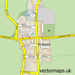
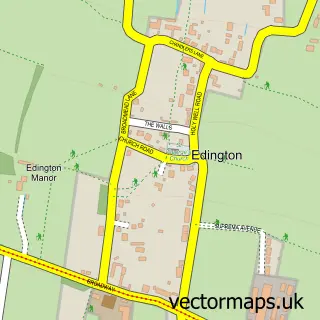
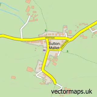
This Pedwell street map is a detailed vector street map covering a 750m x 750m area. Select a larger area to create and download your own vector street map of Pedwell.
The 750-metre map sample for Pedwell covers 69 mapped buildings and approximately 10.4 km of road detail, of which 4 named roads are named. The immediate area includes 2 MOT stations within 2 miles. The wider area around Pedwell features 1 hotel and 1 campsite within 2 miles. To create a larger or custom map of Pedwell, the map builder lets you define your own coverage area and download editable SVG, PDF and PNG files.
Create a larger editable map of Pedwell
Choose any area you need and generate a high-quality vector map instantly. Perfect for print, planning, design, business and personal use.

This Pedwell street map in Somerset is available as downloadable SVG, PDF and PNG map files, or as a printed map for planning, business, display, education, local information and design work. You can also create a larger custom map area using the map selector.
What this Pedwell map sample shows
Pedwell lies within Ashcott Cp parish, part of East Polden ward in the Somerset local authority area. The postcode geography for this area includes the TA postcode area, the TA7 postcode district and the TA7 9 postcode sector. Residents fall under the Nhs Somerset Integrated Care Board for NHS services.
Local features near Pedwell
Within 2 milesAmenities and services in and around Pedwell.
Administrative and postcode information for Pedwell
Pedwell lies within Ashcott Cp parish, part of East Polden ward in the Somerset local authority area. The postcode geography for this area includes the TA postcode area, the TA7 postcode district and the TA7 9 postcode sector. Residents fall under the Nhs Somerset Integrated Care Board for NHS services.
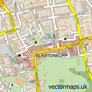
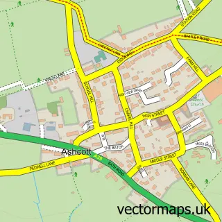
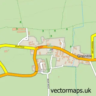
Nearby street map samples around Pedwell

More street maps in Somerset
750 metre map area coverage
Boundary, postcode and point of interest information for the 750m x 750m rectangle centred on this sample map.
Boundaries containing map centre
Constituency: Wells and Mendip Hills Co Const
District: Somerset
Icb: NHS Somerset ICB
Parish: Ashcott CP
Police Force: avon and somerset
Postcode District: TA7
Postcode Sector: TA7 9
Nearby boundaries intersecting sample
No additional intersecting boundaries found.
Postcode coverage
POI category counts
Engineering Services: 2
Arts And Entertainment: 1
Auto Customization: 1
Bed And Breakfast: 1
Car Dealer: 1
Carpenter: 1
Home Decor: 1
Hotel: 1
Personal Care Service: 1
Printing Equipment And Supply: 1
Sample points of interest
- Pedwell
- ZRP Racing parts U.K
- Polden Vale
- Alchemy Animedic
- Making Wood Work
- Recycling Engineers Services
- Recycling Engineers Services Ltd.
- Making Wood Work
- Sunnyside B&B
- Tip-Top Petcare Ltd.
- Sign & Design
Create a larger editable map of Pedwell
This sample shows only a 750 metre area. To create a larger map of Pedwell, use our map builder to choose your own coverage area, add titles and download editable SVG, PDF and PNG files.
Create a custom map of Pedwell