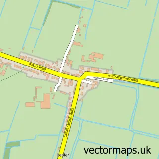
This Edington street map is a detailed vector street map covering a 750m x 750m area. Select a larger area to create and download your own vector street map of Edington.
The 750-metre map sample for Edington covers 141 mapped buildings and approximately 11.4 km of road detail, of which 8 named roads are named. The immediate area includes 1 GP surgery within 2 miles. The wider area around Edington features 1 campsite within 2 miles. To create a larger or custom map of Edington, the map builder lets you define your own coverage area and download editable SVG, PDF and PNG files.
Create a larger editable map of Edington
Choose any area you need and generate a high-quality vector map instantly. Perfect for print, planning, design, business and personal use.

This Edington street map in Somerset is available as downloadable SVG, PDF and PNG map files, or as a printed map for planning, business, display, education, local information and design work. You can also create a larger custom map area using the map selector.
What this Edington map sample shows
Edington lies within Edington Cp parish, part of West Polden ward in the Somerset local authority area. The postcode geography for this area includes the TA postcode area, the TA7 postcode district and the TA7 9 postcode sector. Residents fall under the Nhs Somerset Integrated Care Board for NHS services.
Local features near Edington
Within 2 milesAmenities and services in and around Edington.
Administrative and postcode information for Edington
The local authority covering Edington is Somerset, within the county of Somerset. The settlement lies within West Polden ward and Edington Cp civil parish. The TA7 postcode district and TA7 9 postcode sector serve the immediate area. NHS provision in the area is delivered through Somerset Nhs Foundation Trust.
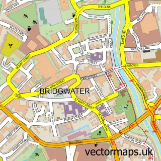
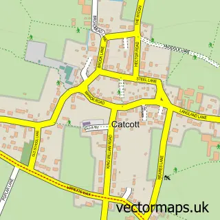
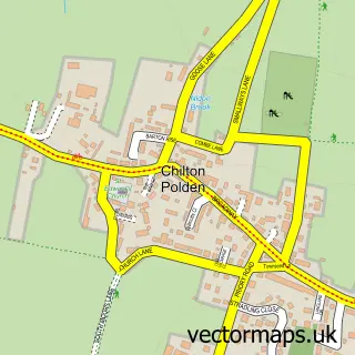
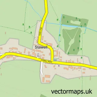
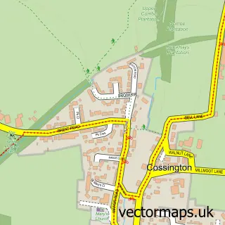
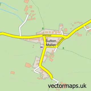
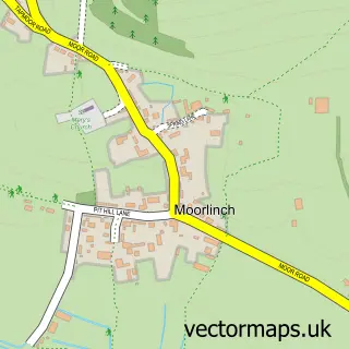
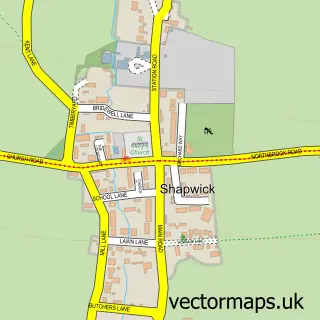
Nearby street map samples around Edington

More street maps in Somerset
750 metre map area coverage
Boundary, postcode and point of interest information for the 750m x 750m rectangle centred on this sample map.
Boundaries containing map centre
Constituency: Wells and Mendip Hills Co Const
District: Somerset
Icb: NHS Somerset ICB
Parish: Edington CP
Police Force: avon and somerset
Postcode District: TA7
Postcode Sector: TA7 9
Nearby boundaries intersecting sample
No additional intersecting boundaries found.
Postcode coverage
POI category counts
Shipping Center: 2
Accommodation: 1
Anglican Church: 1
Automotive Services And Repair: 1
Contractor: 1
Furniture Manufacturers: 1
Furniture Store: 1
Gym: 1
Industrial Company: 1
Industrial Equipment: 1
Sample points of interest
- Edington Manor
- St George
- Russell James Motorcycles
- Meade Builders
- Southwest Digital Systems Ltd.
- Benton Furniture
- Kustom Kit Gym Equipment
- 1-Revolution Forgeworks
- Kustom Strength
- Gwilliams
- Lumley Engineering
- P J & R H S
Create a larger editable map of Edington
This sample shows only a 750 metre area. To create a larger map of Edington, use our map builder to choose your own coverage area, add titles and download editable SVG, PDF and PNG files.
Create a custom map of Edington