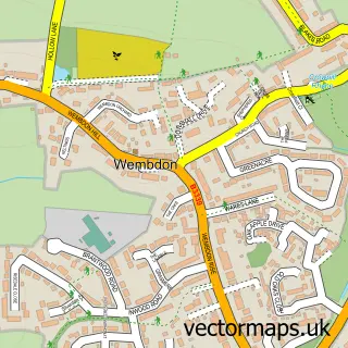
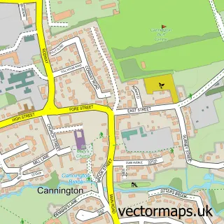
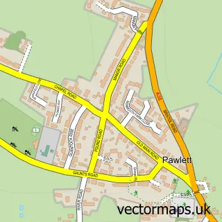
This Bridgwater street map is a detailed vector street map covering a 750m x 750m area. Select a larger area to create and download your own vector street map of Bridgwater.
The 750-metre map sample for Bridgwater covers 215 mapped buildings and approximately 21.8 km of road detail, of which 53 named roads are named. The immediate area includes 1 school, 5 GP surgeries within 2 miles, 17 pubs and 2 MOT stations, with 28 within 2 miles. The wider area around Bridgwater features 8 tourism points of interest, 45 food and drink venues and 6 hotels. To create a larger or custom map of Bridgwater, the map builder lets you define your own coverage area and download editable SVG, PDF and PNG files.
Create a larger editable map of Bridgwater
Choose any area you need and generate a high-quality vector map instantly. Perfect for print, planning, design, business and personal use.

This Bridgwater street map in Somerset is available as downloadable SVG, PDF and PNG map files, or as a printed map for planning, business, display, education, local information and design work. You can also create a larger custom map area using the map selector.
What this Bridgwater map sample shows
Bridgwater lies within Bridgwater Cp parish, part of Bridgwater Westover ward in the Somerset local authority area. The postcode geography for this area includes the TA postcode area, the TA6 postcode district and the TA6 3 postcode sector. Residents fall under the Nhs Somerset Integrated Care Board for NHS services.
Local features near Bridgwater
Within 2 milesAmenities and services in and around Bridgwater.
Administrative and postcode information for Bridgwater
Bridgwater lies within Bridgwater Cp parish, part of Bridgwater Westover ward in the Somerset local authority area. The postcode geography for this area includes the TA postcode area, the TA6 postcode district and the TA6 3 postcode sector. Residents fall under the Nhs Somerset Integrated Care Board for NHS services.
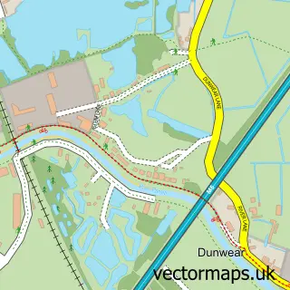
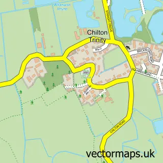
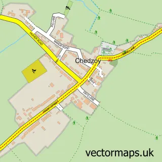
Nearby street map samples around Bridgwater

More street maps in Somerset
750 metre map area coverage
Boundary, postcode and point of interest information for the 750m x 750m rectangle centred on this sample map.
Boundaries containing map centre
Constituency: Bridgwater Co Const
District: Somerset
Icb: NHS Somerset ICB
Parish: Bridgwater CP
Police Force: avon and somerset
Postcode District: TA6
Postcode Sector: TA6 3
Nearby boundaries intersecting sample
Postcode Sector: TA6 4, TA6 5
Postcode coverage
POI category counts
Beauty Salon: 22
Hair Salon: 22
Real Estate Agent: 19
Barber: 17
Cafe: 17
Pub: 17
Professional Services: 13
Automotive Repair: 12
Mobile Phone Store: 11
Tattoo And Piercing: 11
Sample points of interest
- Trinity hall
- Aspen Waite
- Aspen Waite
- Douce And Co.
- Small Business Accountancy Co. Ltd.
- Westcotts Chartered Accountants & Business Advisers
- The Sanctuary - Carp Fishery
- Dr China
- Connexions
- Dawn's
- Goldies Studio
- Martin Gibson Hypnotherapy
Create a larger editable map of Bridgwater
This sample shows only a 750 metre area. To create a larger map of Bridgwater, use our map builder to choose your own coverage area, add titles and download editable SVG, PDF and PNG files.
Create a custom map of Bridgwater