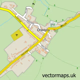
This Puriton street map is a detailed vector street map covering a 750m x 750m area. Select a larger area to create and download your own vector street map of Puriton.
The 750-metre map sample for Puriton covers 376 mapped buildings and approximately 14.6 km of road detail, of which 29 named roads are named. The immediate area includes 1 school and 4 MOT stations within 2 miles. The wider area around Puriton features 2 campsites within 2 miles. To create a larger or custom map of Puriton, the map builder lets you define your own coverage area and download editable SVG, PDF and PNG files.
Create a larger editable map of Puriton
Choose any area you need and generate a high-quality vector map instantly. Perfect for print, planning, design, business and personal use.

This Puriton street map in Somerset is available as downloadable SVG, PDF and PNG map files, or as a printed map for planning, business, display, education, local information and design work. You can also create a larger custom map area using the map selector.
What this Puriton map sample shows
Puriton lies within Puriton Cp parish, part of Puriton And Woolavington ward in the Somerset local authority area. The postcode geography for this area includes the TA postcode area, the TA7 postcode district and the TA7 8 postcode sector. Residents fall under the Nhs Somerset Integrated Care Board for NHS services.
Local features near Puriton
Within 2 milesAmenities and services in and around Puriton.
Administrative and postcode information for Puriton
The local authority covering Puriton is Somerset, within the county of Somerset. The settlement lies within Puriton And Woolavington ward and Puriton Cp civil parish. The TA7 postcode district and TA7 8 postcode sector serve the immediate area. NHS provision in the area is delivered through Somerset Nhs Foundation Trust.
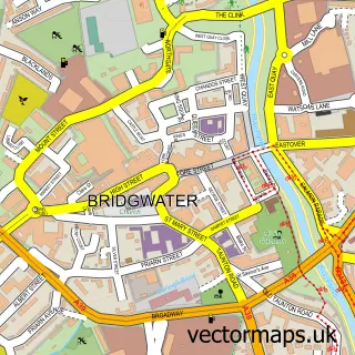
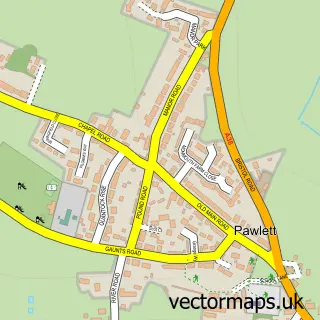
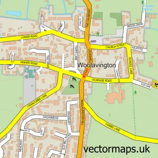
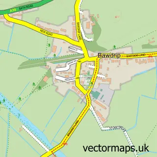
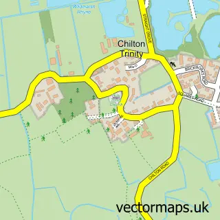
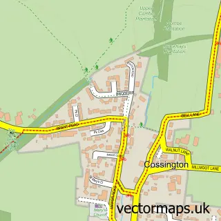
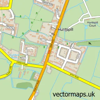
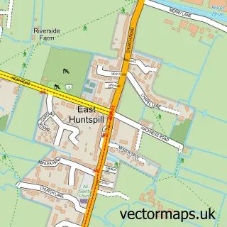
Nearby street map samples around Puriton

More street maps in Somerset
750 metre map area coverage
Boundary, postcode and point of interest information for the 750m x 750m rectangle centred on this sample map.
Boundaries containing map centre
Constituency: Bridgwater Co Const
District: Somerset
Icb: NHS Somerset ICB
Parish: Puriton CP
Police Force: avon and somerset
Postcode District: TA7
Postcode Sector: TA7 8
Nearby boundaries intersecting sample
No additional intersecting boundaries found.
Postcode coverage
POI category counts
Anglican Church: 2
Beauty Salon: 2
Books Mags Music And Video: 1
Building Supply Store: 1
Butcher Shop: 1
Caterer: 1
Community Center: 1
Contractor: 1
Counseling And Mental Health: 1
Day Care Preschool: 1
Sample points of interest
- St Michael & All Angels, Puriton Church
- St Michael and All Angels Church
- Jadenes Beautique
- Kimberley Louise Bridal & Beauty
- Post Office-Puriton
- Wired Up
- Court Farm Butchers
- Topline Catering
- Puriton Village Hall
- Inspired Ceramics
- Mike Jackson Accredited Counsellor MNCPS and Supervisor
- Hunny Bear's Day Nursery
Create a larger editable map of Puriton
This sample shows only a 750 metre area. To create a larger map of Puriton, use our map builder to choose your own coverage area, add titles and download editable SVG, PDF and PNG files.
Create a custom map of Puriton