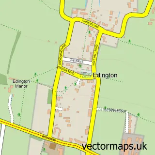
This Woolavington street map is a detailed vector street map covering a 750m x 750m area. Select a larger area to create and download your own vector street map of Woolavington.
The 750-metre map sample for Woolavington covers 416 mapped buildings and approximately 17.5 km of road detail, of which 31 named roads are named. The immediate area includes 1 school. To create a larger or custom map of Woolavington, the map builder lets you define your own coverage area and download editable SVG, PDF and PNG files.
Create a larger editable map of Woolavington
Choose any area you need and generate a high-quality vector map instantly. Perfect for print, planning, design, business and personal use.

This Woolavington street map in Somerset is available as downloadable SVG, PDF and PNG map files, or as a printed map for planning, business, display, education, local information and design work. You can also create a larger custom map area using the map selector.
What this Woolavington map sample shows
Woolavington lies within Woolavington Cp parish, part of Puriton And Woolavington ward in the Somerset local authority area. The postcode geography for this area includes the TA postcode area, the TA7 postcode district and the TA7 8 postcode sector. Residents fall under the Nhs Somerset Integrated Care Board for NHS services.
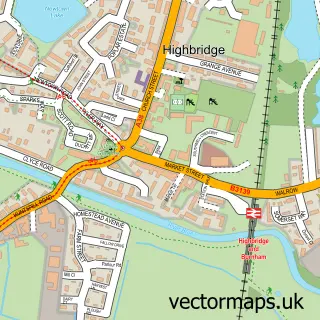
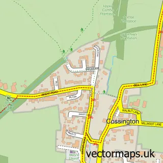
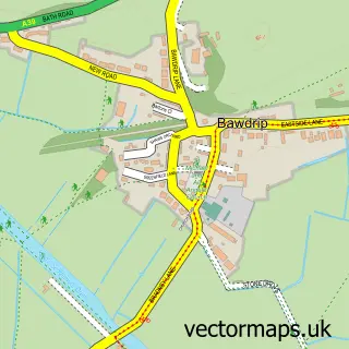
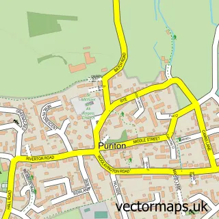
Local features near Woolavington
Within 2 milesAmenities and services in and around Woolavington.
Administrative and postcode information for Woolavington
Woolavington lies within Woolavington Cp parish, part of Puriton And Woolavington ward in the Somerset local authority area. The postcode geography for this area includes the TA postcode area, the TA7 postcode district and the TA7 8 postcode sector. Residents fall under the Nhs Somerset Integrated Care Board for NHS services.
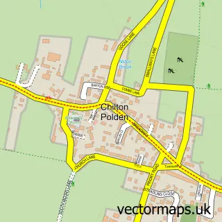
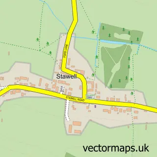
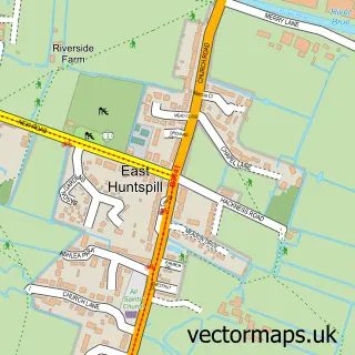
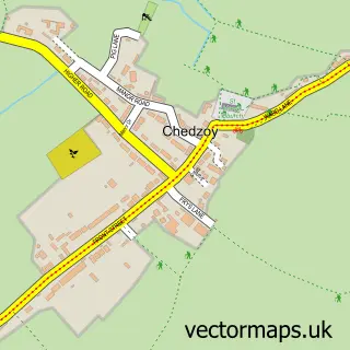
Nearby street map samples around Woolavington

More street maps in Somerset
750 metre map area coverage
Boundary, postcode and point of interest information for the 750m x 750m rectangle centred on this sample map.
Boundaries containing map centre
Constituency: Bridgwater Co Const
District: Somerset
Icb: NHS Somerset ICB
Parish: Woolavington CP
Police Force: avon and somerset
Postcode District: TA7
Postcode Sector: TA7 8
Nearby boundaries intersecting sample
No additional intersecting boundaries found.
Postcode coverage
POI category counts
Beauty Salon: 2
Bed And Breakfast: 2
Childrens Clothing Store: 2
Driving School: 2
Retail: 2
Anglican Church: 1
Automotive Repair: 1
Automotive Services And Repair: 1
Bookkeeper: 1
Carpenter: 1
Sample points of interest
- St Marys Church, Woolavington
- SRC Maintenence Services
- Hanby IT Solutions
- Blush Hair & Beauty
- Everglow Aesthetics
- Pool House Woolavington
- The School House
- KGC Bookkeeping
- Redwood Joinery Ltd
- Classy Kids
- Unique Baby Gifts
- Church of St Mary, Woolavington
Create a larger editable map of Woolavington
This sample shows only a 750 metre area. To create a larger map of Woolavington, use our map builder to choose your own coverage area, add titles and download editable SVG, PDF and PNG files.
Create a custom map of Woolavington