This Bawdrip street map is a detailed vector street map covering a 750m x 750m area. Select a larger area to create and download your own vector street map of Bawdrip.
The 750-metre map sample for Bawdrip covers 138 mapped buildings and approximately 10.0 km of road detail, of which 11 named roads are named. The immediate area includes 1 school and 2 MOT stations within 2 miles. To create a larger or custom map of Bawdrip, the map builder lets you define your own coverage area and download editable SVG, PDF and PNG files.
Create a larger editable map of Bawdrip
Choose any area you need and generate a high-quality vector map instantly. Perfect for print, planning, design, business and personal use.

This Bawdrip street map in Somerset is available as downloadable SVG, PDF and PNG map files, or as a printed map for planning, business, display, education, local information and design work. You can also create a larger custom map area using the map selector.
What this Bawdrip map sample shows
Bawdrip lies within Bawdrip Cp parish, part of King's Isle ward in the Somerset local authority area. The postcode geography for this area includes the TA postcode area, the TA7 postcode district and the TA7 8 postcode sector. Residents fall under the Nhs Somerset Integrated Care Board for NHS services.
Local features near Bawdrip
Within 2 milesAmenities and services in and around Bawdrip.
Administrative and postcode information for Bawdrip
The local authority covering Bawdrip is Somerset, within the county of Somerset. The settlement lies within King's Isle ward and Bawdrip Cp civil parish. The TA7 postcode district and TA7 8 postcode sector serve the immediate area. NHS provision in the area is delivered through Somerset Nhs Foundation Trust.
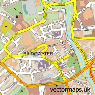
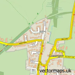
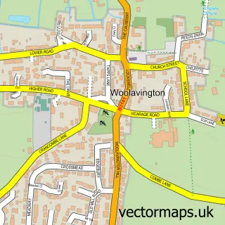
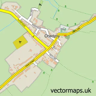
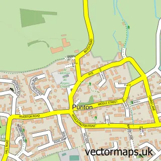
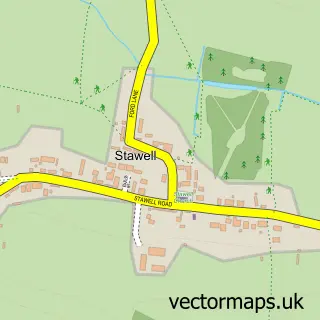
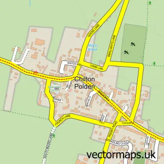
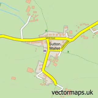
Nearby street map samples around Bawdrip

More street maps in Somerset
750 metre map area coverage
Boundary, postcode and point of interest information for the 750m x 750m rectangle centred on this sample map.
Boundaries containing map centre
Constituency: Bridgwater Co Const
District: Somerset
Icb: NHS Somerset ICB
Parish: Bawdrip CP
Police Force: avon and somerset
Postcode District: TA7
Postcode Sector: TA7 8
Nearby boundaries intersecting sample
No additional intersecting boundaries found.
Postcode coverage
POI category counts
Church Cathedral: 2
Anglican Church: 1
Arts And Entertainment: 1
Caterer: 1
Community Center: 1
Contractor: 1
Corporate Entertainment Services: 1
Counseling And Mental Health: 1
Electrician: 1
Elementary School: 1
Sample points of interest
- St Michael & All Angels, Bawdrip
- Party Puppets
- Bawdrip Parish Hall
- Bawdrip, St Michaels Church
- St Michael and All Angels Church
- Chedzoy Village Hall
- PMC Builders
- Party Puppets
- Holate
- Robson Electrics
- Kingsmoor Primary School
- Storm Gas
Create a larger editable map of Bawdrip
This sample shows only a 750 metre area. To create a larger map of Bawdrip, use our map builder to choose your own coverage area, add titles and download editable SVG, PDF and PNG files.
Create a custom map of Bawdrip