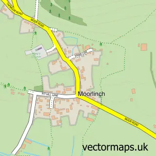
This Chilton Polden street map is a detailed vector street map covering a 750m x 750m area. Select a larger area to create and download your own vector street map of Chilton Polden.
The 750-metre map sample for Chilton Polden covers 239 mapped buildings and approximately 8.9 km of road detail, of which 16 named roads are named. The immediate area includes 1 GP surgery within 2 miles. The wider area around Chilton Polden features 2 food and drink venues and 1 campsite within 2 miles. To create a larger or custom map of Chilton Polden, the map builder lets you define your own coverage area and download editable SVG, PDF and PNG files.
Create a larger editable map of Chilton Polden
Choose any area you need and generate a high-quality vector map instantly. Perfect for print, planning, design, business and personal use.

This Chilton Polden street map in Somerset is available as downloadable SVG, PDF and PNG map files, or as a printed map for planning, business, display, education, local information and design work. You can also create a larger custom map area using the map selector.
What this Chilton Polden map sample shows
Chilton Polden lies within Chilton Polden Cp parish, part of West Polden ward in the Somerset local authority area. The postcode geography for this area includes the TA postcode area, the TA7 postcode district and the TA7 9 postcode sector. Residents fall under the Nhs Somerset Integrated Care Board for NHS services.
Local features near Chilton Polden
Within 2 milesAmenities and services in and around Chilton Polden.
Administrative and postcode information for Chilton Polden
The local authority covering Chilton Polden is Somerset, within the county of Somerset. The settlement lies within West Polden ward and Chilton Polden Cp civil parish. The TA7 postcode district and TA7 9 postcode sector serve the immediate area. NHS provision in the area is delivered through Somerset Nhs Foundation Trust.
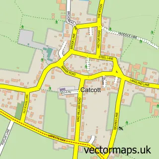
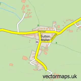
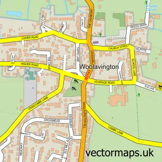
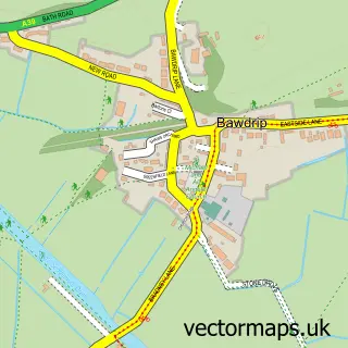
Nearby street map samples around Chilton Polden
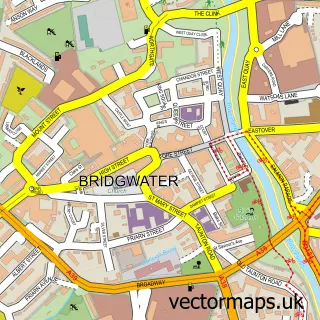

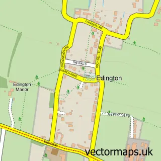
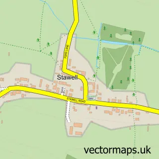
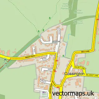
More street maps in Somerset
750 metre map area coverage
Boundary, postcode and point of interest information for the 750m x 750m rectangle centred on this sample map.
Boundaries containing map centre
Constituency: Wells and Mendip Hills Co Const
District: Somerset
Icb: NHS Somerset ICB
Parish: Chilton Polden CP
Police Force: avon and somerset
Postcode District: TA7
Postcode Sector: TA7 9
Nearby boundaries intersecting sample
No additional intersecting boundaries found.
Postcode coverage
POI category counts
Beauty Salon: 2
Building Supply Store: 2
Farm: 2
Gym: 2
Martial Arts Club: 2
Advertising Agency: 1
Anglican Church: 1
Cafe: 1
Coffee Shop: 1
Contractor: 1
Sample points of interest
- Ecotronic
- St Edwards Chilton Polden
- Semi Permanent Makeup & Cosmetics Enhancement
- The Parlour
- Engineering Energy
- M.Richardson Carpentry and Groundwork's
- FikaSomerset
- J's Bistro
- Avalon Windows
- Wyvern's Nest Childcare
- Somerset Alpaca Trekking and Rare Breed Animals
- West House Farm
Create a larger editable map of Chilton Polden
This sample shows only a 750 metre area. To create a larger map of Chilton Polden, use our map builder to choose your own coverage area, add titles and download editable SVG, PDF and PNG files.
Create a custom map of Chilton Polden