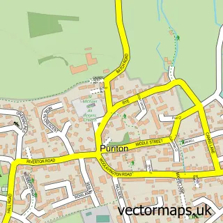
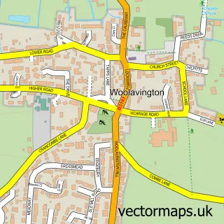
This Highbridge street map is a detailed vector street map covering a 750m x 750m area. Select a larger area to create and download your own vector street map of Highbridge.
The 750-metre map sample for Highbridge covers 343 mapped buildings and approximately 11.8 km of road detail, of which 27 named roads are named. The immediate area includes 1 railway station, 1 GP surgery within 2 miles, 3 pubs and 1 MOT station, with 6 within 2 miles. The wider area around Highbridge features 1 tourism point of interest, 9 food and drink venues and 2 hotels. To create a larger or custom map of Highbridge, the map builder lets you define your own coverage area and download editable SVG, PDF and PNG files.
Create a larger editable map of Highbridge
Choose any area you need and generate a high-quality vector map instantly. Perfect for print, planning, design, business and personal use.

This Highbridge street map in Somerset is available as downloadable SVG, PDF and PNG map files, or as a printed map for planning, business, display, education, local information and design work. You can also create a larger custom map area using the map selector.
What this Highbridge map sample shows
Highbridge lies within Burnham-On-Sea And Highbridge Cp parish, part of Highbridge And Burnham Marine ward in the Somerset local authority area. The postcode geography for this area includes the TA postcode area, the TA9 postcode district and the TA9 3 postcode sector. Residents fall under the Nhs Somerset Integrated Care Board for NHS services.
Local features near Highbridge
Within 2 milesAmenities and services in and around Highbridge.
Administrative and postcode information for Highbridge
Highbridge lies within Burnham-On-Sea And Highbridge Cp parish, part of Highbridge And Burnham Marine ward in the Somerset local authority area. The postcode geography for this area includes the TA postcode area, the TA9 postcode district and the TA9 3 postcode sector. Residents fall under the Nhs Somerset Integrated Care Board for NHS services.
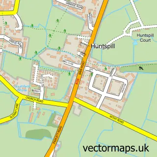
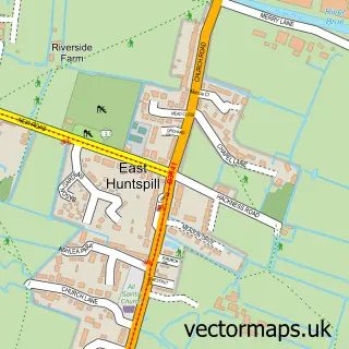
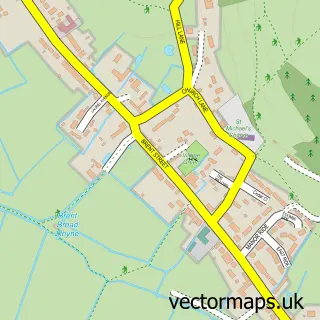
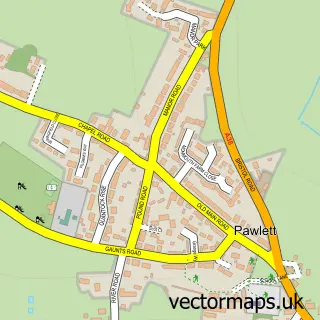
Nearby street map samples around Highbridge

More street maps in Somerset
750 metre map area coverage
Boundary, postcode and point of interest information for the 750m x 750m rectangle centred on this sample map.
Boundaries containing map centre
Constituency: Bridgwater Co Const
District: Somerset
Icb: NHS Somerset ICB
Parish: Burnham-on-Sea and Highbridge CP
Police Force: avon and somerset
Postcode District: TA9
Postcode Sector: TA9 3
Nearby boundaries intersecting sample
Constituency: Wells and Mendip Hills Co Const
Parish: East Huntspill CP, West Huntspill CP
Postcode Sector: TA9 4
Postcode coverage
POI category counts
Automotive Repair: 6
Beauty Salon: 5
Gas Station: 5
Barber: 4
Cafe: 4
Building Supply Store: 3
Hair Salon: 3
Martial Arts Club: 3
Pub: 3
Arts And Crafts: 2
Sample points of interest
- Dragon Tots Karate
- Bowbridge Farm Livestock
- Hobby Dayz
- Kerrys card kreations
- GC Sound and Light
- G C Sound & Light
- Synergi Auto Body Repairs
- Prestige Automotives
- Highbridge Motortech
- Sky Specialist Cars LTD
- A and e autocare limited
- AutoMend Bridgwater
Create a larger editable map of Highbridge
This sample shows only a 750 metre area. To create a larger map of Highbridge, use our map builder to choose your own coverage area, add titles and download editable SVG, PDF and PNG files.
Create a custom map of Highbridge