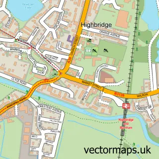
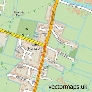
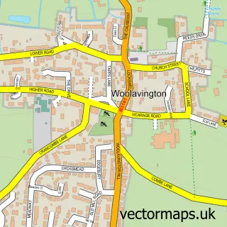
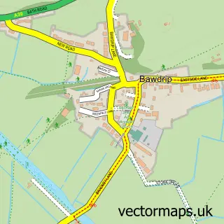
This Huntspill street map is a detailed vector street map covering a 750m x 750m area. Select a larger area to create and download your own vector street map of Huntspill.
The 750-metre map sample for Huntspill covers 238 mapped buildings and approximately 10.9 km of road detail, of which 16 named roads are named. The immediate area includes 1 pub and 3 MOT stations within 2 miles. The wider area around Huntspill features 1 food and drink venue and 5 campsites within 2 miles. To create a larger or custom map of Huntspill, the map builder lets you define your own coverage area and download editable SVG, PDF and PNG files.
Create a larger editable map of Huntspill
Choose any area you need and generate a high-quality vector map instantly. Perfect for print, planning, design, business and personal use.

This Huntspill street map in Somerset is available as downloadable SVG, PDF and PNG map files, or as a printed map for planning, business, display, education, local information and design work. You can also create a larger custom map area using the map selector.
What this Huntspill map sample shows
Huntspill lies within West Huntspill Cp parish, part of Huntspill And Pawlett ward in the Somerset local authority area. The postcode geography for this area includes the TA postcode area, the TA9 postcode district and the TA9 3 postcode sector. Residents fall under the Nhs Somerset Integrated Care Board for NHS services.
Local features near Huntspill
Within 2 milesAmenities and services in and around Huntspill.
Administrative and postcode information for Huntspill
The local authority covering Huntspill is Somerset, within the county of Somerset. The settlement lies within Huntspill And Pawlett ward and West Huntspill Cp civil parish. The TA9 postcode district and TA9 3 postcode sector serve the immediate area. NHS provision in the area is delivered through Somerset Nhs Foundation Trust.
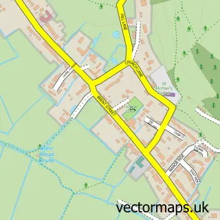
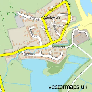
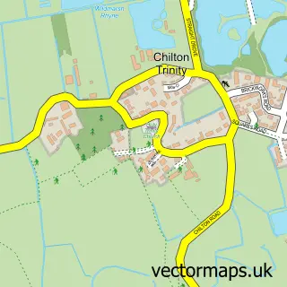
Nearby street map samples around Huntspill

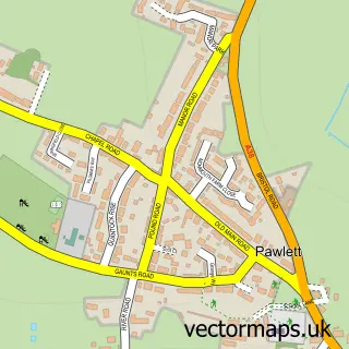
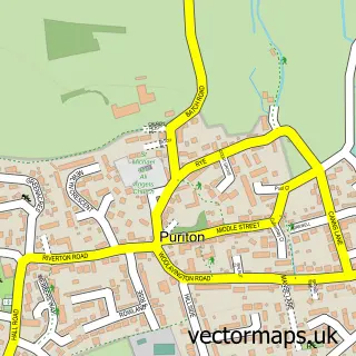
More street maps in Somerset
750 metre map area coverage
Boundary, postcode and point of interest information for the 750m x 750m rectangle centred on this sample map.
Boundaries containing map centre
Constituency: Bridgwater Co Const
District: Somerset
Icb: NHS Somerset ICB
Parish: West Huntspill CP
Police Force: avon and somerset
Postcode District: TA9
Postcode Sector: TA9 3
Nearby boundaries intersecting sample
No additional intersecting boundaries found.
Postcode coverage
POI category counts
Commercial Real Estate: 2
Fire Protection Service: 2
Automotive Repair: 1
Bed And Breakfast: 1
Brake Service And Repair: 1
Building Supply Store: 1
Car Wash: 1
Caterer: 1
Computer Store: 1
Flooring Contractors: 1
Sample points of interest
- Grace Auto Service
- Crossways Inn
- JVK motors
- Kdr Electrical Services
- Highline Car Wash
- Jemima's Quality Cakes & Catering
- Aardvark Occupational Health
- Forge Enterprise Centre
- Ricks Computer Repairs
- Ball Fire Protection
- C2HR
- Swift Industrial Flooring
Create a larger editable map of Huntspill
This sample shows only a 750 metre area. To create a larger map of Huntspill, use our map builder to choose your own coverage area, add titles and download editable SVG, PDF and PNG files.
Create a custom map of Huntspill