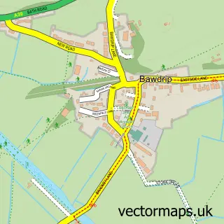
This Pawlett street map is a detailed vector street map covering a 750m x 750m area. Select a larger area to create and download your own vector street map of Pawlett.
The 750-metre map sample for Pawlett covers 274 mapped buildings and approximately 13.2 km of road detail, of which 17 named roads are named. The immediate area includes 1 school and 1 MOT station, with 2 within 2 miles. The wider area around Pawlett features 1 tourism point of interest. To create a larger or custom map of Pawlett, the map builder lets you define your own coverage area and download editable SVG, PDF and PNG files.
Create a larger editable map of Pawlett
Choose any area you need and generate a high-quality vector map instantly. Perfect for print, planning, design, business and personal use.

This Pawlett street map in Somerset is available as downloadable SVG, PDF and PNG map files, or as a printed map for planning, business, display, education, local information and design work. You can also create a larger custom map area using the map selector.
What this Pawlett map sample shows
Pawlett lies within Pawlett Cp parish, part of Huntspill And Pawlett ward in the Somerset local authority area. The postcode geography for this area includes the TA postcode area, the TA6 postcode district and the TA6 4 postcode sector. Residents fall under the Nhs Somerset Integrated Care Board for NHS services.
Local features near Pawlett
Within 2 milesAmenities and services in and around Pawlett.
Administrative and postcode information for Pawlett
Pawlett lies within Pawlett Cp parish, part of Huntspill And Pawlett ward in the Somerset local authority area. The postcode geography for this area includes the TA postcode area, the TA6 postcode district and the TA6 4 postcode sector. Residents fall under the Nhs Somerset Integrated Care Board for NHS services.
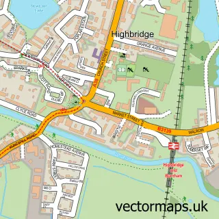
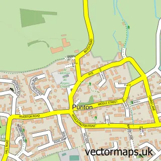
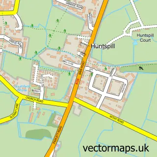
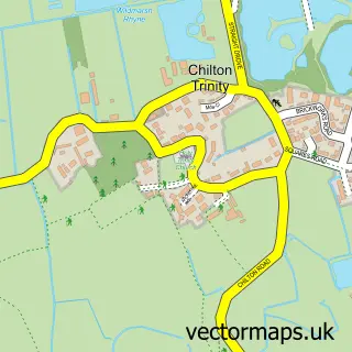
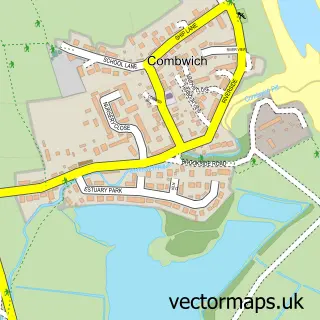
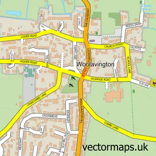
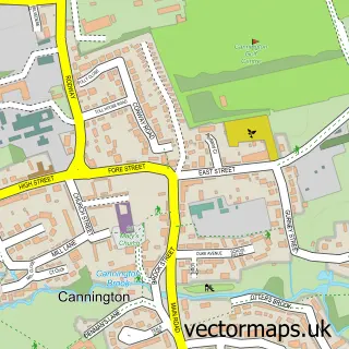
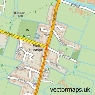
Nearby street map samples around Pawlett

More street maps in Somerset
750 metre map area coverage
Boundary, postcode and point of interest information for the 750m x 750m rectangle centred on this sample map.
Boundaries containing map centre
Constituency: Bridgwater Co Const
District: Somerset
Icb: NHS Somerset ICB
Parish: Pawlett CP
Police Force: avon and somerset
Postcode District: TA6
Postcode Sector: TA6 4
Nearby boundaries intersecting sample
No additional intersecting boundaries found.
Postcode coverage
POI category counts
Elementary School: 2
Gas Station: 2
Music School: 2
Acupuncture: 1
Anglican Church: 1
Beauty Product Supplier: 1
Building Supply Store: 1
Car Dealer: 1
Caterer: 1
Church Cathedral: 1
Sample points of interest
- Well-life
- St John The Baptist, Pawlett
- E-Clips Hair & Beauty
- Stretcholt Builders
- The Elms Car Sales Ltd
- Pawlett Village Hall
- Pawlett St John the Baptist Church
- Pawlett Primary School Academy
- Pawlett Primary School Academy
- Pawlett Service Station
- Warwick Filling Station
- Scalp Ink South West
Create a larger editable map of Pawlett
This sample shows only a 750 metre area. To create a larger map of Pawlett, use our map builder to choose your own coverage area, add titles and download editable SVG, PDF and PNG files.
Create a custom map of Pawlett