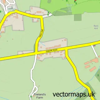
This Cannington street map is a detailed vector street map covering a 750m x 750m area. Select a larger area to create and download your own vector street map of Cannington.
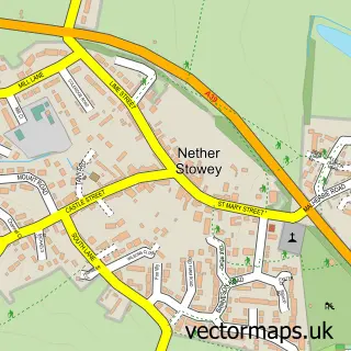
The 750-metre map sample for Cannington covers 367 mapped buildings and approximately 12.8 km of road detail, of which 29 named roads are named. The immediate area includes 1 school, 1 GP surgery and 4 pubs. The wider area around Cannington features 2 tourism points of interest and 6 food and drink venues. To create a larger or custom map of Cannington, the map builder lets you define your own coverage area and download editable SVG, PDF and PNG files.
Create a larger editable map of Cannington
Choose any area you need and generate a high-quality vector map instantly. Perfect for print, planning, design, business and personal use.

This Cannington street map in Somerset is available as downloadable SVG, PDF and PNG map files, or as a printed map for planning, business, display, education, local information and design work. You can also create a larger custom map area using the map selector.
What this Cannington map sample shows
Cannington lies within Cannington Cp parish, part of Cannington And Wembdon ward in the Somerset local authority area. The postcode geography for this area includes the TA postcode area, the TA5 postcode district and the TA5 2 postcode sector. Residents fall under the Nhs Somerset Integrated Care Board for NHS services.
Local features near Cannington
Within 2 milesAmenities and services in and around Cannington.
Administrative and postcode information for Cannington
Cannington lies within Cannington Cp parish, part of Cannington And Wembdon ward in the Somerset local authority area. The postcode geography for this area includes the TA postcode area, the TA5 postcode district and the TA5 2 postcode sector. Residents fall under the Nhs Somerset Integrated Care Board for NHS services.
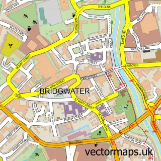
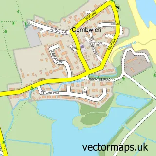
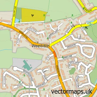
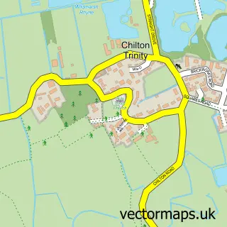
Nearby street map samples around Cannington

More street maps in Somerset
750 metre map area coverage
Boundary, postcode and point of interest information for the 750m x 750m rectangle centred on this sample map.
Boundaries containing map centre
Constituency: Bridgwater Co Const
District: Somerset
Icb: NHS Somerset ICB
Parish: Cannington CP
Police Force: avon and somerset
Postcode District: TA5
Postcode Sector: TA5 2
Nearby boundaries intersecting sample
No additional intersecting boundaries found.
Postcode coverage
POI category counts
Bakery: 4
Pub: 4
Church Cathedral: 3
Beauty Salon: 2
Bed And Breakfast: 2
Building Supply Store: 2
Campus Building: 2
College University: 2
Shipping Center: 2
Advertising Agency: 1
Sample points of interest
- AGY Innovative Marketing
- St Mary's Church, Cannington
- The Saffron, Cannington
- Honey's Scrummies
- Rose Cottage Cakes
- The Cake Cabin
- Village Bakery
- Memsaab
- Advanced Aesthetics Face, Body & Beauty
- Browns Hair & Beauty
- The Beauty Consultancy
- Cannington House
Create a larger editable map of Cannington
This sample shows only a 750 metre area. To create a larger map of Cannington, use our map builder to choose your own coverage area, add titles and download editable SVG, PDF and PNG files.
Create a custom map of Cannington