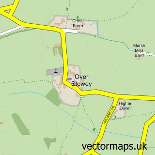
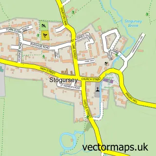
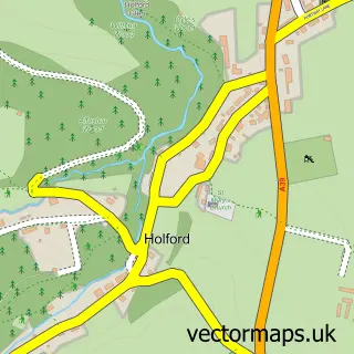
This Nether Stowey street map is a detailed vector street map covering a 750m x 750m area. Select a larger area to create and download your own vector street map of Nether Stowey.
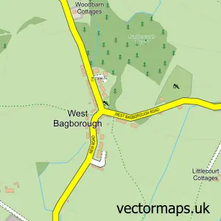
The 750-metre map sample for Nether Stowey covers 333 mapped buildings and approximately 13.6 km of road detail, of which 26 named roads are named. The immediate area includes 1 school, 1 GP surgery, 1 pub and 2 MOT stations within 2 miles. The wider area around Nether Stowey features 2 tourism points of interest, 1 food and drink venue and 1 hotel. To create a larger or custom map of Nether Stowey, the map builder lets you define your own coverage area and download editable SVG, PDF and PNG files.
Create a larger editable map of Nether Stowey
Choose any area you need and generate a high-quality vector map instantly. Perfect for print, planning, design, business and personal use.

This Nether Stowey street map in Somerset is available as downloadable SVG, PDF and PNG map files, or as a printed map for planning, business, display, education, local information and design work. You can also create a larger custom map area using the map selector.
What this Nether Stowey map sample shows
Nether Stowey lies within Nether Stowey Cp parish, part of Quantocks ward in the Somerset local authority area. The postcode geography for this area includes the TA postcode area, the TA5 postcode district and the TA5 1 postcode sector. Residents fall under the Nhs Somerset Integrated Care Board for NHS services.
Local features near Nether Stowey
Within 2 milesAmenities and services in and around Nether Stowey.
Administrative and postcode information for Nether Stowey
Nether Stowey lies within Nether Stowey Cp parish, part of Quantocks ward in the Somerset local authority area. The postcode geography for this area includes the TA postcode area, the TA5 postcode district and the TA5 1 postcode sector. Residents fall under the Nhs Somerset Integrated Care Board for NHS services.
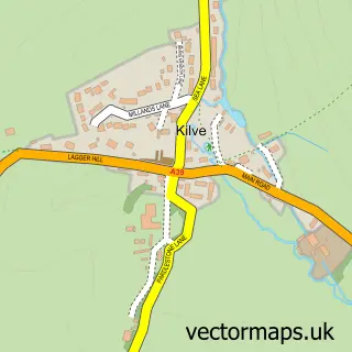
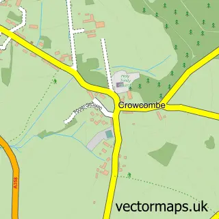
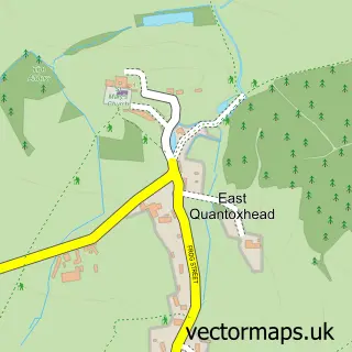
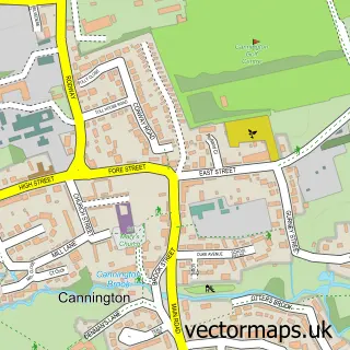
Nearby street map samples around Nether Stowey

More street maps in Somerset
750 metre map area coverage
Boundary, postcode and point of interest information for the 750m x 750m rectangle centred on this sample map.
Boundaries containing map centre
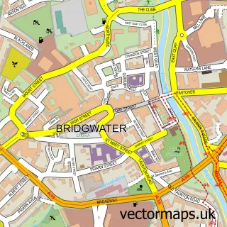
Constituency: Bridgwater Co Const
District: Somerset
Icb: NHS Somerset ICB
Parish: Nether Stowey CP
Police Force: avon and somerset
Postcode District: TA5
Postcode Sector: TA5 1
Nearby boundaries intersecting sample
No additional intersecting boundaries found.
Postcode coverage
POI category counts
Beauty And Spa: 2
Church Cathedral: 2
Convenience Store: 2
Hair Salon: 2
Holiday Rental Home: 2
Shipping Center: 2
Advertising Agency: 1
Attractions And Activities: 1
Automotive Repair: 1
Bed And Breakfast: 1
Sample points of interest
- Artwork Marketing
- Coleridge Cottage
- Gullifords Garage
- Beauty by Felicity
- NM Beauty
- The Old House
- Books for Life
- Purepools
- Faun & Co
- Nether Stowey Village Hall and Recreation Ground
- Church of St Peter and St Paul, Over Stowey
- Messy Church - Nether Stowey
Create a larger editable map of Nether Stowey
This sample shows only a 750 metre area. To create a larger map of Nether Stowey, use our map builder to choose your own coverage area, add titles and download editable SVG, PDF and PNG files.
Create a custom map of Nether Stowey