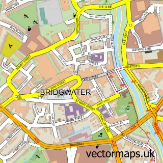
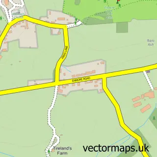
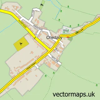
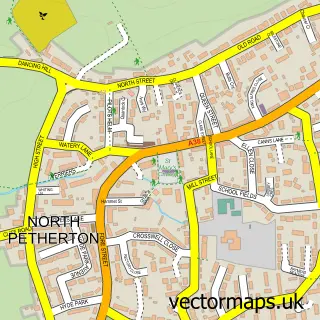
This Wembdon street map is a detailed vector street map covering a 750m x 750m area. Select a larger area to create and download your own vector street map of Wembdon.
The 750-metre map sample for Wembdon covers 415 mapped buildings and approximately 13.9 km of road detail, of which 30 named roads are named. The immediate area includes 1 school, 5 GP surgeries within 2 miles, 1 pub and 24 MOT stations within 2 miles. The wider area around Wembdon features 2 tourism points of interest and 1 food and drink venue. To create a larger or custom map of Wembdon, the map builder lets you define your own coverage area and download editable SVG, PDF and PNG files.
Create a larger editable map of Wembdon
Choose any area you need and generate a high-quality vector map instantly. Perfect for print, planning, design, business and personal use.

This Wembdon street map in Somerset is available as downloadable SVG, PDF and PNG map files, or as a printed map for planning, business, display, education, local information and design work. You can also create a larger custom map area using the map selector.
What this Wembdon map sample shows
Wembdon lies within Wembdon Cp parish, part of Cannington And Wembdon ward in the Somerset local authority area. The postcode geography for this area includes the TA postcode area, the TA6 postcode district and the TA6 7 postcode sector. Residents fall under the Nhs Somerset Integrated Care Board for NHS services.
Local features near Wembdon
Within 2 milesAmenities and services in and around Wembdon.
Administrative and postcode information for Wembdon
Wembdon lies within Wembdon Cp parish, part of Cannington And Wembdon ward in the Somerset local authority area. The postcode geography for this area includes the TA postcode area, the TA6 postcode district and the TA6 7 postcode sector. Residents fall under the Nhs Somerset Integrated Care Board for NHS services.
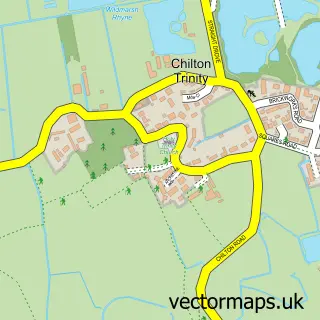
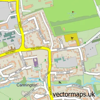
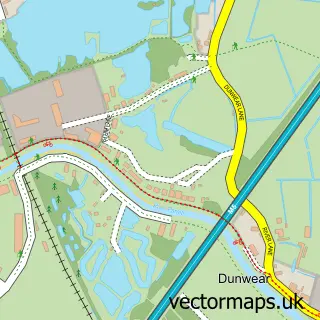
Nearby street map samples around Wembdon

More street maps in Somerset
750 metre map area coverage
Boundary, postcode and point of interest information for the 750m x 750m rectangle centred on this sample map.
Boundaries containing map centre
Constituency: Bridgwater Co Const
District: Somerset
Icb: NHS Somerset ICB
Parish: Wembdon CP
Police Force: avon and somerset
Postcode District: TA6
Postcode Sector: TA6 7
Nearby boundaries intersecting sample
Postcode District: TA5
Postcode Sector: TA5 2, TA6 3
Postcode coverage
POI category counts
Convenience Store: 2
Home Cleaning: 2
Retirement Home: 2
Shipping Center: 2
Accommodation: 1
Arts And Crafts: 1
Assisted Living Facility: 1
Attractions And Activities: 1
Beauty Salon: 1
Bed And Breakfast: 1
Sample points of interest
- Wembdon Hill
- ChessBaron Chess Sets
- Voyage
- Wembdon Parkland
- Leann Kick PMU
- Old School House B & B/Holiday Let
- Jackie James Administration
- VVIP Events Zante Ltd.
- JK Carpentry
- St George's Parish Centre
- Wembdon Parish Council
- Wembdon Stores
Create a larger editable map of Wembdon
This sample shows only a 750 metre area. To create a larger map of Wembdon, use our map builder to choose your own coverage area, add titles and download editable SVG, PDF and PNG files.
Create a custom map of Wembdon