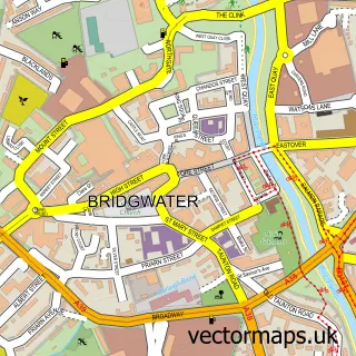
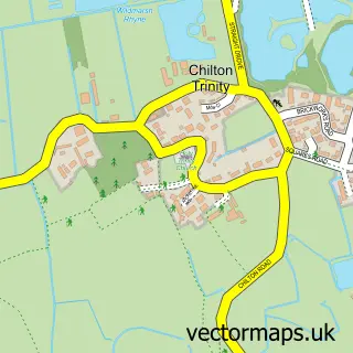
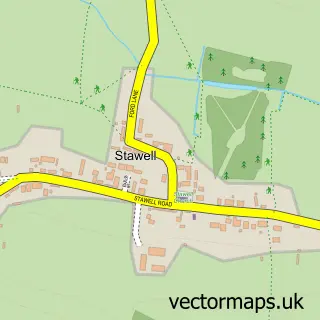
This Dunwear street map is a detailed vector street map covering a 750m x 750m area. Select a larger area to create and download your own vector street map of Dunwear.
The 750-metre map sample for Dunwear covers 93 mapped buildings and approximately 10.5 km of road detail, of which 4 named roads are named. The immediate area includes 5 GP surgeries within 2 miles and 1 MOT station, with 26 within 2 miles. To create a larger or custom map of Dunwear, the map builder lets you define your own coverage area and download editable SVG, PDF and PNG files.
Create a larger editable map of Dunwear
Choose any area you need and generate a high-quality vector map instantly. Perfect for print, planning, design, business and personal use.

This Dunwear street map in Somerset is available as downloadable SVG, PDF and PNG map files, or as a printed map for planning, business, display, education, local information and design work. You can also create a larger custom map area using the map selector.
What this Dunwear map sample shows
Dunwear lies within North Petherton Cp parish, part of North Petherton ward in the Somerset local authority area. The postcode geography for this area includes the TA postcode area, the TA7 postcode district and the TA7 0 postcode sector. Residents fall under the Nhs Somerset Integrated Care Board for NHS services.
Local features near Dunwear
Within 2 milesAmenities and services in and around Dunwear.
Administrative and postcode information for Dunwear
The local authority covering Dunwear is Somerset, within the county of Somerset. The settlement lies within North Petherton ward and North Petherton Cp civil parish. The TA7 postcode district and TA7 0 postcode sector serve the immediate area. NHS provision in the area is delivered through Somerset Nhs Foundation Trust.
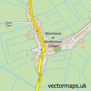
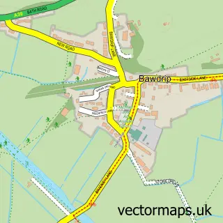
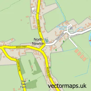
Nearby street map samples around Dunwear

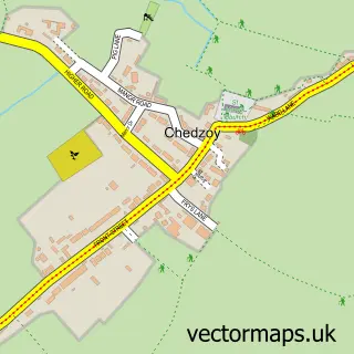
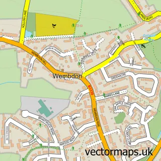
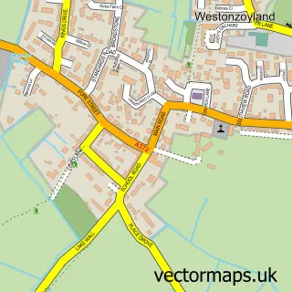
More street maps in Somerset
750 metre map area coverage
Boundary, postcode and point of interest information for the 750m x 750m rectangle centred on this sample map.
Boundaries containing map centre
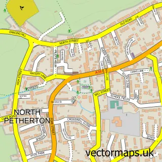
Constituency: Bridgwater Co Const
District: Somerset
Icb: NHS Somerset ICB
Parish: Bridgwater Without CP
Police Force: avon and somerset
Postcode District: TA6
Postcode Sector: TA6 5
Nearby boundaries intersecting sample
Parish: Bridgwater CP, North Petherton CP
Postcode District: TA7
Postcode Sector: TA6 6, TA7 0
Postcode coverage
POI category counts
Automotive Repair: 2
Building Supply Store: 2
Shoe Store: 2
Accommodation: 1
Automotive Parts And Accessories: 1
Bridge: 1
Electrician: 1
Fishing Club: 1
Gym: 1
Industrial Equipment: 1
Sample points of interest
- Jane's house
- Haworth & Son Ltd.
- ASG Autos
- South West Motorcycle Service
- River Parret
- Code 6 Timber Suppliers
- Code6 Timber Suppliers Ltd.
- PRP Electrical
- Summerhayes Fisheries
- Everdean Fishery
- Groundforce Shorco Bridgwater - Shoring Equipment Hire
- Ark Inventories
Create a larger editable map of Dunwear
This sample shows only a 750 metre area. To create a larger map of Dunwear, use our map builder to choose your own coverage area, add titles and download editable SVG, PDF and PNG files.
Create a custom map of Dunwear