This West Pennard street map is a detailed vector street map covering a 750m x 750m area. Select a larger area to create and download your own vector street map of West Pennard.
The 750-metre map sample for West Pennard covers 130 mapped buildings and approximately 11.1 km of road detail, of which 7 named roads are named. The immediate area includes 2 pubs and 1 MOT station. The wider area around West Pennard features 3 food and drink venues, 1 hotel and 3 campsites within 2 miles. To create a larger or custom map of West Pennard, the map builder lets you define your own coverage area and download editable SVG, PDF and PNG files.
Create a larger editable map of West Pennard
Choose any area you need and generate a high-quality vector map instantly. Perfect for print, planning, design, business and personal use.

This West Pennard street map in Somerset is available as downloadable SVG, PDF and PNG map files, or as a printed map for planning, business, display, education, local information and design work. You can also create a larger custom map area using the map selector.
What this West Pennard map sample shows
West Pennard lies within West Pennard Cp parish, part of The Pennards And Ditcheat ward in the Somerset local authority area. The postcode geography for this area includes the BA postcode area, the BA6 postcode district and the BA6 8 postcode sector. Residents fall under the Nhs Somerset Integrated Care Board for NHS services.
Local features near West Pennard
Within 2 milesAmenities and services in and around West Pennard.
Administrative and postcode information for West Pennard
The local authority covering West Pennard is Somerset, within the county of Somerset. The settlement lies within The Pennards And Ditcheat ward and West Pennard Cp civil parish. The BA6 postcode district and BA6 8 postcode sector serve the immediate area. NHS provision in the area is delivered through Yeovil District Hospital Nhs Foundation Trust.
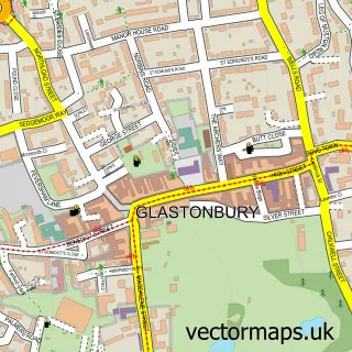
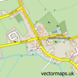
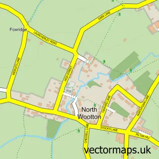
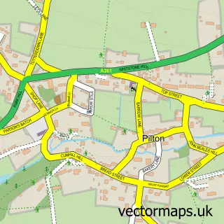
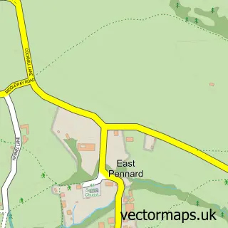
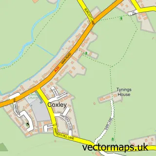
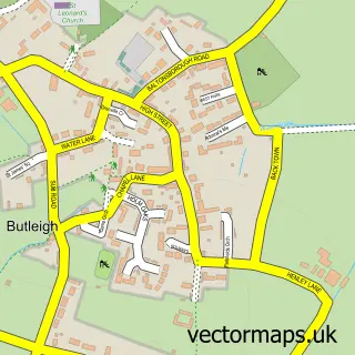
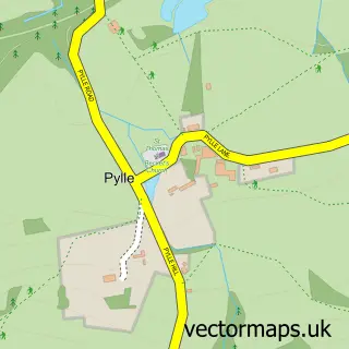
Nearby street map samples around West Pennard

More street maps in Somerset
750 metre map area coverage
Boundary, postcode and point of interest information for the 750m x 750m rectangle centred on this sample map.
Boundaries containing map centre
Constituency: Frome and East Somerset Co Const
District: Somerset
Icb: NHS Somerset ICB
Parish: West Pennard CP
Police Force: avon and somerset
Postcode District: BA6
Postcode Sector: BA6 8
Nearby boundaries intersecting sample
No additional intersecting boundaries found.
Postcode coverage
POI category counts
Pub: 2
Community Services Non Profits: 1
Event Planning: 1
Hotel: 1
Massage Therapy: 1
Restaurant: 1
Retirement Home: 1
Web Designer: 1
Yoga Studio: 1
Sample points of interest
- West Pennard Village Hall
- The Old Cider House Holiday Cottages, Glamping, Events & Weddings
- The Summerhouse Holiday Let in Glastonbury
- Therapy Hub Holistic Practice
- The Lion
- The Lion
- Appletree Inn
- The Cyder Barn
- Murfdog
- Yoga Hub Somerset
Create a larger editable map of West Pennard
This sample shows only a 750 metre area. To create a larger map of West Pennard, use our map builder to choose your own coverage area, add titles and download editable SVG, PDF and PNG files.
Create a custom map of West Pennard