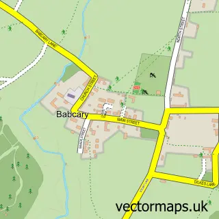
This Barton St. David street map is a detailed vector street map covering a 750m x 750m area. Select a larger area to create and download your own vector street map of Barton St. David.
The 750-metre map sample for Barton St. David covers 192 mapped buildings and approximately 9.3 km of road detail, of which 14 named roads are named. The immediate area includes 1 pub. The wider area around Barton St. David features 1 food and drink venue and 2 campsites within 2 miles. To create a larger or custom map of Barton St. David, the map builder lets you define your own coverage area and download editable SVG, PDF and PNG files.
Create a larger editable map of Barton St. David
Choose any area you need and generate a high-quality vector map instantly. Perfect for print, planning, design, business and personal use.

This Barton St. David street map in Somerset is available as downloadable SVG, PDF and PNG map files, or as a printed map for planning, business, display, education, local information and design work. You can also create a larger custom map area using the map selector.
What this Barton St. David map sample shows
Barton St. David lies within Barton St. David Cp parish, part of Northstone, Ivelchester & St Michael's ward in the Somerset local authority area. The postcode geography for this area includes the TA postcode area, the TA11 postcode district and the TA11 6 postcode sector. Residents fall under the Nhs Somerset Integrated Care Board for NHS services.
Local features near Barton St. David
Within 2 milesAmenities and services in and around Barton St. David.
Administrative and postcode information for Barton St. David
Barton St. David lies within Barton St. David Cp parish, part of Northstone, Ivelchester & St Michael's ward in the Somerset local authority area. The postcode geography for this area includes the TA postcode area, the TA11 postcode district and the TA11 6 postcode sector. Residents fall under the Nhs Somerset Integrated Care Board for NHS services.
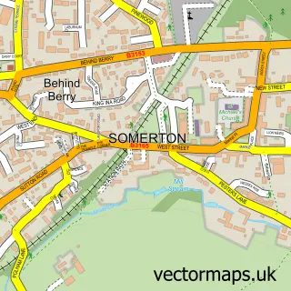
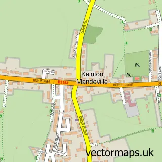
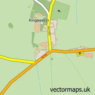
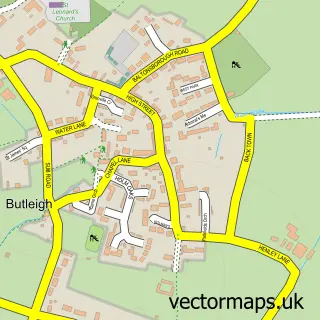
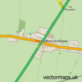
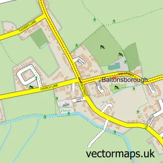
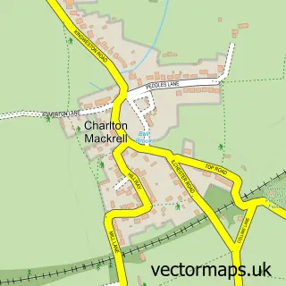
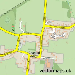
Nearby street map samples around Barton St. David

More street maps in Somerset
750 metre map area coverage
Boundary, postcode and point of interest information for the 750m x 750m rectangle centred on this sample map.
Boundaries containing map centre
Constituency: Glastonbury and Somerton Co Const
District: Somerset
Icb: NHS Somerset ICB
Parish: Barton St. David CP
Police Force: avon and somerset
Postcode District: TA11
Postcode Sector: TA11 6
Nearby boundaries intersecting sample
Parish: Kingweston CP
Postcode coverage
POI category counts
Preschool: 2
Anglican Church: 1
Beauty Salon: 1
Bed And Breakfast: 1
Building Supply Store: 1
Business Consulting: 1
Carpet Cleaning: 1
Event Planning: 1
Furniture Store: 1
Garage Door Service: 1
Sample points of interest
- Barton St David Parish Church
- Argento Hairdressing - Exclusive Aveda Salon
- Folly Cottage
- John Stone Electrical Services
- Odgers Conservation Consultants
- FibreSolve - Professional Carpet & Upholstery Cleaning
- Silver Street Loos
- Arkora
- Tor Garage Doors
- Gravatt Jewellery
- Barton St David Pre-School
- The Nest at Keinton Mandeville Primary School
Create a larger editable map of Barton St. David
This sample shows only a 750 metre area. To create a larger map of Barton St. David, use our map builder to choose your own coverage area, add titles and download editable SVG, PDF and PNG files.
Create a custom map of Barton St. David