This Somerton street map is a detailed vector street map covering a 750m x 750m area. Select a larger area to create and download your own vector street map of Somerton.
The 750-metre map sample for Somerton covers 388 mapped buildings and approximately 16.5 km of road detail, of which 37 named roads are named. The immediate area includes 1 GP surgery, 4 pubs and 2 MOT stations within 2 miles. The wider area around Somerton features 7 food and drink venues and 3 hotels. To create a larger or custom map of Somerton, the map builder lets you define your own coverage area and download editable SVG, PDF and PNG files.
Create a larger editable map of Somerton
Choose any area you need and generate a high-quality vector map instantly. Perfect for print, planning, design, business and personal use.

This Somerton street map in Somerset is available as downloadable SVG, PDF and PNG map files, or as a printed map for planning, business, display, education, local information and design work. You can also create a larger custom map area using the map selector.
What this Somerton map sample shows
Somerton lies within Somerton Cp parish, part of Wessex ward in the Somerset local authority area. The postcode geography for this area includes the TA postcode area, the TA11 postcode district and the TA11 6 postcode sector. Residents fall under the Nhs Somerset Integrated Care Board for NHS services.
Local features near Somerton
Within 2 milesAmenities and services in and around Somerton.
Administrative and postcode information for Somerton
The local authority covering Somerton is Somerset, within the county of Somerset. The settlement lies within Wessex ward and Somerton Cp civil parish. The TA11 postcode district and TA11 6 postcode sector serve the immediate area. NHS provision in the area is delivered through Yeovil District Hospital Nhs Foundation Trust.
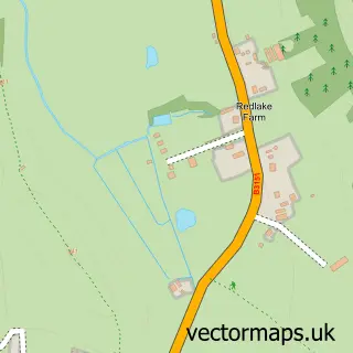
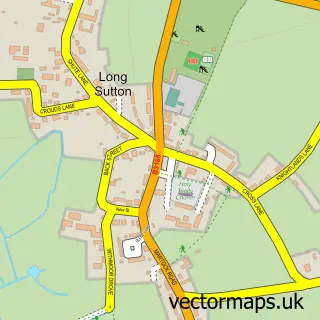
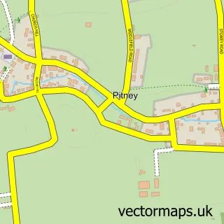
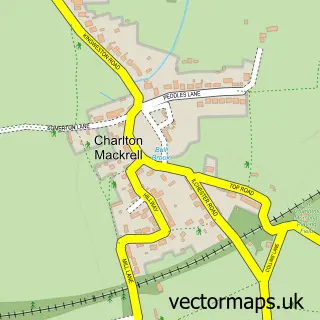
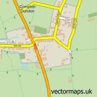
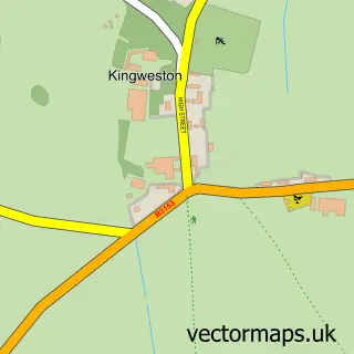
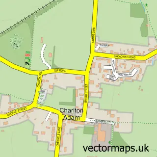
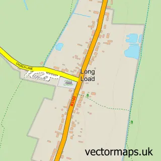
Nearby street map samples around Somerton


More street maps in Somerset
750 metre map area coverage
Boundary, postcode and point of interest information for the 750m x 750m rectangle centred on this sample map.
Boundaries containing map centre
Constituency: Glastonbury and Somerton Co Const
District: Somerset
Icb: NHS Somerset ICB
Parish: Somerton CP
Police Force: avon and somerset
Postcode District: TA11
Postcode Sector: TA11 7
Nearby boundaries intersecting sample
Postcode Sector: TA11 6
Postcode coverage
POI category counts
Hair Salon: 6
Antique Store: 4
Art Gallery: 4
Convenience Store: 4
Pub: 4
Arts And Crafts: 3
Butcher Shop: 3
Hardware Store: 3
Hotel: 3
Jewelry Store: 3
Sample points of interest
- Roy Copeland
- Accounting Angels
- Westcotts Chartered Accountants & Business Advisers
- Market Cross Antiques
- Market Cross Antiques
- Selwood House Antiques & Decorative
- St Margarets Somerset Hospice
- ACEarts
- Courthouse Gallery
- Som-Art-on
- Somerset Guild of Craftsmen
- Mrs McGregor's Craft Emporium
Create a larger editable map of Somerton
This sample shows only a 750 metre area. To create a larger map of Somerton, use our map builder to choose your own coverage area, add titles and download editable SVG, PDF and PNG files.
Create a custom map of Somerton