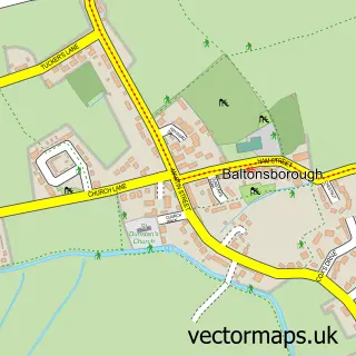
This Keinton Mandeville street map is a detailed vector street map covering a 750m x 750m area. Select a larger area to create and download your own vector street map of Keinton Mandeville.
The 750-metre map sample for Keinton Mandeville covers 234 mapped buildings and approximately 8.2 km of road detail, of which 13 named roads are named. The immediate area includes 1 pub. The wider area around Keinton Mandeville features 1 food and drink venue and 1 campsite within 2 miles. To create a larger or custom map of Keinton Mandeville, the map builder lets you define your own coverage area and download editable SVG, PDF and PNG files.
Create a larger editable map of Keinton Mandeville
Choose any area you need and generate a high-quality vector map instantly. Perfect for print, planning, design, business and personal use.

This Keinton Mandeville street map in Somerset is available as downloadable SVG, PDF and PNG map files, or as a printed map for planning, business, display, education, local information and design work. You can also create a larger custom map area using the map selector.
What this Keinton Mandeville map sample shows
Keinton Mandeville lies within Keinton Mandeville Cp parish, part of Northstone, Ivelchester & St Michael's ward in the Somerset local authority area. The postcode geography for this area includes the TA postcode area, the TA11 postcode district and the TA11 6 postcode sector. Residents fall under the Nhs Somerset Integrated Care Board for NHS services.
Local features near Keinton Mandeville
Within 2 milesAmenities and services in and around Keinton Mandeville.
Administrative and postcode information for Keinton Mandeville
Keinton Mandeville lies within Keinton Mandeville Cp parish, part of Northstone, Ivelchester & St Michael's ward in the Somerset local authority area. The postcode geography for this area includes the TA postcode area, the TA11 postcode district and the TA11 6 postcode sector. Residents fall under the Nhs Somerset Integrated Care Board for NHS services.
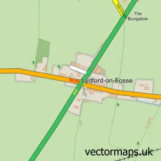
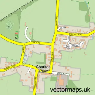
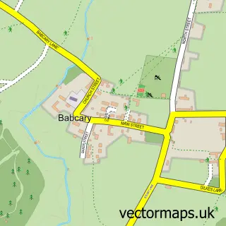
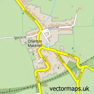
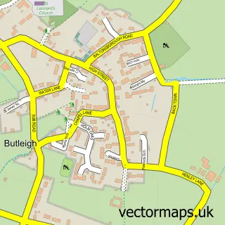
Nearby street map samples around Keinton Mandeville

More street maps in Somerset
750 metre map area coverage
Boundary, postcode and point of interest information for the 750m x 750m rectangle centred on this sample map.
Boundaries containing map centre
Constituency: Glastonbury and Somerton Co Const
District: Somerset
Icb: NHS Somerset ICB
Parish: Keinton Mandeville CP
Police Force: avon and somerset
Postcode District: TA11
Postcode Sector: TA11 6
Nearby boundaries intersecting sample
Parish: Lydford-on-Fosse CP
Postcode coverage
POI category counts
Convenience Store: 4
Assisted Living Facility: 2
Hair Salon: 2
Osteopathic Physician: 2
Alternative Medicine: 1
Construction Services: 1
Contractor: 1
Professional Services: 1
Pub: 1
Real Estate Investment: 1
Sample points of interest
- A Knight D O Osteopath
- Beech Tree House Residential Home
- Castle House Nursing Home
- J T Green General Builders
- Stones
- Keinton Stores
- Premier
- Premier
- Premier Keinton Stores
- Joseph May
- The Hair Studio
- Andrew M Knight Osteopath
Create a larger editable map of Keinton Mandeville
This sample shows only a 750 metre area. To create a larger map of Keinton Mandeville, use our map builder to choose your own coverage area, add titles and download editable SVG, PDF and PNG files.
Create a custom map of Keinton Mandeville