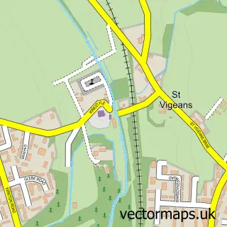
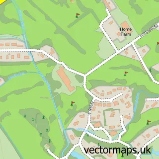
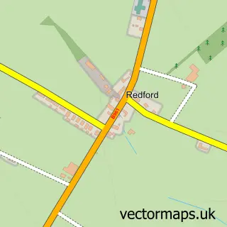
This Arbroath street map is a detailed vector street map covering a 750m x 750m area. Select a larger area to create and download your own vector street map of Arbroath.
The 750-metre map sample for Arbroath covers 105 mapped buildings and approximately 20.5 km of road detail, of which 58 named roads are named. The immediate area includes 4 GP surgeries, 9 pubs and 2 MOT stations, with 11 within 2 miles. The wider area around Arbroath features 1 tourism point of interest, 29 food and drink venues and 6 hotels. To create a larger or custom map of Arbroath, the map builder lets you define your own coverage area and download editable SVG, PDF and PNG files.
Create a larger editable map of Arbroath
Choose any area you need and generate a high-quality vector map instantly. Perfect for print, planning, design, business and personal use.

This Arbroath street map in Angus is available as downloadable SVG, PDF and PNG map files, or as a printed map for planning, business, display, education, local information and design work. You can also create a larger custom map area using the map selector.
What this Arbroath map sample shows
Arbroath lies within Angus parish, part of Arbroath East And Lunan ward in the Angus local authority area. The postcode geography for this area includes the DD postcode area, the DD11 postcode district and the DD11 1 postcode sector. Residents fall under the Tayside for NHS services.
Local features near Arbroath
Within 2 milesAmenities and services in and around Arbroath.
Administrative and postcode information for Arbroath
Arbroath lies within Angus parish, part of Arbroath East And Lunan ward in the Angus local authority area. The postcode geography for this area includes the DD postcode area, the DD11 postcode district and the DD11 1 postcode sector. Residents fall under the Tayside for NHS services.
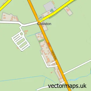
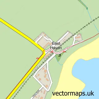
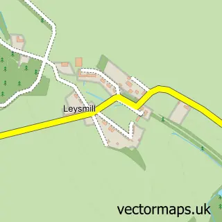
Nearby street map samples around Arbroath

More street maps in Angus
750 metre map area coverage
Boundary, postcode and point of interest information for the 750m x 750m rectangle centred on this sample map.
Boundaries containing map centre
Constituency: Arbroath and Broughty Ferry Co Const
District: Angus
Icb: Tayside
Postcode District: DD11
Postcode Sector: DD11 1
Ward: Arbroath East and Lunan Ward
Nearby boundaries intersecting sample
Postcode Sector: DD11 5
Postcode coverage
POI category counts
Beauty Salon: 15
Charity Organization: 10
Hair Salon: 10
Cafe: 9
Church Cathedral: 9
Pharmacy: 9
Pub: 9
Bar: 8
Fishmonger: 8
Professional Services: 7
Sample points of interest
- Angus Acupuncture
- Cancer Research UK
- Salvation Army
- Shelter
- CEF
- City Electrical Factors Ltd. (CEF)
- Arbroath Art Gallery
- Art on the Quay
- Resin Art Gallery
- Resin Art Gallery
- The Original Art Club at WHITE BOX
- Cotmad
Create a larger editable map of Arbroath
This sample shows only a 750 metre area. To create a larger map of Arbroath, use our map builder to choose your own coverage area, add titles and download editable SVG, PDF and PNG files.
Create a custom map of Arbroath