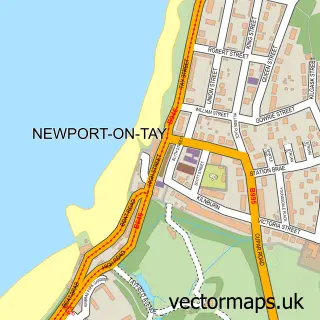
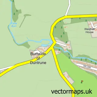
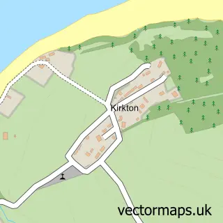
This Dundee street map is a detailed vector street map covering a 750m x 750m area. Select a larger area to create and download your own vector street map of Dundee.
The 750-metre map sample for Dundee covers 26 mapped buildings and approximately 26.2 km of road detail, of which 70 named roads are named. The immediate area includes 14 GP surgeries within 2 miles, 34 pubs and 1 MOT station, with 37 within 2 miles. The wider area around Dundee features 17 tourism points of interest, 101 food and drink venues and 13 hotels. To create a larger or custom map of Dundee, the map builder lets you define your own coverage area and download editable SVG, PDF and PNG files.
Create a larger editable map of Dundee
Choose any area you need and generate a high-quality vector map instantly. Perfect for print, planning, design, business and personal use.

This Dundee street map in City of Dundee is available as downloadable SVG, PDF and PNG map files, or as a printed map for planning, business, display, education, local information and design work. You can also create a larger custom map area using the map selector.
What this Dundee map sample shows
Dundee lies within Dundee City parish, part of Maryfield ward in the Dundee City local authority area. The postcode geography for this area includes the DD postcode area, the DD1 postcode district and the DD1 3 postcode sector. Local NHS services are provided through Tayside.
Local features near Dundee
Within 2 milesAmenities and services in and around Dundee.
Administrative and postcode information for Dundee
Dundee lies within Dundee City parish, part of Maryfield ward in the Dundee City local authority area. The postcode geography for this area includes the DD postcode area, the DD1 postcode district and the DD1 3 postcode sector. Local NHS services are provided through Tayside.
Nearby street map samples around Dundee
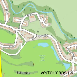
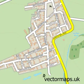
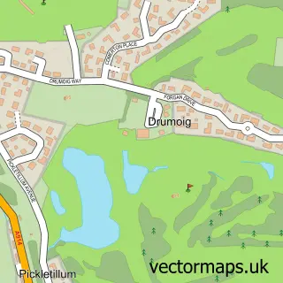
More street maps in City of Dundee
750 metre map area coverage
Boundary, postcode and point of interest information for the 750m x 750m rectangle centred on this sample map.
Boundaries containing map centre
Constituency: Dundee Central Burgh Const
District: Dundee City
Icb: Tayside
Postcode District: DD1
Postcode Sector: DD1 1
Ward: Maryfield Ward
Nearby boundaries intersecting sample
Postcode Sector: DD1 2, DD1 3, DD1 4
Ward: West End Ward
Postcode coverage
POI category counts
Beauty Salon: 42
Clothing Store: 37
Pub: 34
Bar: 30
Coffee Shop: 27
Cafe: 25
Hair Salon: 25
Jewelry Store: 21
Fast Food Restaurant: 20
Beauty And Spa: 19
Sample points of interest
- Tayside Drug Problems Service
- Meadowside Court | Student Accommodation in Dundee
- Aberdein Considine
- Ashton McGill
- Bird Simpson & Co.
- James A Buchanan Accountants
- MMG Chartered Accountants
- Mint Accounting
- TaxAssist Accountants
- Walker Dunnett & Co
- Figure 8 Consultancy
- Acu-Rate Acupuncture
Create a larger editable map of Dundee
This sample shows only a 750 metre area. To create a larger map of Dundee, use our map builder to choose your own coverage area, add titles and download editable SVG, PDF and PNG files.
Create a custom map of Dundee