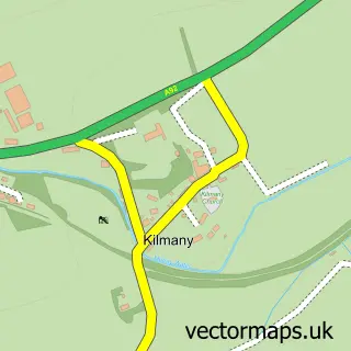
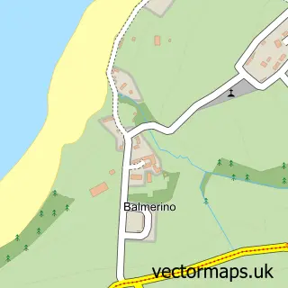
This Drumoig street map is a detailed vector street map covering a 750m x 750m area. Select a larger area to create and download your own vector street map of Drumoig.
The 750-metre map sample for Drumoig covers 70 mapped buildings and approximately 8.9 km of road detail, of which 4 named roads are named. The immediate area includes 1 GP surgery within 2 miles. To create a larger or custom map of Drumoig, the map builder lets you define your own coverage area and download editable SVG, PDF and PNG files.
Create a larger editable map of Drumoig
Choose any area you need and generate a high-quality vector map instantly. Perfect for print, planning, design, business and personal use.

This Drumoig street map in Fife is available as downloadable SVG, PDF and PNG map files, or as a printed map for planning, business, display, education, local information and design work. You can also create a larger custom map area using the map selector.
What this Drumoig map sample shows
Drumoig lies within Fife parish, part of Tay Bridgehead ward in the Fife local authority area. The postcode geography for this area includes the KY postcode area, the KY16 postcode district and the KY16 0 postcode sector. Residents fall under the Fife for NHS services.
Local features near Drumoig
Within 2 milesAmenities and services in and around Drumoig.
Administrative and postcode information for Drumoig
Drumoig lies within Fife parish, part of Tay Bridgehead ward in the Fife local authority area. The postcode geography for this area includes the KY postcode area, the KY16 postcode district and the KY16 0 postcode sector. Residents fall under the Fife for NHS services.
Nearby street map samples around Drumoig
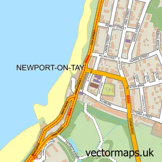

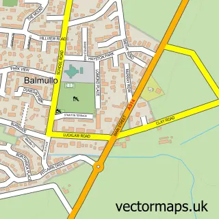
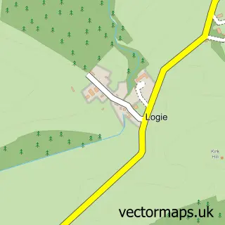
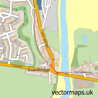
More street maps in Fife
750 metre map area coverage
Boundary, postcode and point of interest information for the 750m x 750m rectangle centred on this sample map.
Boundaries containing map centre
Constituency: North East Fife Co Const
District: Fife
Icb: Fife
Postcode District: KY16
Postcode Sector: KY16 0
Ward: Tay Bridgehead Ward
Nearby boundaries intersecting sample
No additional intersecting boundaries found.
Postcode coverage
POI category counts
Driving Range: 2
Golf Course: 2
Accommodation: 1
It Service And Computer Repair: 1
Taxi Service: 1
Sample points of interest
- Drumoig Golf Hotel
- Drumoig Driving Range
- Drumoig Golf Centre
- Drumoig Golf Course
- Stuart Syme Golf
- Quest IT Support
- Wormit Taxi Company
Create a larger editable map of Drumoig
This sample shows only a 750 metre area. To create a larger map of Drumoig, use our map builder to choose your own coverage area, add titles and download editable SVG, PDF and PNG files.
Create a custom map of Drumoig