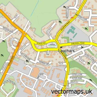
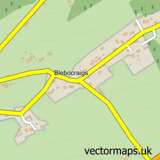
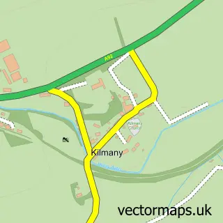
This Guardbridge street map is a detailed vector street map covering a 750m x 750m area. Select a larger area to create and download your own vector street map of Guardbridge.
The 750-metre map sample for Guardbridge covers 94 mapped buildings and approximately 5.4 km of road detail, of which 4 named roads are named. The immediate area includes 1 GP surgery within 2 miles, 1 pub and 1 MOT station, with 2 within 2 miles. The wider area around Guardbridge features 1 tourism point of interest, 3 food and drink venues and 1 campsite within 2 miles. To create a larger or custom map of Guardbridge, the map builder lets you define your own coverage area and download editable SVG, PDF and PNG files.
Create a larger editable map of Guardbridge
Choose any area you need and generate a high-quality vector map instantly. Perfect for print, planning, design, business and personal use.

This Guardbridge street map in Fife is available as downloadable SVG, PDF and PNG map files, or as a printed map for planning, business, display, education, local information and design work. You can also create a larger custom map area using the map selector.
What this Guardbridge map sample shows
Guardbridge lies within Fife parish, part of Tay Bridgehead ward in the Fife local authority area. The postcode geography for this area includes the KY postcode area, the KY16 postcode district and the KY16 0 postcode sector. Residents fall under the Fife for NHS services.
Local features near Guardbridge
Within 2 milesAmenities and services in and around Guardbridge.
Administrative and postcode information for Guardbridge
The local authority covering Guardbridge is Fife, within the county of Fife. The settlement lies within Tay Bridgehead ward and Fife civil parish. The KY16 postcode district and KY16 0 postcode sector serve the immediate area. NHS provision in the area is delivered through Fife.
Nearby street map samples around Guardbridge

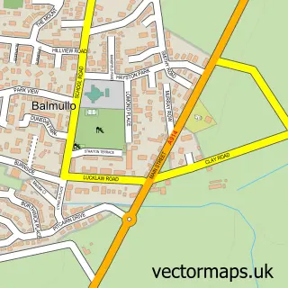
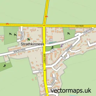
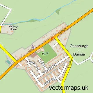
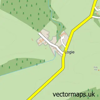
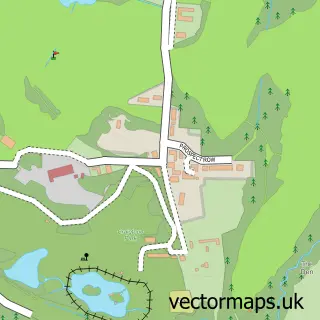
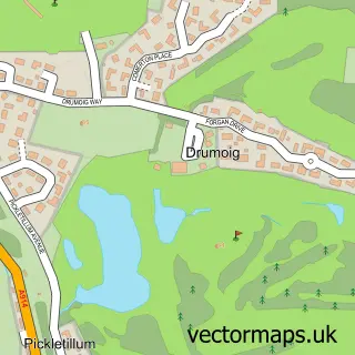
More street maps in Fife
750 metre map area coverage
Boundary, postcode and point of interest information for the 750m x 750m rectangle centred on this sample map.
Boundaries containing map centre
Constituency: North East Fife Co Const
District: Fife
Icb: Fife
Postcode District: KY16
Postcode Sector: KY16 0
Ward: Tay Bridgehead Ward
Nearby boundaries intersecting sample
Ward: St. Andrews Ward
Postcode coverage
POI category counts
Coffee Shop: 2
Home Developer: 2
Post Office: 2
Antique Store: 1
Appliance Store: 1
Beach: 1
Beauty Salon: 1
Beverage Store: 1
Building Supply Store: 1
College University: 1
Sample points of interest
- Malcolm Antiques
- Stoveco
- St Andrews Beach
- Kristen Percival Aesthetics
- Dans Goods
- Graeme Buchan Building Services
- Dan's Goods Limited
- Eden Coffee Shop
- Entrepreneurship Centre
- Edenside Market
- Eden Mill
- Dali's Fish & Pizza Bar
Create a larger editable map of Guardbridge
This sample shows only a 750 metre area. To create a larger map of Guardbridge, use our map builder to choose your own coverage area, add titles and download editable SVG, PDF and PNG files.
Create a custom map of Guardbridge