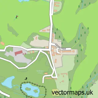
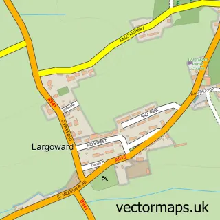
This Strathkinness street map is a detailed vector street map covering a 750m x 750m area. Select a larger area to create and download your own vector street map of Strathkinness.
The 750-metre map sample for Strathkinness covers 126 mapped buildings and approximately 11.9 km of road detail, of which 12 named roads are named. The immediate area includes 1 pub and 1 MOT station, with 2 within 2 miles. The wider area around Strathkinness features 1 food and drink venue, 2 hotels and 2 campsites within 2 miles. To create a larger or custom map of Strathkinness, the map builder lets you define your own coverage area and download editable SVG, PDF and PNG files.
Create a larger editable map of Strathkinness
Choose any area you need and generate a high-quality vector map instantly. Perfect for print, planning, design, business and personal use.

This Strathkinness street map in Fife is available as downloadable SVG, PDF and PNG map files, or as a printed map for planning, business, display, education, local information and design work. You can also create a larger custom map area using the map selector.
What this Strathkinness map sample shows
Strathkinness lies within Fife parish, part of St Andrews ward in the Fife local authority area. The postcode geography for this area includes the KY postcode area, the KY16 postcode district and the KY16 9 postcode sector. Residents fall under the Fife for NHS services.
Local features near Strathkinness
Within 2 milesAmenities and services in and around Strathkinness.
Administrative and postcode information for Strathkinness
Strathkinness lies within Fife parish, part of St Andrews ward in the Fife local authority area. The postcode geography for this area includes the KY postcode area, the KY16 postcode district and the KY16 9 postcode sector. Residents fall under the Fife for NHS services.
Nearby street map samples around Strathkinness
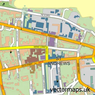

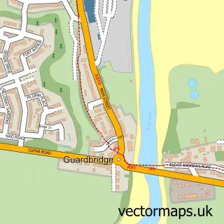
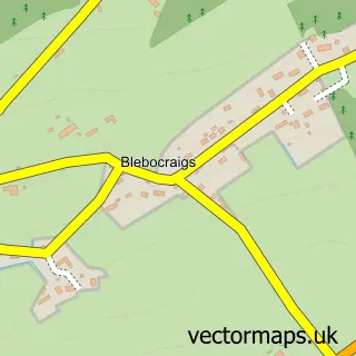
More street maps in Fife
750 metre map area coverage
Boundary, postcode and point of interest information for the 750m x 750m rectangle centred on this sample map.
Boundaries containing map centre
Constituency: North East Fife Co Const
District: Fife
Icb: Fife
Postcode District: KY16
Postcode Sector: KY16 9
Ward: St. Andrews Ward
Nearby boundaries intersecting sample
No additional intersecting boundaries found.
Postcode coverage
POI category counts
Hotel: 2
Active Life: 1
Art Gallery: 1
Audio Visual Equipment Store: 1
Bed And Breakfast: 1
Elementary School: 1
Post Office: 1
Preschool: 1
Pub: 1
Scout Hall: 1
Sample points of interest
- Performance Golf Studio St Andrews
- 201 Telephone Gallery
- Sounds Inc.
- Knockhill Farm Bed & Breakfast
- Strathkinness Primary School
- Fossil Cottage Strathkinness
- Upper Largo Hotel
- Strathkinness Post Office
- Strathkinness Playgroup - St Andrews
- The Tavern
- 8th Fife (St Andrews)
Create a larger editable map of Strathkinness
This sample shows only a 750 metre area. To create a larger map of Strathkinness, use our map builder to choose your own coverage area, add titles and download editable SVG, PDF and PNG files.
Create a custom map of Strathkinness