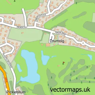
This St Andrews street map is a detailed vector street map covering a 750m x 750m area. Select a larger area to create and download your own vector street map of St Andrews.
The 750-metre map sample for St Andrews covers 114 mapped buildings and approximately 14.6 km of road detail, of which 28 named roads are named. The immediate area includes 2 GP surgeries within 2 miles, 10 pubs and 5 MOT stations within 2 miles. The wider area around St Andrews features 19 tourism points of interest, 42 food and drink venues and 25 hotels. To create a larger or custom map of St Andrews, the map builder lets you define your own coverage area and download editable SVG, PDF and PNG files.
Create a larger editable map of St Andrews
Choose any area you need and generate a high-quality vector map instantly. Perfect for print, planning, design, business and personal use.

This St Andrews street map in Fife is available as downloadable SVG, PDF and PNG map files, or as a printed map for planning, business, display, education, local information and design work. You can also create a larger custom map area using the map selector.
What this St Andrews map sample shows
St Andrews lies within Fife parish, part of St Andrews ward in the Fife local authority area. The postcode geography for this area includes the KY postcode area, the KY16 postcode district and the KY16 9 postcode sector. Residents fall under the Fife for NHS services.
Local features near St Andrews
Within 2 milesAmenities and services in and around St Andrews.
Administrative and postcode information for St Andrews
The local authority covering St Andrews is Fife, within the county of Fife. The settlement lies within St Andrews ward and Fife civil parish. The KY16 postcode district and KY16 9 postcode sector serve the immediate area. NHS provision in the area is delivered through Fife.
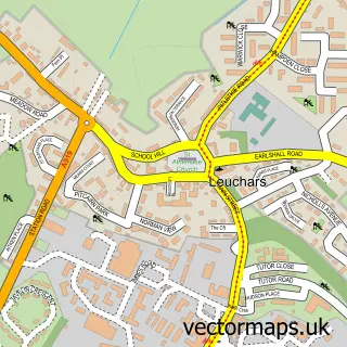
Nearby street map samples around St Andrews

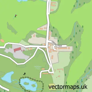
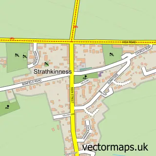
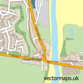
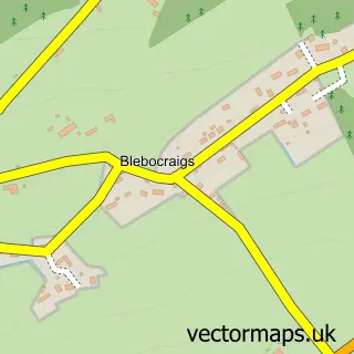
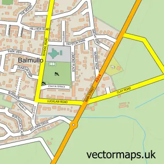
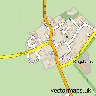
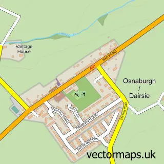
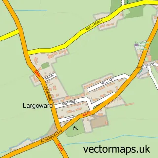
More street maps in Fife
750 metre map area coverage
Boundary, postcode and point of interest information for the 750m x 750m rectangle centred on this sample map.
Boundaries containing map centre
Constituency: North East Fife Co Const
District: Fife
Icb: Fife
Postcode District: KY16
Postcode Sector: KY16 9
Ward: St. Andrews Ward
Nearby boundaries intersecting sample
No additional intersecting boundaries found.
Postcode coverage
POI category counts
College University: 33
Hotel: 25
Clothing Store: 20
Bed And Breakfast: 17
Bar: 12
Coffee Shop: 12
Flowers And Gifts Shop: 12
Cafe: 11
Campus Building: 10
Church Cathedral: 10
Sample points of interest
- Deans Court
- Gannochy House
- McIntosh Hall - University of St Andrews
- Parliament Hall, St. Andrews
- St Regulus Hall
- St Salvator's Hall
- Henderson Black & Co
- Cycle Standrews
- ISSOS
- Sense Scotland Charity
- Shelter
- Hosies of St. Andrews
Create a larger editable map of St Andrews
This sample shows only a 750 metre area. To create a larger map of St Andrews, use our map builder to choose your own coverage area, add titles and download editable SVG, PDF and PNG files.
Create a custom map of St Andrews