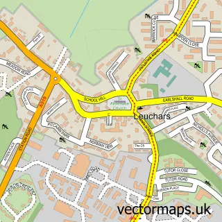
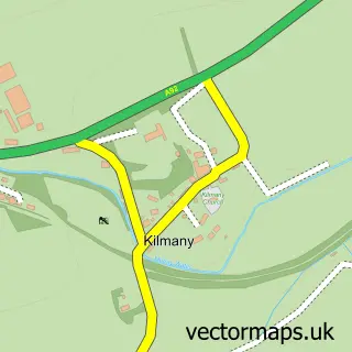
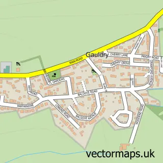
This Balmullo street map is a detailed vector street map covering a 750m x 750m area. Select a larger area to create and download your own vector street map of Balmullo.
The 750-metre map sample for Balmullo covers 150 mapped buildings and approximately 16.5 km of road detail, of which 22 named roads are named. The immediate area includes 1 GP surgery within 2 miles and 1 pub. The wider area around Balmullo features 1 tourism point of interest, 1 food and drink venue and 1 hotel. To create a larger or custom map of Balmullo, the map builder lets you define your own coverage area and download editable SVG, PDF and PNG files.
Create a larger editable map of Balmullo
Choose any area you need and generate a high-quality vector map instantly. Perfect for print, planning, design, business and personal use.

This Balmullo street map in Fife is available as downloadable SVG, PDF and PNG map files, or as a printed map for planning, business, display, education, local information and design work. You can also create a larger custom map area using the map selector.
What this Balmullo map sample shows
Balmullo lies within Fife parish, part of Tay Bridgehead ward in the Fife local authority area. The postcode geography for this area includes the KY postcode area, the KY16 postcode district and the KY16 0 postcode sector. Residents fall under the Fife for NHS services.
Local features near Balmullo
Within 2 milesAmenities and services in and around Balmullo.
Administrative and postcode information for Balmullo
Balmullo lies within Fife parish, part of Tay Bridgehead ward in the Fife local authority area. The postcode geography for this area includes the KY postcode area, the KY16 postcode district and the KY16 0 postcode sector. Residents fall under the Fife for NHS services.
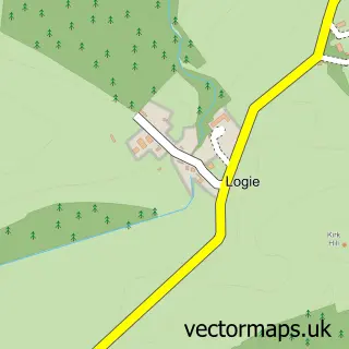
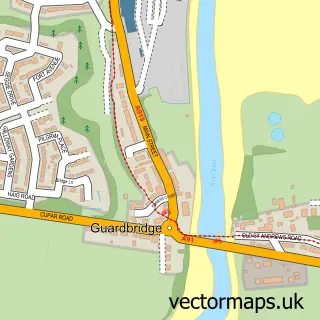
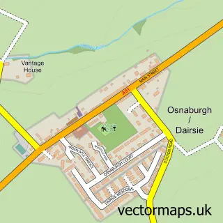
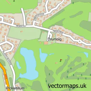
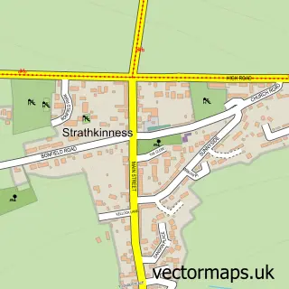
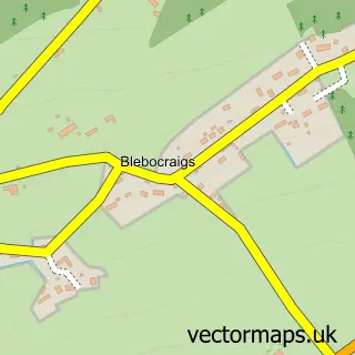
Nearby street map samples around Balmullo

More street maps in Fife
750 metre map area coverage
Boundary, postcode and point of interest information for the 750m x 750m rectangle centred on this sample map.
Boundaries containing map centre
Constituency: North East Fife Co Const
District: Fife
Icb: Fife
Postcode District: KY16
Postcode Sector: KY16 0
Ward: Tay Bridgehead Ward
Nearby boundaries intersecting sample
No additional intersecting boundaries found.
Postcode coverage
POI category counts
Convenience Store: 3
Beauty Salon: 2
Driving School: 2
Taxi Service: 2
Accountant: 1
Active Life: 1
Airport Shuttles: 1
Bridal Shop: 1
Business Management Services: 1
Caterer: 1
Sample points of interest
- Monteaths
- StAndrews Traction Kites
- St. Andrews Airport Transfer
- Get Glam
- Pam Smith Hairdressing
- Reids Photography
- Post Office-Balmullo
- Spitting Pig Scotland
- SPAR Balmullo
- SPAR Balmullo
- SPAR Leuchars
- Pitcairn Practice
Create a larger editable map of Balmullo
This sample shows only a 750 metre area. To create a larger map of Balmullo, use our map builder to choose your own coverage area, add titles and download editable SVG, PDF and PNG files.
Create a custom map of Balmullo