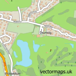
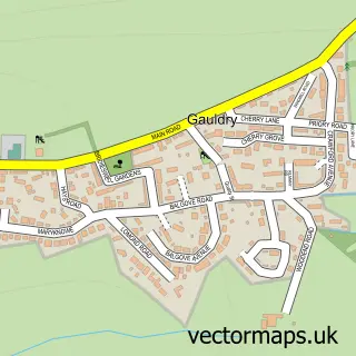
This Tayport street map is a detailed vector street map covering a 750m x 750m area. Select a larger area to create and download your own vector street map of Tayport.
The 750-metre map sample for Tayport covers 163 mapped buildings and approximately 18.9 km of road detail, of which 40 named roads are named. The immediate area includes 2 GP surgeries within 2 miles, 3 pubs and 1 MOT station, with 4 within 2 miles. The wider area around Tayport features 1 tourism point of interest and 6 food and drink venues. To create a larger or custom map of Tayport, the map builder lets you define your own coverage area and download editable SVG, PDF and PNG files.
Create a larger editable map of Tayport
Choose any area you need and generate a high-quality vector map instantly. Perfect for print, planning, design, business and personal use.

This Tayport street map in Fife is available as downloadable SVG, PDF and PNG map files, or as a printed map for planning, business, display, education, local information and design work. You can also create a larger custom map area using the map selector.
What this Tayport map sample shows
Tayport lies within Fife parish, part of Tay Bridgehead ward in the Fife local authority area. The postcode geography for this area includes the DD postcode area, the DD6 postcode district and the DD6 9 postcode sector. Local NHS services are provided through Fife.
Local features near Tayport
Within 2 milesAmenities and services in and around Tayport.
Administrative and postcode information for Tayport
The local authority covering Tayport is Fife, within the county of Fife. The settlement lies within Tay Bridgehead ward and Fife civil parish. The DD6 postcode district and DD6 9 postcode sector serve the immediate area. NHS provision in the area is delivered through Fife.
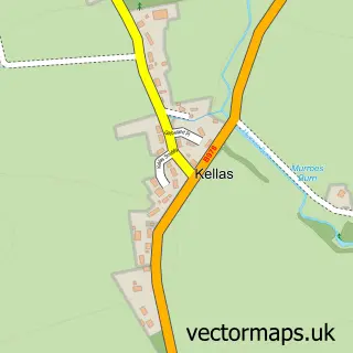
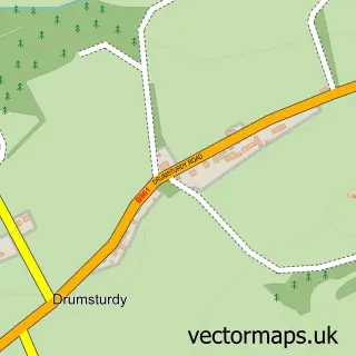
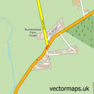
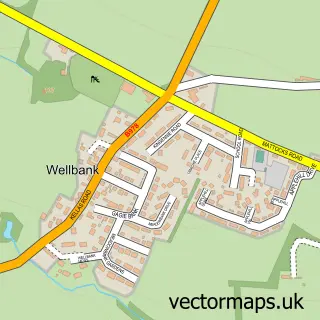
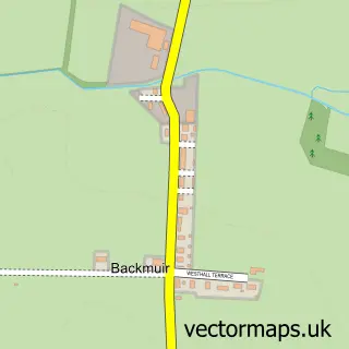
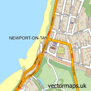
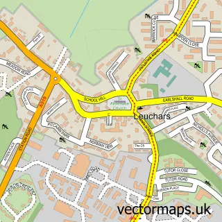
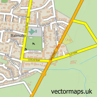
Nearby street map samples around Tayport

More street maps in Fife
750 metre map area coverage
Boundary, postcode and point of interest information for the 750m x 750m rectangle centred on this sample map.
Boundaries containing map centre
Constituency: North East Fife Co Const
District: Fife
Icb: Fife
Postcode District: DD6
Postcode Sector: DD6 9
Ward: Tay Bridgehead Ward
Nearby boundaries intersecting sample
No additional intersecting boundaries found.
Postcode coverage
POI category counts
Hair Salon: 3
Professional Services: 3
Pub: 3
Bowling Alley: 2
Coffee Shop: 2
Community Services Non Profits: 2
Convenience Store: 2
Shipping Center: 2
Sports Club And League: 2
Tattoo And Piercing: 2
Sample points of interest
- Standing On A Beach
- The Stingrays
- PayPoint
- Unipart Car Care Centre
- Bell Rock Tavern
- Tayport Barbers
- Coloured Soul Tayport
- Scotscraig Bowling Club
- Scotscraig Bowling Club
- Fifex Ltd.
- Tayport Butchers
- Harbour Cafe
Create a larger editable map of Tayport
This sample shows only a 750 metre area. To create a larger map of Tayport, use our map builder to choose your own coverage area, add titles and download editable SVG, PDF and PNG files.
Create a custom map of Tayport