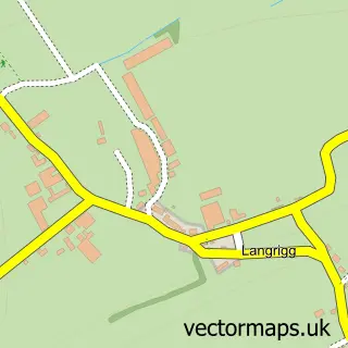
This Aspatria street map is a detailed vector street map covering a 750m x 750m area. Select a larger area to create and download your own vector street map of Aspatria.
The 750-metre map sample for Aspatria covers 335 mapped buildings and approximately 9.8 km of road detail, of which 19 named roads are named. The immediate area includes 1 school, 1 GP surgery within 2 miles, 2 pubs and 2 MOT stations within 2 miles. The wider area around Aspatria features 3 food and drink venues. To create a larger or custom map of Aspatria, the map builder lets you define your own coverage area and download editable SVG, PDF and PNG files.
Create a larger editable map of Aspatria
Choose any area you need and generate a high-quality vector map instantly. Perfect for print, planning, design, business and personal use.

This Aspatria street map in Cumbria is available as downloadable SVG, PDF and PNG map files, or as a printed map for planning, business, display, education, local information and design work. You can also create a larger custom map area using the map selector.
What this Aspatria map sample shows
Aspatria lies within Aspatria Cp parish, part of Aspatria ward in the Cumberland local authority area. The postcode geography for this area includes the CA postcode area, the CA7 postcode district and the CA7 3 postcode sector. Residents fall under the Nhs North East And North Cumbria Integrated Care Board for NHS services.
Local features near Aspatria
Within 2 milesAmenities and services in and around Aspatria.
Administrative and postcode information for Aspatria
The local authority covering Aspatria is Cumberland, within the county of Cumbria. The settlement lies within Aspatria ward and Aspatria Cp civil parish. The CA7 postcode district and CA7 3 postcode sector serve the immediate area. NHS provision in the area is delivered through North Cumbria Integrated Care Nhs Foundation Trust.
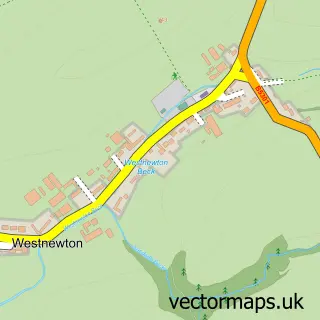
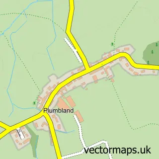
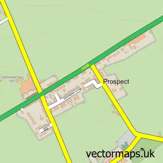
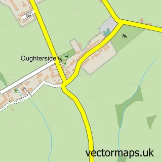
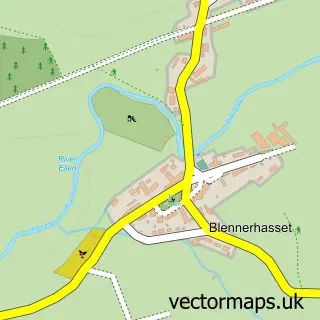
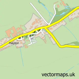
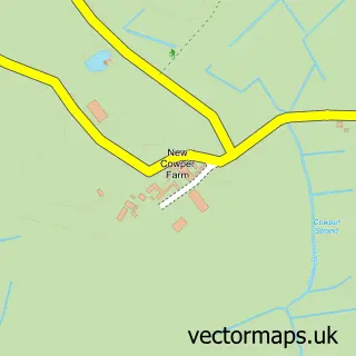
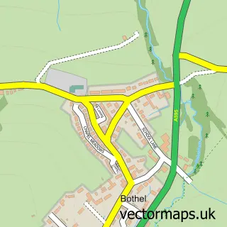
Nearby street map samples around Aspatria

More street maps in Cumbria
750 metre map area coverage
Boundary, postcode and point of interest information for the 750m x 750m rectangle centred on this sample map.
Boundaries containing map centre
Constituency: Penrith and Solway Co Const
District: Cumberland
Icb: NHS North East and North Cumbria ICB
Parish: Aspatria CP
Police Force: cumbria
Postcode District: CA7
Postcode Sector: CA7 3
Ward: Aspatria Ward
Nearby boundaries intersecting sample
Postcode Sector: CA7 2
Postcode coverage
POI category counts
Gas Station: 4
Banks: 3
Pizza Restaurant: 3
Bed And Breakfast: 2
Post Office: 2
Pub: 2
Amateur Sports Team: 1
Ambulance And Ems Services: 1
Anglican Church: 1
Auto Upholstery: 1
Sample points of interest
- Aspatria Hornets Rugby
- Aspatria Fire Station
- St Kentigern's Church
- Ghyll House Upholstery
- Caremblems
- CJ's Bakery & Sandwich Shop
- Cumberland Building Society
- NatWest
- NatWest Mobile Branch
- The Cumberland
- Brandraw House
- Grapes Hotel
Create a larger editable map of Aspatria
This sample shows only a 750 metre area. To create a larger map of Aspatria, use our map builder to choose your own coverage area, add titles and download editable SVG, PDF and PNG files.
Create a custom map of Aspatria