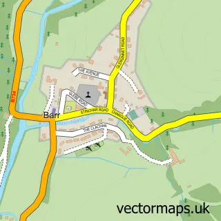
This Ballantrae street map is a detailed vector street map covering a 750m x 750m area. Select a larger area to create and download your own vector street map of Ballantrae.
The 750-metre map sample for Ballantrae covers 166 mapped buildings and approximately 10.9 km of road detail, of which 13 named roads are named. The immediate area includes 1 GP surgery, 1 pub and 1 MOT station. The wider area around Ballantrae features 2 tourism points of interest, 3 food and drink venues and 3 hotels. To create a larger or custom map of Ballantrae, the map builder lets you define your own coverage area and download editable SVG, PDF and PNG files.
Create a larger editable map of Ballantrae
Choose any area you need and generate a high-quality vector map instantly. Perfect for print, planning, design, business and personal use.

This Ballantrae street map in Ayrshire and Arran is available as downloadable SVG, PDF and PNG map files, or as a printed map for planning, business, display, education, local information and design work. You can also create a larger custom map area using the map selector.
What this Ballantrae map sample shows
Ballantrae lies within South Ayrshire parish, part of Girvan And South Carrick ward in the South Ayrshire local authority area. The postcode geography for this area includes the KA postcode area, the KA26 postcode district and the KA26 0 postcode sector. Residents fall under the Ayrshire And Arran for NHS services.
Local features near Ballantrae
Within 2 milesAmenities and services in and around Ballantrae.
Administrative and postcode information for Ballantrae
Ballantrae lies within South Ayrshire parish, part of Girvan And South Carrick ward in the South Ayrshire local authority area. The postcode geography for this area includes the KA postcode area, the KA26 postcode district and the KA26 0 postcode sector. Residents fall under the Ayrshire And Arran for NHS services.
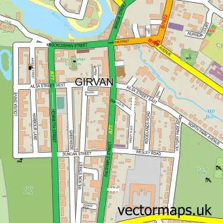
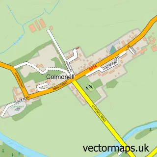
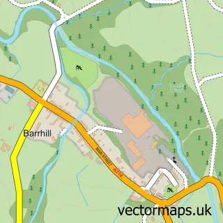
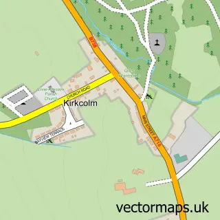
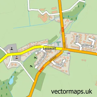
Nearby street map samples around Ballantrae

More street maps in Ayrshire and Arran
750 metre map area coverage
Boundary, postcode and point of interest information for the 750m x 750m rectangle centred on this sample map.
Boundaries containing map centre
Constituency: Ayr, Carrick and Cumnock Co Const
District: South Ayrshire
Icb: Ayrshire and Arran
Postcode District: KA26
Postcode Sector: KA26 0
Ward: Girvan and South Carrick Ward
Nearby boundaries intersecting sample
No additional intersecting boundaries found.
Postcode coverage
POI category counts
Hotel: 3
Beach: 2
Coffee Shop: 2
Shipping Center: 2
Automotive Repair: 1
Bank Credit Union: 1
Banks: 1
Beer Bar: 1
Building Supply Store: 1
Campground: 1
Sample points of interest
- Shellknowe Garage
- RBS
- The Royal Bank of Scotland
- Ballantrae Bay Beach
- Lendalfoot Beach
- Duck or Grouse at Lagganhouse
- Andy Muir
- Lagganhouse Country Park
- Ardstinchar Castle
- Ballantrae Parish Church
- Craigiemains Coffee Shop
- Trae Bakes at Craigiemains Garden Centre
Create a larger editable map of Ballantrae
This sample shows only a 750 metre area. To create a larger map of Ballantrae, use our map builder to choose your own coverage area, add titles and download editable SVG, PDF and PNG files.
Create a custom map of Ballantrae