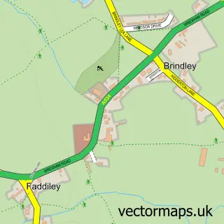
This Barbridge street map is a detailed vector street map covering a 750m x 750m area. Select a larger area to create and download your own vector street map of Barbridge.
The 750-metre map sample for Barbridge covers 85 mapped buildings and approximately 7.5 km of road detail, of which 8 named roads are named. The immediate area includes 1 pub and 4 MOT stations within 2 miles. The wider area around Barbridge features 1 food and drink venue. To create a larger or custom map of Barbridge, the map builder lets you define your own coverage area and download editable SVG, PDF and PNG files.
Create a larger editable map of Barbridge
Choose any area you need and generate a high-quality vector map instantly. Perfect for print, planning, design, business and personal use.

This Barbridge street map in Cheshire is available as downloadable SVG, PDF and PNG map files, or as a printed map for planning, business, display, education, local information and design work. You can also create a larger custom map area using the map selector.
What this Barbridge map sample shows
Barbridge lies within Stoke And Hurleston Cp parish, part of Bunbury ward in the Cheshire East (B) local authority area. The postcode geography for this area includes the CW postcode area, the CW5 postcode district and the CW5 6 postcode sector. Residents fall under the Nhs Cheshire And Merseyside Integrated Care Board for NHS services.
Local features near Barbridge
Within 2 milesAmenities and services in and around Barbridge.
Administrative and postcode information for Barbridge
The local authority covering Barbridge is Cheshire East (B), within the county of Cheshire. The settlement lies within Bunbury ward and Stoke And Hurleston Cp civil parish. The CW5 postcode district and CW5 6 postcode sector serve the immediate area. NHS provision in the area is delivered through Mid Cheshire Hospitals Nhs Foundation Trust.
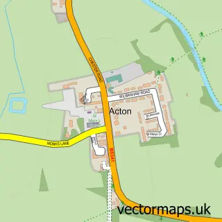
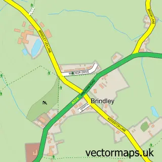
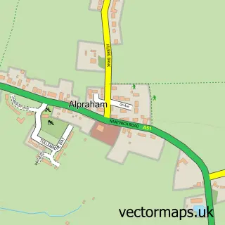
Nearby street map samples around Barbridge

More street maps in Cheshire
750 metre map area coverage
Boundary, postcode and point of interest information for the 750m x 750m rectangle centred on this sample map.
Boundaries containing map centre
Constituency: Chester South and Eddisbury Co Const
District: Cheshire East (B)
Icb: NHS Cheshire and Merseyside ICB
Parish: Stoke and Hurleston CP
Police Force: cheshire
Postcode District: CW5
Postcode Sector: CW5 6
Ward: Bunbury Ward
Nearby boundaries intersecting sample
Parish: Wardle CP
Postcode coverage
POI category counts
Bridge: 1
Building Supply Store: 1
Candy Store: 1
Chiropractor: 1
Construction Services: 1
Dog Walkers: 1
Food: 1
Interior Design: 1
Pub: 1
Sample points of interest
- Slinky Lynx at Bremilows Bridge
- Dave Adams Joinery
- Delicious Treats
- Avondale Chiropractic
- B.K Groundworks
- Nantwich Dog Walker
- The Olde Barbridge Inn
- Charisma Interior Design
- Barbridge Inn
Create a larger editable map of Barbridge
This sample shows only a 750 metre area. To create a larger map of Barbridge, use our map builder to choose your own coverage area, add titles and download editable SVG, PDF and PNG files.
Create a custom map of Barbridge