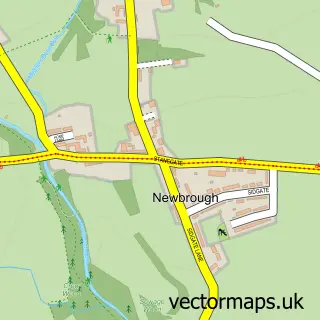
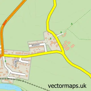
This Bardon Mill street map is a detailed vector street map covering a 750m x 750m area. Select a larger area to create and download your own vector street map of Bardon Mill.
The 750-metre map sample for Bardon Mill covers 104 mapped buildings and approximately 9.2 km of road detail, of which 3 named roads are named. The immediate area includes 1 railway station, 2 pubs and 1 MOT station within 2 miles. The wider area around Bardon Mill features 2 food and drink venues. To create a larger or custom map of Bardon Mill, the map builder lets you define your own coverage area and download editable SVG, PDF and PNG files.
Create a larger editable map of Bardon Mill
Choose any area you need and generate a high-quality vector map instantly. Perfect for print, planning, design, business and personal use.

This Bardon Mill street map in Northumberland is available as downloadable SVG, PDF and PNG map files, or as a printed map for planning, business, display, education, local information and design work. You can also create a larger custom map area using the map selector.
What this Bardon Mill map sample shows
Bardon Mill lies within Bardon Mill Cp parish, part of Haydon And Hadrian ward in the Northumberland local authority area. The postcode geography for this area includes the NE postcode area, the NE47 postcode district and the NE47 7 postcode sector. Residents fall under the Nhs North East And North Cumbria Integrated Care Board for NHS services.
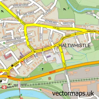
Local features near Bardon Mill
Within 2 milesAmenities and services in and around Bardon Mill.
Administrative and postcode information for Bardon Mill
Bardon Mill lies within Bardon Mill Cp parish, part of Haydon And Hadrian ward in the Northumberland local authority area. The postcode geography for this area includes the NE postcode area, the NE47 postcode district and the NE47 7 postcode sector. Residents fall under the Nhs North East And North Cumbria Integrated Care Board for NHS services.
Nearby street map samples around Bardon Mill

More street maps in Northumberland
750 metre map area coverage
Boundary, postcode and point of interest information for the 750m x 750m rectangle centred on this sample map.
Boundaries containing map centre
Constituency: Hexham Co Const
District: Northumberland
Icb: NHS North East and North Cumbria ICB
Parish: Henshaw CP
Police Force: northumberland
Postcode District: NE47
Postcode Sector: NE47 7
Nearby boundaries intersecting sample
Parish: Bardon Mill CP
Postcode coverage
POI category counts
Pub: 2
Train Station: 2
Community Center: 1
Cottage: 1
Home And Garden: 1
Structure And Geography: 1
Tea Room: 1
Sample points of interest
- Bardon Mill Village Hall
- Burnside Cottage
- Errington Reay
- Bowes Hotel
- The Bowes Hotel
- Scrogg Wood
- Bardon Mill Stores & Tea Room
- Bardon Mill
- Bardon Mill Railway Station (BLL)
Create a larger editable map of Bardon Mill
This sample shows only a 750 metre area. To create a larger map of Bardon Mill, use our map builder to choose your own coverage area, add titles and download editable SVG, PDF and PNG files.
Create a custom map of Bardon Mill