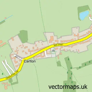
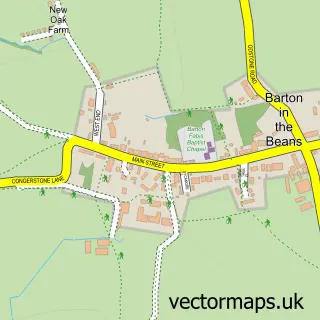
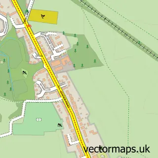
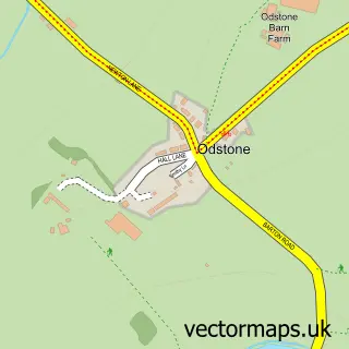
This Barlestone street map is a detailed vector street map covering a 750m x 750m area. Select a larger area to create and download your own vector street map of Barlestone.
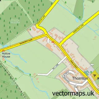
The 750-metre map sample for Barlestone covers 410 mapped buildings and approximately 16.7 km of road detail, of which 26 named roads are named. The immediate area includes 1 school, 1 GP surgery within 2 miles, 2 pubs and 2 MOT stations within 2 miles. The wider area around Barlestone features 2 food and drink venues. To create a larger or custom map of Barlestone, the map builder lets you define your own coverage area and download editable SVG, PDF and PNG files.
Create a larger editable map of Barlestone
Choose any area you need and generate a high-quality vector map instantly. Perfect for print, planning, design, business and personal use.

This Barlestone street map in Leicestershire is available as downloadable SVG, PDF and PNG map files, or as a printed map for planning, business, display, education, local information and design work. You can also create a larger custom map area using the map selector.
What this Barlestone map sample shows
Barlestone lies within Barlestone Cp parish, part of Barlestone, Nailstone And Osbaston ward in the Hinckley And Bosworth District (B) local authority area. The postcode geography for this area includes the CV postcode area, the CV13 postcode district and the CV13 0 postcode sector. Residents fall under the Nhs Leicester, Leicestershire And Rutland Integrated Care Board for NHS services.
Local features near Barlestone
Within 2 milesAmenities and services in and around Barlestone.
Administrative and postcode information for Barlestone
Barlestone lies within Barlestone Cp parish, part of Barlestone, Nailstone And Osbaston ward in the Hinckley And Bosworth District (B) local authority area. The postcode geography for this area includes the CV postcode area, the CV13 postcode district and the CV13 0 postcode sector. Residents fall under the Nhs Leicester, Leicestershire And Rutland Integrated Care Board for NHS services.
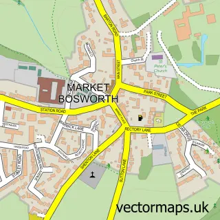
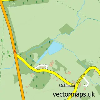
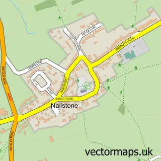
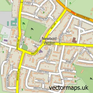
Nearby street map samples around Barlestone

More street maps in Leicestershire
750 metre map area coverage
Boundary, postcode and point of interest information for the 750m x 750m rectangle centred on this sample map.
Boundaries containing map centre
Constituency: Hinckley and Bosworth Co Const
County: Leicestershire County
District: Hinckley and Bosworth District (B)
Icb: NHS Leicester Leicestershire and Rutland ICB
Parish: Barlestone CP
Police Force: leicestershire
Postcode District: CV13
Postcode Sector: CV13 0
Ward: Barlestone, Nailstone and Osbaston Ward
Nearby boundaries intersecting sample
No additional intersecting boundaries found.
Postcode coverage
POI category counts
Hair Salon: 2
Pub: 2
Alternative Medicine: 1
Anglican Church: 1
Asian Restaurant: 1
Atms: 1
Automotive Parts And Accessories: 1
Baptist Church: 1
Beauty And Spa: 1
Business Management Services: 1
Sample points of interest
- Equilibrium Holistic Therapy
- St Giles, Barlestone
- Oriental
- Central England Co-Op - Barlestone, Barlestone
- Eco Scooters
- Barlestone Baptist Church
- Nail Extensions, Lash and Brows at KKO Salon
- AS Miles Consulting Ltd.
- M P Farm Services Ltd.
- First Steps Playgroup
- Big Red Sweeps
- ECC
Create a larger editable map of Barlestone
This sample shows only a 750 metre area. To create a larger map of Barlestone, use our map builder to choose your own coverage area, add titles and download editable SVG, PDF and PNG files.
Create a custom map of Barlestone