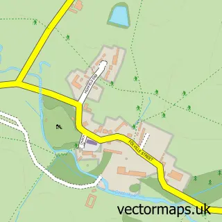
This Barsby street map is a detailed vector street map covering a 750m x 750m area. Select a larger area to create and download your own vector street map of Barsby.
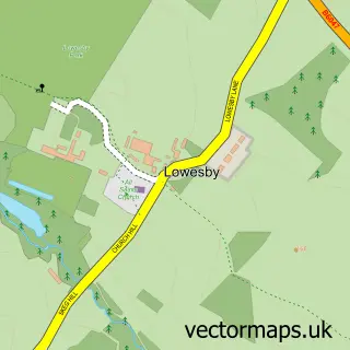
The 750-metre map sample for Barsby covers 113 mapped buildings and approximately 11.8 km of road detail, of which 7 named roads are named. To create a larger or custom map of Barsby, the map builder lets you define your own coverage area and download editable SVG, PDF and PNG files.
Create a larger editable map of Barsby
Choose any area you need and generate a high-quality vector map instantly. Perfect for print, planning, design, business and personal use.

This Barsby street map in Leicestershire is available as downloadable SVG, PDF and PNG map files, or as a printed map for planning, business, display, education, local information and design work. You can also create a larger custom map area using the map selector.
What this Barsby map sample shows
Barsby lies within Gaddesby Cp parish, part of Gaddesby ward in the Melton District (B) local authority area. The postcode geography for this area includes the LE postcode area, the LE7 postcode district and the LE7 4 postcode sector. Residents fall under the Nhs Leicester, Leicestershire And Rutland Integrated Care Board for NHS services.
Administrative and postcode information for Barsby
Barsby lies within Gaddesby Cp parish, part of Gaddesby ward in the Melton District (B) local authority area. The postcode geography for this area includes the LE postcode area, the LE7 postcode district and the LE7 4 postcode sector. Residents fall under the Nhs Leicester, Leicestershire And Rutland Integrated Care Board for NHS services.
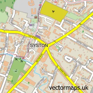
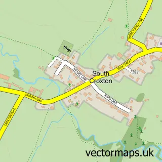
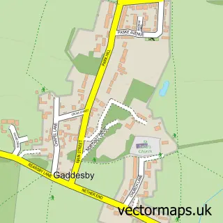
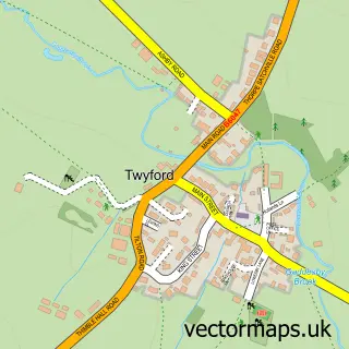
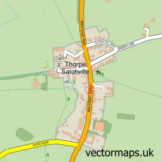
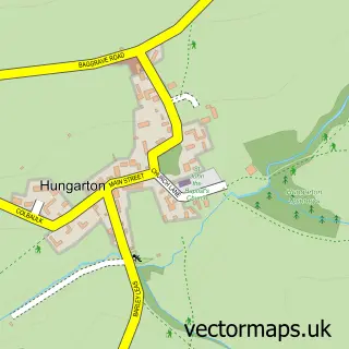
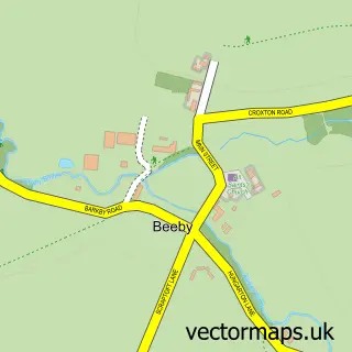
Nearby street map samples around Barsby

More street maps in Leicestershire
750 metre map area coverage
Boundary, postcode and point of interest information for the 750m x 750m rectangle centred on this sample map.
Boundaries containing map centre
Constituency: Melton and Syston Co Const
County: Leicestershire County
District: Melton District (B)
Icb: NHS Leicester Leicestershire and Rutland ICB
Parish: Gaddesby CP
Police Force: leicestershire
Postcode District: LE7
Postcode Sector: LE7 4
Ward: Gaddesby Ward
Nearby boundaries intersecting sample
District: Charnwood District (B)
Parish: South Croxton CP
Postcode Sector: LE7 3
Ward: Wreake Valley Ward
Postcode coverage
POI category counts
Professional Services: 2
Business Management Services: 1
Contractor: 1
Farming Services: 1
Fence And Gate Sales Service: 1
Land Surveying: 1
Sample points of interest
- Alchemy Fm & Catering Consultants
- D C Fencing
- Brian Goodacre Agricultural Contractors
- Fenceline Supplies Ltd.
- Cresswell Property Surveys
- Matthew Nutting Photography
- Shot Differently
Create a larger editable map of Barsby
This sample shows only a 750 metre area. To create a larger map of Barsby, use our map builder to choose your own coverage area, add titles and download editable SVG, PDF and PNG files.
Create a custom map of Barsby