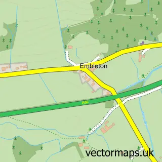
This Bassenthwaite street map is a detailed vector street map covering a 750m x 750m area. Select a larger area to create and download your own vector street map of Bassenthwaite.
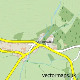
The 750-metre map sample for Bassenthwaite covers 49 mapped buildings and approximately 13.4 km of road detail, of which 1 named road are named. The immediate area includes 2 pubs. The wider area around Bassenthwaite features 2 tourism points of interest, 2 food and drink venues and 1 hotel. To create a larger or custom map of Bassenthwaite, the map builder lets you define your own coverage area and download editable SVG, PDF and PNG files.
Create a larger editable map of Bassenthwaite
Choose any area you need and generate a high-quality vector map instantly. Perfect for print, planning, design, business and personal use.

This Bassenthwaite street map in Cumbria is available as downloadable SVG, PDF and PNG map files, or as a printed map for planning, business, display, education, local information and design work. You can also create a larger custom map area using the map selector.
What this Bassenthwaite map sample shows
Bassenthwaite lies within Bassenthwaite Cp parish, part of Boltons ward in the Cumberland local authority area. The postcode geography for this area includes the CA postcode area, the CA12 postcode district and the CA12 4 postcode sector. Residents fall under the Nhs North East And North Cumbria Integrated Care Board for NHS services.
Local features near Bassenthwaite
Within 2 milesAmenities and services in and around Bassenthwaite.
Administrative and postcode information for Bassenthwaite
The local authority covering Bassenthwaite is Cumberland, within the county of Cumbria. The settlement lies within Boltons ward and Bassenthwaite Cp civil parish. The CA12 postcode district and CA12 4 postcode sector serve the immediate area. NHS provision in the area is delivered through North Cumbria Integrated Care Nhs Foundation Trust.
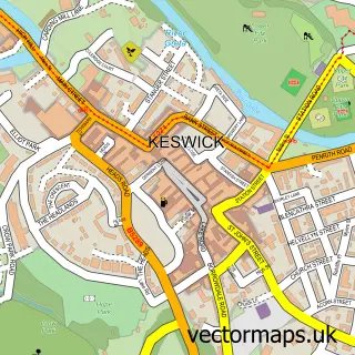
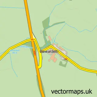
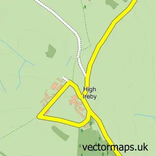
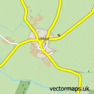
Nearby street map samples around Bassenthwaite

More street maps in Cumbria
750 metre map area coverage
Boundary, postcode and point of interest information for the 750m x 750m rectangle centred on this sample map.
Boundaries containing map centre
Constituency: Penrith and Solway Co Const
District: Cumberland
Icb: NHS North East and North Cumbria ICB
Parish: Bassenthwaite CP
Police Force: cumbria
Postcode District: CA12
Postcode Sector: CA12 4
Ward: Bothel and Wharrels Ward
Nearby boundaries intersecting sample
No additional intersecting boundaries found.
Postcode coverage
POI category counts
Holiday Rental Home: 2
Pub: 2
Active Life: 1
Alternative Medicine: 1
Campground: 1
Gym: 1
Hotel: 1
Mobile Home Park: 1
Park: 1
Pet Boarding: 1
Sample points of interest
- Thorny Crag- self catering Lake District
- C Waterhouse Intuitive Healing
- Robin Hood Caravan Park
- Air Ventures Paraglidng School
- Bassenthwaite hall farm & puddle duck cottages
- Rivendell Cottage
- Ravenstone Lodge Hotel
- Coalbeck Caravan Park
- High Close Holiday Home Park
- Brook House Cottage Holidays
- Carmen Norman Photography
- Post Office
Create a larger editable map of Bassenthwaite
This sample shows only a 750 metre area. To create a larger map of Bassenthwaite, use our map builder to choose your own coverage area, add titles and download editable SVG, PDF and PNG files.
Create a custom map of Bassenthwaite