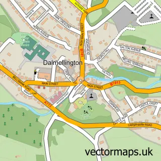
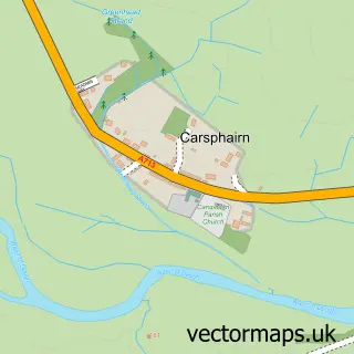
This Bellsbank street map is a detailed vector street map covering a 750m x 750m area. Select a larger area to create and download your own vector street map of Bellsbank.
The 750-metre map sample for Bellsbank covers 155 mapped buildings and approximately 14.6 km of road detail, of which 14 named roads are named. The immediate area includes 1 GP surgery within 2 miles and 1 MOT station within 2 miles. The wider area around Bellsbank features 1 food and drink venue. To create a larger or custom map of Bellsbank, the map builder lets you define your own coverage area and download editable SVG, PDF and PNG files.
Create a larger editable map of Bellsbank
Choose any area you need and generate a high-quality vector map instantly. Perfect for print, planning, design, business and personal use.

This Bellsbank street map in Ayrshire and Arran is available as downloadable SVG, PDF and PNG map files, or as a printed map for planning, business, display, education, local information and design work. You can also create a larger custom map area using the map selector.
What this Bellsbank map sample shows
Bellsbank lies within East Ayrshire parish, part of Doon Valley ward in the East Ayrshire local authority area. The postcode geography for this area includes the KA postcode area, the KA6 postcode district and the KA6 7 postcode sector. Residents fall under the Ayrshire And Arran for NHS services.
Local features near Bellsbank
Within 2 milesAmenities and services in and around Bellsbank.
Administrative and postcode information for Bellsbank
Bellsbank lies within East Ayrshire parish, part of Doon Valley ward in the East Ayrshire local authority area. The postcode geography for this area includes the KA postcode area, the KA6 postcode district and the KA6 7 postcode sector. Residents fall under the Ayrshire And Arran for NHS services.
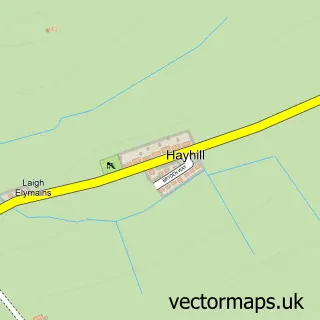
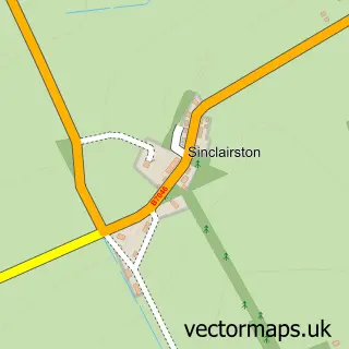
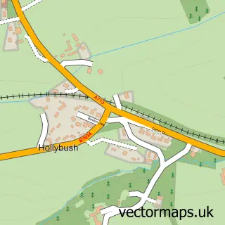
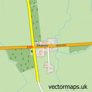
Nearby street map samples around Bellsbank

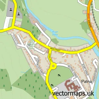
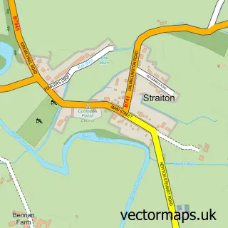
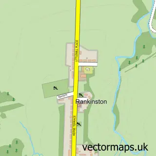
More street maps in Ayrshire and Arran
750 metre map area coverage
Boundary, postcode and point of interest information for the 750m x 750m rectangle centred on this sample map.
Boundaries containing map centre
Constituency: Ayr, Carrick and Cumnock Co Const
District: East Ayrshire
Icb: Ayrshire and Arran
Postcode District: KA6
Postcode Sector: KA6 7
Ward: Doon Valley Ward
Nearby boundaries intersecting sample
No additional intersecting boundaries found.
Postcode coverage
POI category counts
Convenience Store: 3
Elementary School: 2
Atms: 1
Cafe: 1
Catholic Church: 1
Chinese Restaurant: 1
Office Equipment: 1
School: 1
Sample points of interest
- NISA LOCAL DALMELLINGTON (Mirren), BELLSBANK
- The Regent
- Dalmellington Parish Church
- The Regent
- Day-Today Dalmellington (Bellsbank)
- Premier
- SPAR
- Bellsbank Primary School
- Bellsbank Primary School
- Cash Register Services
- Bellsbank Family Centre
Create a larger editable map of Bellsbank
This sample shows only a 750 metre area. To create a larger map of Bellsbank, use our map builder to choose your own coverage area, add titles and download editable SVG, PDF and PNG files.
Create a custom map of Bellsbank