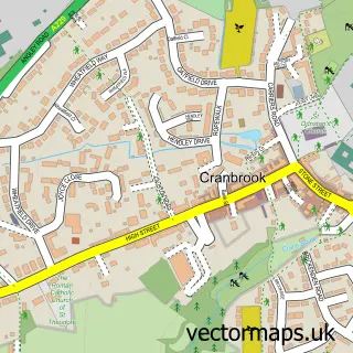
This Benenden street map is a detailed vector street map covering a 750m x 750m area. Select a larger area to create and download your own vector street map of Benenden.
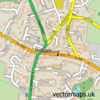
The 750-metre map sample for Benenden covers 169 mapped buildings and approximately 11.6 km of road detail, of which 11 named roads are named. The immediate area includes 1 school, 1 pub and 2 MOT stations within 2 miles. The wider area around Benenden features 2 food and drink venues and 1 hotel. To create a larger or custom map of Benenden, the map builder lets you define your own coverage area and download editable SVG, PDF and PNG files.
Create a larger editable map of Benenden
Choose any area you need and generate a high-quality vector map instantly. Perfect for print, planning, design, business and personal use.

This Benenden street map in Kent is available as downloadable SVG, PDF and PNG map files, or as a printed map for planning, business, display, education, local information and design work. You can also create a larger custom map area using the map selector.
What this Benenden map sample shows
Benenden lies within Benenden Cp parish, part of Benenden And Cranbrook ward in the Tunbridge Wells District (B) local authority area. The postcode geography for this area includes the TN postcode area, the TN17 postcode district and the TN17 4 postcode sector. Residents fall under the Nhs Kent And Medway Integrated Care Board for NHS services.
Local features near Benenden
Within 2 milesAmenities and services in and around Benenden.
Administrative and postcode information for Benenden
Benenden lies within Benenden Cp parish, part of Benenden And Cranbrook ward in the Tunbridge Wells District (B) local authority area. The postcode geography for this area includes the TN postcode area, the TN17 postcode district and the TN17 4 postcode sector. Residents fall under the Nhs Kent And Medway Integrated Care Board for NHS services.
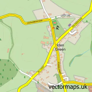
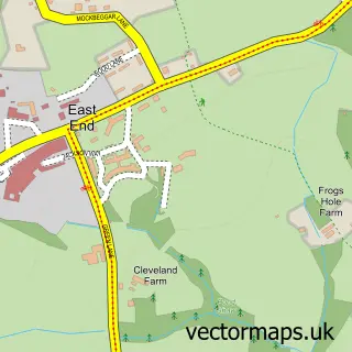
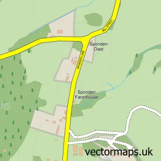
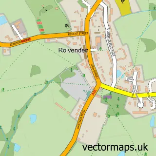
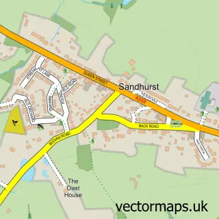
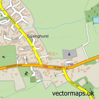
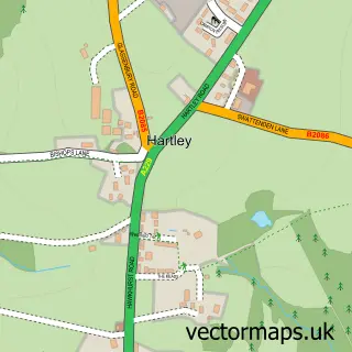
Nearby street map samples around Benenden

More street maps in Kent
750 metre map area coverage
Boundary, postcode and point of interest information for the 750m x 750m rectangle centred on this sample map.
Boundaries containing map centre
Constituency: Weald of Kent Co Const
County: Kent County
District: Tunbridge Wells District (B)
Icb: NHS Kent and Medway ICB
Parish: Benenden CP
Police Force: kent
Postcode District: TN17
Postcode Sector: TN17 4
Ward: Hawkhurst, Sandhurst & Benenden Ward
Nearby boundaries intersecting sample
No additional intersecting boundaries found.
Postcode coverage
POI category counts
Community Center: 2
Elementary School: 2
Post Office: 2
Advertising Agency: 1
Building Supply Store: 1
Business Management Services: 1
Cafe: 1
Church Cathedral: 1
Community Services Non Profits: 1
Counseling And Mental Health: 1
Sample points of interest
- RBP Design Annexe
- Benenden Carpentry & Restoration
- R B P Design Annexe
- Benenden's Community Shop, Post Office & Cafe
- St George's Church
- Benenden Village Hall
- Benenden, Kent
- Benenden Bellringers
- Rafaël Dupré
- Ami Piper School of Dance
- Benenden C of E Primary School
- Benenden C of E Primary School
Create a larger editable map of Benenden
This sample shows only a 750 metre area. To create a larger map of Benenden, use our map builder to choose your own coverage area, add titles and download editable SVG, PDF and PNG files.
Create a custom map of Benenden