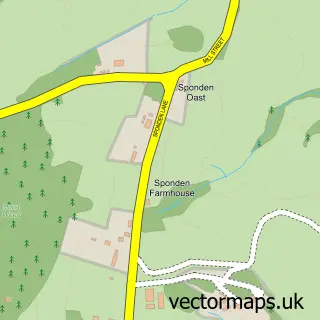
This Cranbrook street map is a detailed vector street map covering a 750m x 750m area. Select a larger area to create and download your own vector street map of Cranbrook.
The 750-metre map sample for Cranbrook covers 453 mapped buildings and approximately 13.3 km of road detail, of which 32 named roads are named. The immediate area includes 1 GP surgery, with 2 within 2 miles, 3 pubs and 2 MOT stations within 2 miles. The wider area around Cranbrook features 5 tourism points of interest, 12 food and drink venues and 1 hotel. To create a larger or custom map of Cranbrook, the map builder lets you define your own coverage area and download editable SVG, PDF and PNG files.
Create a larger editable map of Cranbrook
Choose any area you need and generate a high-quality vector map instantly. Perfect for print, planning, design, business and personal use.

This Cranbrook street map in Kent is available as downloadable SVG, PDF and PNG map files, or as a printed map for planning, business, display, education, local information and design work. You can also create a larger custom map area using the map selector.
What this Cranbrook map sample shows
Cranbrook lies within Cranbrook & Sissinghurst Cp parish, part of Benenden And Cranbrook ward in the Tunbridge Wells District (B) local authority area. The postcode geography for this area includes the TN postcode area, the TN17 postcode district and the TN17 3 postcode sector. Residents fall under the Nhs Kent And Medway Integrated Care Board for NHS services.
Local features near Cranbrook
Within 2 milesAmenities and services in and around Cranbrook.
Administrative and postcode information for Cranbrook
Cranbrook lies within Cranbrook & Sissinghurst Cp parish, part of Benenden And Cranbrook ward in the Tunbridge Wells District (B) local authority area. The postcode geography for this area includes the TN postcode area, the TN17 postcode district and the TN17 3 postcode sector. Residents fall under the Nhs Kent And Medway Integrated Care Board for NHS services.
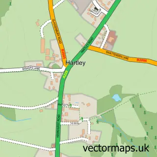
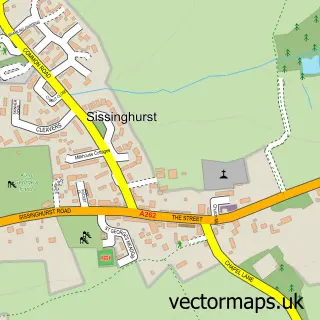
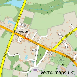
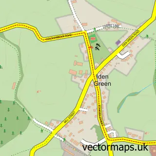
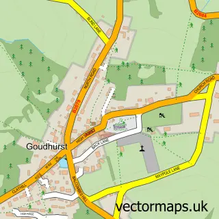
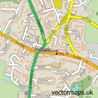
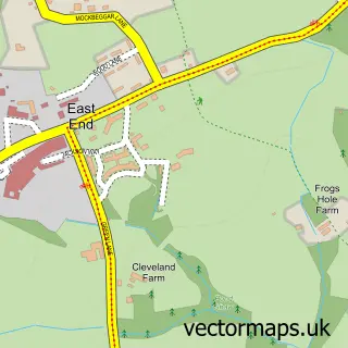
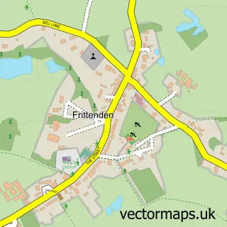
Nearby street map samples around Cranbrook

More street maps in Kent
750 metre map area coverage
Boundary, postcode and point of interest information for the 750m x 750m rectangle centred on this sample map.
Boundaries containing map centre
Constituency: Weald of Kent Co Const
County: Kent County
District: Tunbridge Wells District (B)
Icb: NHS Kent and Medway ICB
Parish: Cranbrook & Sissinghurst CP
Police Force: kent
Postcode District: TN17
Postcode Sector: TN17 3
Ward: Cranbrook, Sissinghurst & Frittenden Ward
Nearby boundaries intersecting sample
Postcode Sector: TN17 2
Postcode coverage
POI category counts
Beauty Salon: 7
Real Estate Agent: 7
Flowers And Gifts Shop: 5
Hair Salon: 5
Barber: 4
Boutique: 4
Clothing Store: 4
Professional Services: 4
Restaurant: 4
Bakery: 3
Sample points of interest
- McCabe Ford Williams
- Lexical Llama Copywriting
- Antiques at Cranbrook
- Richard Gill
- Cranbrook Do It Yourself Shop
- Stitch Up Logos
- Glebelands
- The Cooperative Food (BF) Cranbrook
- Owen Hearing Care Ltd
- Chaney & Son
- Mrs T. Potts Sweet Shoppe
- The Cranbrook Bakery
Create a larger editable map of Cranbrook
This sample shows only a 750 metre area. To create a larger map of Cranbrook, use our map builder to choose your own coverage area, add titles and download editable SVG, PDF and PNG files.
Create a custom map of Cranbrook