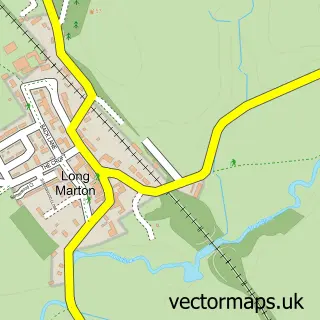
This Bolton street map is a detailed vector street map covering a 750m x 750m area. Select a larger area to create and download your own vector street map of Bolton.
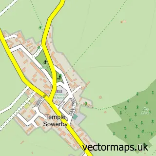
The 750-metre map sample for Bolton covers 152 mapped buildings and approximately 6.8 km of road detail, of which 8 named roads are named. The immediate area includes 1 school and 1 pub. The wider area around Bolton features 1 food and drink venue, 1 hotel and 1 campsite within 2 miles. To create a larger or custom map of Bolton, the map builder lets you define your own coverage area and download editable SVG, PDF and PNG files.
Create a larger editable map of Bolton
Choose any area you need and generate a high-quality vector map instantly. Perfect for print, planning, design, business and personal use.

This Bolton street map in Cumbria is available as downloadable SVG, PDF and PNG map files, or as a printed map for planning, business, display, education, local information and design work. You can also create a larger custom map area using the map selector.
What this Bolton map sample shows
Bolton lies within Bolton Cp parish, part of Crosby Ravensworth ward in the Westmorland And Furness local authority area. The postcode geography for this area includes the CA postcode area, the CA16 postcode district and the CA16 6 postcode sector. Residents fall under the Nhs North East And North Cumbria Integrated Care Board for NHS services.
Local features near Bolton
Within 2 milesAmenities and services in and around Bolton.
Administrative and postcode information for Bolton
Bolton lies within Bolton Cp parish, part of Crosby Ravensworth ward in the Westmorland And Furness local authority area. The postcode geography for this area includes the CA postcode area, the CA16 postcode district and the CA16 6 postcode sector. Residents fall under the Nhs North East And North Cumbria Integrated Care Board for NHS services.
Nearby street map samples around Bolton

More street maps in Cumbria
750 metre map area coverage
Boundary, postcode and point of interest information for the 750m x 750m rectangle centred on this sample map.
Boundaries containing map centre
Constituency: Westmorland and Lonsdale Co Const
District: Westmorland and Furness
Icb: NHS North East and North Cumbria ICB
Parish: Bolton CP
Police Force: cumbria
Postcode District: CA16
Postcode Sector: CA16 6
Ward: Eden and Lyvennet Vale Ward
Nearby boundaries intersecting sample
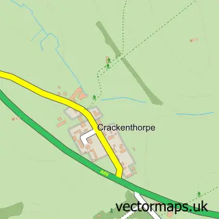
Parish: Crackenthorpe CP
Postcode coverage
POI category counts
Accommodation: 1
Anglican Church: 1
Business Manufacturing And Supply: 1
Church Cathedral: 1
Dentist: 1
Doctor: 1
Driving School: 1
Education: 1
Elementary School: 1
Environmental Renewable Natural Resource: 1
Sample points of interest
- Bolton Mill Holiday Park
- All Saints, Bolton
- TJ Ewbank Ltd
- All Saints Church
- Tufton Cottage Dental Practice
- ShivaOfficial
- kt driving
- Luz Beck Forest School
- Bolton Primary School
- Eden Energy Assessors
- LME First Aid
- T J Ewbank
Create a larger editable map of Bolton
This sample shows only a 750 metre area. To create a larger map of Bolton, use our map builder to choose your own coverage area, add titles and download editable SVG, PDF and PNG files.
Create a custom map of Bolton