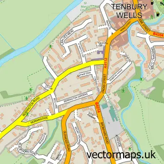
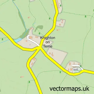
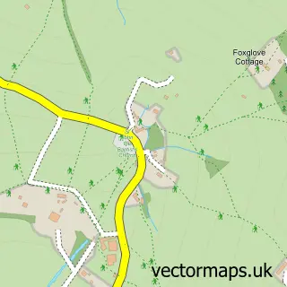
This Burford street map is a detailed vector street map covering a 750m x 750m area. Select a larger area to create and download your own vector street map of Burford.
The 750-metre map sample for Burford covers 155 mapped buildings and approximately 31.1 km of road detail, of which 11 named roads are named. The immediate area includes 1 GP surgery, 5 pubs and 3 MOT stations within 2 miles. The wider area around Burford features 12 food and drink venues. To create a larger or custom map of Burford, the map builder lets you define your own coverage area and download editable SVG, PDF and PNG files.
Create a larger editable map of Burford
Choose any area you need and generate a high-quality vector map instantly. Perfect for print, planning, design, business and personal use.

This Burford street map in Shropshire is available as downloadable SVG, PDF and PNG map files, or as a printed map for planning, business, display, education, local information and design work. You can also create a larger custom map area using the map selector.
What this Burford map sample shows
Burford lies within Burford Cp parish, part of Clee ward in the Shropshire local authority area. The postcode geography for this area includes the WR postcode area, the WR15 postcode district and the WR15 8 postcode sector. Residents fall under the Nhs Shropshire, Telford And Wrekin Integrated Care Board for NHS services.
Local features near Burford
Within 2 milesAmenities and services in and around Burford.
Administrative and postcode information for Burford
Burford lies within Burford Cp parish, part of Clee ward in the Shropshire local authority area. The postcode geography for this area includes the WR postcode area, the WR15 postcode district and the WR15 8 postcode sector. Residents fall under the Nhs Shropshire, Telford And Wrekin Integrated Care Board for NHS services.
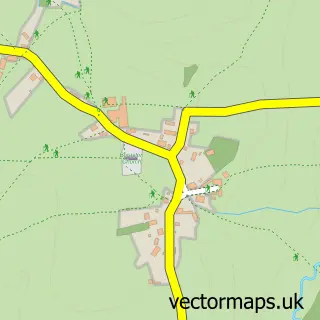
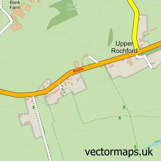
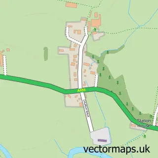
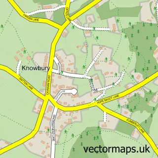
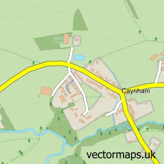
Nearby street map samples around Burford

More street maps in Shropshire
750 metre map area coverage
Boundary, postcode and point of interest information for the 750m x 750m rectangle centred on this sample map.
Boundaries containing map centre
Constituency: South Shropshire Co Const
District: Shropshire
Icb: NHS Shropshire Telford and Wrekin ICB
Parish: Burford CP
Police Force: west mercia
Postcode District: WR15
Postcode Sector: WR15 8
Nearby boundaries intersecting sample
Constituency: West Worcestershire Co Const
County: Worcestershire County
District: Malvern Hills District
Icb: NHS Herefordshire and Worcestershire ICB
Parish: Tenbury CP
Ward: Tenbury Ward
Postcode coverage
POI category counts
Pub: 5
Coffee Shop: 3
Gas Station: 3
Cafe: 2
Doctor: 2
Engineering Services: 2
Jewelry Store: 2
Naturopathic Holistic: 2
Passport And Visa Services: 2
Post Office: 2
Sample points of interest
- Tenbury Farm Supplies
- TSB Bank
- Tenbury Barbers
- Pure Beauty
- Bridge Café
- Tabs
- A L Selly Flooring Ltd
- Platters and Plates
- NILS
- Regal Cinema
- Smarty Pants and Accessories
- Jimbo's Bars Mobile Bars
Create a larger editable map of Burford
This sample shows only a 750 metre area. To create a larger map of Burford, use our map builder to choose your own coverage area, add titles and download editable SVG, PDF and PNG files.
Create a custom map of Burford