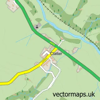
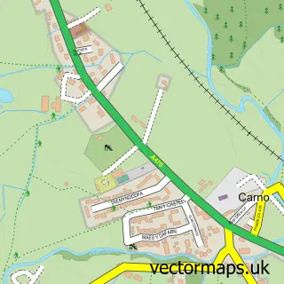
This Caersws street map is a detailed vector street map covering a 750m x 750m area. Select a larger area to create and download your own vector street map of Caersws.
The 750-metre map sample for Caersws covers 207 mapped buildings and approximately 27.5 km of road detail, of which 15 named roads are named. The immediate area includes 1 railway station, 1 GP surgery and 1 pub. The wider area around Caersws features 2 food and drink venues, 2 hotels and 1 campsite within 2 miles. To create a larger or custom map of Caersws, the map builder lets you define your own coverage area and download editable SVG, PDF and PNG files.
Create a larger editable map of Caersws
Choose any area you need and generate a high-quality vector map instantly. Perfect for print, planning, design, business and personal use.

This Caersws street map in Powys is available as downloadable SVG, PDF and PNG map files, or as a printed map for planning, business, display, education, local information and design work. You can also create a larger custom map area using the map selector.
What this Caersws map sample shows
Caersws lies within Caersws Community parish, part of Caersws ward in the Powys - Powys local authority area. The postcode geography for this area includes the SY postcode area, the SY17 postcode district and the SY17 5 postcode sector. Residents fall under the Powys Teaching Health Board for NHS services.
Local features near Caersws
Within 2 milesAmenities and services in and around Caersws.
Administrative and postcode information for Caersws
Caersws lies within Caersws Community parish, part of Caersws ward in the Powys - Powys local authority area. The postcode geography for this area includes the SY postcode area, the SY17 postcode district and the SY17 5 postcode sector. Residents fall under the Powys Teaching Health Board for NHS services.
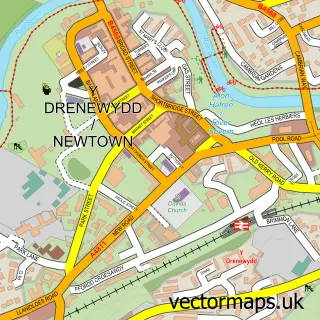
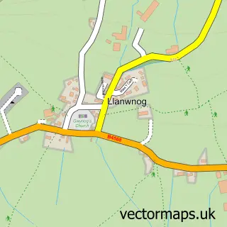
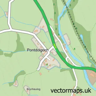
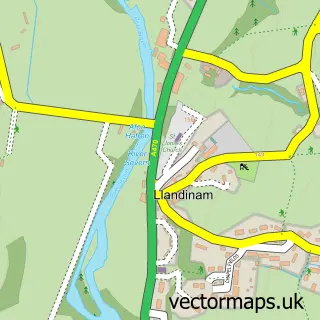
Nearby street map samples around Caersws

More street maps in Powys
750 metre map area coverage
Boundary, postcode and point of interest information for the 750m x 750m rectangle centred on this sample map.
Boundaries containing map centre
Constituency: Montgomeryshire and Glyndwr Co Const
District: Powys - Powys
Icb: Powys Teaching
Parish: Caersws Community
Police Force: dyfed-powys
Postcode District: SY17
Postcode Sector: SY17 5
Nearby boundaries intersecting sample
No additional intersecting boundaries found.
Postcode coverage
POI category counts
Convenience Store: 5
Building Supply Store: 2
Community Services Non Profits: 2
Hair Salon: 2
Hotel: 2
Stadium Arena: 2
Train Station: 2
Appliance Store: 1
Arts And Crafts: 1
Beauty And Spa: 1
Sample points of interest
- Mid Wales Technical Sewing Services
- Lavender Ceramics
- Bella Cabello
- K988
- Ian Jones Electrical Contractors
- Matt Brown Plumbing & Heating Ltd
- Landmark Street Furniture
- Caersws Village Hall
- Costa Express
- Mid Wales Vintage Machinery Club Ltd
- St John Ambulance Cymru
- Welsh Oak Frame
Create a larger editable map of Caersws
This sample shows only a 750 metre area. To create a larger map of Caersws, use our map builder to choose your own coverage area, add titles and download editable SVG, PDF and PNG files.
Create a custom map of Caersws