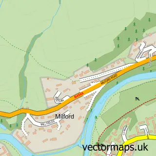
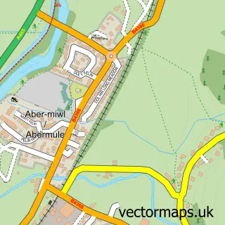
This Newtown street map is a detailed vector street map covering a 750m x 750m area. Select a larger area to create and download your own vector street map of Newtown.
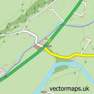
The 750-metre map sample for Newtown covers 279 mapped buildings and approximately 57.5 km of road detail, of which 46 named roads are named. The immediate area includes 3 schools, 1 railway station, 1 GP surgery and 11 pubs among other local services. The wider area around Newtown features 7 tourism points of interest, 29 food and drink venues and 4 hotels. To create a larger or custom map of Newtown, the map builder lets you define your own coverage area and download editable SVG, PDF and PNG files.
Create a larger editable map of Newtown
Choose any area you need and generate a high-quality vector map instantly. Perfect for print, planning, design, business and personal use.

This Newtown street map in Powys is available as downloadable SVG, PDF and PNG map files, or as a printed map for planning, business, display, education, local information and design work. You can also create a larger custom map area using the map selector.
What this Newtown map sample shows
Newtown lies within Newtown And Llanllwchaiarn Community parish, part of Newtown East ward in the Powys - Powys local authority area. The postcode geography for this area includes the SY postcode area, the SY16 postcode district and the SY16 1 postcode sector. Residents fall under the Powys Teaching Health Board for NHS services.
Local features near Newtown
Within 2 milesAmenities and services in and around Newtown.
Administrative and postcode information for Newtown
Newtown lies within Newtown And Llanllwchaiarn Community parish, part of Newtown East ward in the Powys - Powys local authority area. The postcode geography for this area includes the SY postcode area, the SY16 postcode district and the SY16 1 postcode sector. Residents fall under the Powys Teaching Health Board for NHS services.
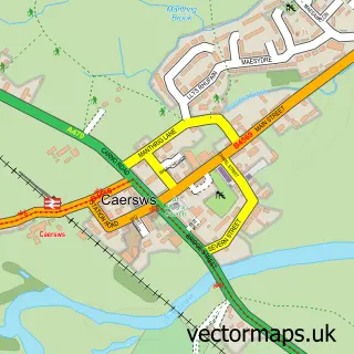
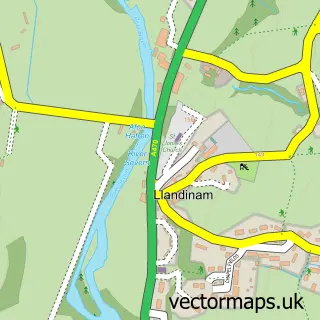
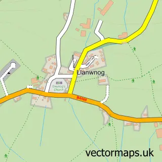
Nearby street map samples around Newtown

More street maps in Powys
750 metre map area coverage
Boundary, postcode and point of interest information for the 750m x 750m rectangle centred on this sample map.
Boundaries containing map centre
Constituency: Montgomeryshire and Glyndwr Co Const
District: Powys - Powys
Icb: Powys Teaching
Parish: Newtown and Llanllwchaiarn Community
Police Force: dyfed-powys
Postcode District: SY16
Postcode Sector: SY16 1
Nearby boundaries intersecting sample
Postcode Sector: SY16 2
Postcode coverage
POI category counts
Charity Organization: 13
Bank Credit Union: 11
Cafe: 11
Pub: 11
Professional Services: 10
Beauty Salon: 9
Hair Salon: 8
Dentist: 7
Banks: 5
Chinese Restaurant: 5
Sample points of interest
- Morgan Griffiths LLP
- Tyler Waddington Your Accountants
- Whittaker & Co
- Whittaker & Co.
- NaturalMed Acupuncture
- Motif Creative
- Wales Air Ambulance
- British Red Cross
- B J's Electrical
- B3BURGESS Ltd.
- Hughes Architects
- Newtown Cenotaph
Create a larger editable map of Newtown
This sample shows only a 750 metre area. To create a larger map of Newtown, use our map builder to choose your own coverage area, add titles and download editable SVG, PDF and PNG files.
Create a custom map of Newtown