This Calvert street map is a detailed vector street map covering a 750m x 750m area. Select a larger area to create and download your own vector street map of Calvert.
The 750-metre map sample for Calvert covers 181 mapped buildings and approximately 14.7 km of road detail, of which 11 named roads are named. The wider area around Calvert features 1 tourism point of interest. To create a larger or custom map of Calvert, the map builder lets you define your own coverage area and download editable SVG, PDF and PNG files.
Create a larger editable map of Calvert
Choose any area you need and generate a high-quality vector map instantly. Perfect for print, planning, design, business and personal use.

This Calvert street map in Buckinghamshire is available as downloadable SVG, PDF and PNG map files, or as a printed map for planning, business, display, education, local information and design work. You can also create a larger custom map area using the map selector.
What this Calvert map sample shows
Calvert lies within Charndon Cp parish, part of Marsh Gibbon ward in the Buckinghamshire local authority area. The postcode geography for this area includes the MK postcode area, the MK18 postcode district and the MK18 2 postcode sector. Residents fall under the Nhs Buckinghamshire, Oxfordshire And Berkshire West Integrated Care Board for NHS services.
Local features near Calvert
Within 2 milesAmenities and services in and around Calvert.
Administrative and postcode information for Calvert
Calvert lies within Charndon Cp parish, part of Marsh Gibbon ward in the Buckinghamshire local authority area. The postcode geography for this area includes the MK postcode area, the MK18 postcode district and the MK18 2 postcode sector. Residents fall under the Nhs Buckinghamshire, Oxfordshire And Berkshire West Integrated Care Board for NHS services.
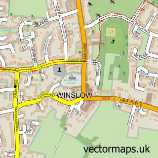
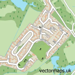
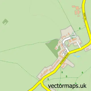
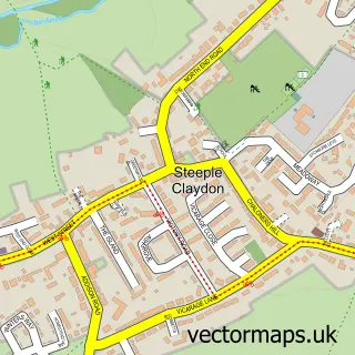
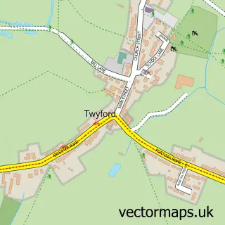
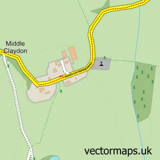
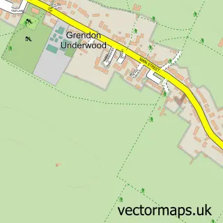
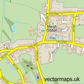
Nearby street map samples around Calvert

More street maps in Buckinghamshire
750 metre map area coverage
Boundary, postcode and point of interest information for the 750m x 750m rectangle centred on this sample map.
Boundaries containing map centre
Constituency: Mid Buckinghamshire Co Const
District: Buckinghamshire
Icb: NHS Thames Valley ICB
Parish: Charndon CP
Police Force: thames valley
Postcode District: MK18
Postcode Sector: MK18 2
Ward: Grendon Underwood & The Claydons Ward
Nearby boundaries intersecting sample
Parish: Calvert Green CP, Steeple Claydon CP, Twyford CP
Postcode District: OX27
Postcode Sector: OX27 0
Postcode coverage
POI category counts
Electrician: 2
Martial Arts Club: 2
Building Supply Store: 1
Contractor: 1
Hair Salon: 1
Landmark And Historical Building: 1
Landscaping: 1
Marketing Agency: 1
Naturopathic Holistic: 1
Photography Store And Services: 1
Sample points of interest
- Colourfence Garden Fencing - Milton Keynes
- J K Property Services
- GJC Electrical
- Lightfoot Brothers Ltd
- Starr Hair
- Calvert, Buckinghamshire
- BrillGardens
- Bloomfield McGuigan Marketing
- 1 To 1 Self Defence
- 1 to 1 Self Defence
- Green Wood Reiki Practice
- Juniper Green Photography
Create a larger editable map of Calvert
This sample shows only a 750 metre area. To create a larger map of Calvert, use our map builder to choose your own coverage area, add titles and download editable SVG, PDF and PNG files.
Create a custom map of Calvert