Vector Maps logo
Home Why it works Popular maps Districts Samples Customizer Create Your Map
VectorMaps.uk
Home Popular maps Districts Samples Customizer Create Your Map Privacy Disclaimer
Home / UK Maps / Buckinghamshire / Edgcott Map

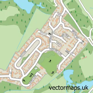
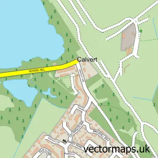
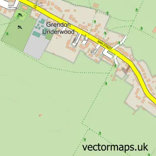
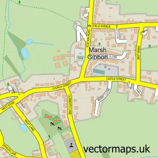
This Edgcott street map is a detailed vector street map covering a 750m x 750m area. Select a larger area to create and download your own vector street map of Edgcott.

Edgcott is a village in Buckinghamshire, in the South East of England. The settlement falls within the Buckingham parliamentary constituency. It is served by the HP18 postcode district, with HP18 0 as the local postcode sector.

The 750-metre map sample for Edgcott covers 56 mapped buildings and approximately 9.4 km of road detail, of which 6 named roads are named. To create a larger or custom map of Edgcott, the map builder lets you define your own coverage area and download editable SVG, PDF and PNG files.

56Buildings
9.43 kmRoads
6Named roads
1,376Residents within 2 miles
Create your own

Create a larger editable map of Edgcott

Choose any area you need and generate a high-quality vector map instantly. Perfect for print, planning, design, business and personal use.

Choose any location
Editable SVG files
Any size up to A0
PDF, PNG & more
Instant download
High quality guaranteed
Create My Custom Map
Secure, private & no credit card required
Edgcott Vector Street Map
750m Sample
Edgcott vector street map sample showing roads, buildings and local features in a 750 metre preview area
Buy Edgcott Map Print from £12.95 Buy Edgcott Digital Map from £6

This Edgcott street map in Buckinghamshire is available as downloadable SVG, PDF and PNG map files, or as a printed map for planning, business, display, education, local information and design work. You can also create a larger custom map area using the map selector.

What this Edgcott map sample shows

Edgcott lies within Edgcott Cp parish, part of Grendon Underwood & Brill ward in the Buckinghamshire local authority area. The postcode geography for this area includes the HP postcode area, the HP18 postcode district and the HP18 0 postcode sector. Residents fall under the Nhs Buckinghamshire, Oxfordshire And Berkshire West Integrated Care Board for NHS services.

Administrative and postcode information for Edgcott

The local authority covering Edgcott is Buckinghamshire, within the county of Buckinghamshire. The settlement lies within Grendon Underwood & Brill ward and Edgcott Cp civil parish. The HP18 postcode district and HP18 0 postcode sector serve the immediate area. NHS provision in the area is delivered through Buckinghamshire Healthcare Nhs Trust.

Parish Edgcott CP
Ward Grendon Underwood & Brill
District / local authority Buckinghamshire
County Buckinghamshire
Historic county Buckinghamshire
Postcode district HP18
Postcode sector HP18 0
Parliamentary constituency Buckingham
Region South East
Country England

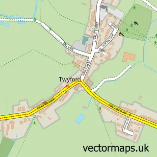
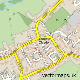
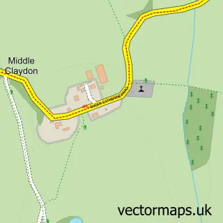
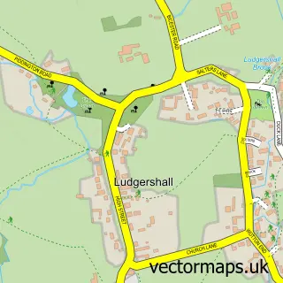
Nearby street map samples around Edgcott

Street map sample of Bicester, Oxfordshire Bicester Town - Oxfordshire - 5.8 miles Street map sample of Oxford, Oxfordshire Oxford City - Oxfordshire - 14.5 miles Street map sample of Calvert Green, Buckinghamshire Calvert Green Village - Buckinghamshire - 1.1 miles Street map sample of Calvert, Buckinghamshire Calvert Village - Buckinghamshire - 1.3 miles Street map sample of Grendon Underwood, Buckinghamshire Grendon Underwood Village - Buckinghamshire - 1.5 miles Street map sample of Marsh Gibbon, Buckinghamshire Marsh Gibbon Village - Buckinghamshire - 1.9 miles Street map sample of Twyford, Buckinghamshire Twyford Village - Buckinghamshire - 2.4 miles Street map sample of Steeple Claydon, Buckinghamshire Steeple Claydon Village - Buckinghamshire - 3.0 miles Street map sample of Middle Claydon, Buckinghamshire Middle Claydon Village - Buckinghamshire - 3.3 miles Street map sample of Ludgershall, Buckinghamshire Ludgershall Village - Buckinghamshire - 3.4 miles

More street maps in Buckinghamshire

Street map sample of Calvert Green, Buckinghamshire Calvert Green Village - 1.1 miles Street map sample of Calvert, Buckinghamshire Calvert Village - 1.3 miles Street map sample of Grendon Underwood, Buckinghamshire Grendon Underwood Village - 1.5 miles Street map sample of Marsh Gibbon, Buckinghamshire Marsh Gibbon Village - 1.9 miles Street map sample of Twyford, Buckinghamshire Twyford Village - 2.4 miles

750 metre map area coverage

Boundary, postcode and point of interest information for the 750m x 750m rectangle centred on this sample map.

Boundaries containing map centre

Constituency: Mid Buckinghamshire Co Const

District: Buckinghamshire

Icb: NHS Thames Valley ICB

Parish: Edgcott CP

Police Force: thames valley

Postcode District: HP18

Postcode Sector: HP18 0

Ward: Grendon Underwood & The Claydons Ward

Nearby boundaries intersecting sample

No additional intersecting boundaries found.

Postcode coverage

HP18 HP18 0

POI category counts

Anglican Church: 1

Business Consulting: 1

Counseling And Mental Health: 1

Fishing Charter: 1

Freight And Cargo Service: 1

Sample points of interest

  • Edgcott St Michael and All Angels Anglican Church
  • Race Energy Business Consulting
  • Thrive Neurodiversity and Mental Health Counseling And Mental Health
  • THE Mad Catters Fishing Charter
  • Springhill Transport Freight And Cargo Service

Create a larger editable map of Edgcott

This sample shows only a 750 metre area. To create a larger map of Edgcott, use our map builder to choose your own coverage area, add titles and download editable SVG, PDF and PNG files.

Create a custom map of Edgcott

Phone 01751 473136 | Copyright Vectormaps.uk 2026

Samples Customizer Privacy Disclaimer
Edgcott Vector Street Map
Edgcott enlarged street map sample showing a 750 metre preview area