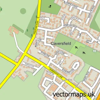
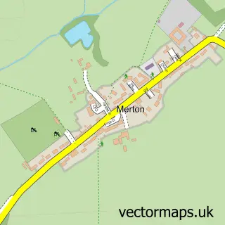
This Bicester street map is a detailed vector street map covering a 750m x 750m area. Select a larger area to create and download your own vector street map of Bicester.
The 750-metre map sample for Bicester covers 424 mapped buildings and approximately 37.3 km of road detail, of which 47 named roads are named. The immediate area includes 1 school, 1 GP surgery, with 3 within 2 miles, 12 pubs and 3 MOT stations, with 11 within 2 miles. The wider area around Bicester features 2 tourism points of interest, 33 food and drink venues and 5 hotels. To create a larger or custom map of Bicester, the map builder lets you define your own coverage area and download editable SVG, PDF and PNG files.
Create a larger editable map of Bicester
Choose any area you need and generate a high-quality vector map instantly. Perfect for print, planning, design, business and personal use.

This Bicester street map in Oxfordshire is available as downloadable SVG, PDF and PNG map files, or as a printed map for planning, business, display, education, local information and design work. You can also create a larger custom map area using the map selector.
What this Bicester map sample shows
Bicester lies within Bicester Cp parish, part of Bicester East ward in the Cherwell District local authority area. The postcode geography for this area includes the OX postcode area, the OX26 postcode district and the OX26 6 postcode sector. Residents fall under the Nhs Buckinghamshire, Oxfordshire And Berkshire West Integrated Care Board for NHS services.
Local features near Bicester
Within 2 milesAmenities and services in and around Bicester.
Administrative and postcode information for Bicester
Bicester lies within Bicester Cp parish, part of Bicester East ward in the Cherwell District local authority area. The postcode geography for this area includes the OX postcode area, the OX26 postcode district and the OX26 6 postcode sector. Residents fall under the Nhs Buckinghamshire, Oxfordshire And Berkshire West Integrated Care Board for NHS services.
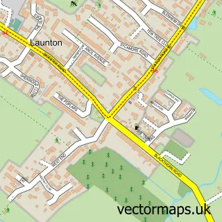
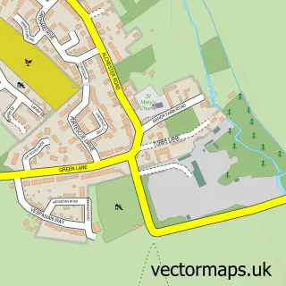
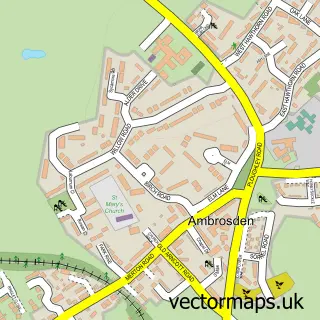
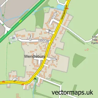
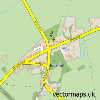
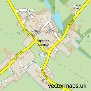
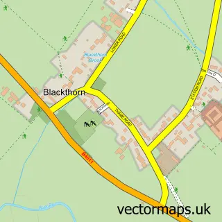
Nearby street map samples around Bicester

More street maps in Oxfordshire
750 metre map area coverage
Boundary, postcode and point of interest information for the 750m x 750m rectangle centred on this sample map.
Boundaries containing map centre
Constituency: Bicester and Woodstock Co Const
County: Oxfordshire County
District: Cherwell District
Icb: NHS Thames Valley ICB
Parish: Bicester CP
Police Force: thames valley
Postcode District: OX26
Postcode Sector: OX26 6
Ward: Bicester East Ward
Nearby boundaries intersecting sample
Postcode Sector: OX26 2
Ward: Bicester South & Ambrosden Ward, Bicester West Ward
Postcode coverage
POI category counts
Hair Salon: 16
Beauty Salon: 12
Dentist: 12
Pub: 12
Tattoo And Piercing: 12
Clothing Store: 11
Barber: 10
Real Estate Agent: 10
Bank Credit Union: 9
Charity Organization: 9
Sample points of interest
- Azets - Accountants & Business Advisors
- BPH Whitley Stimpson
- Clark Howes
- Digital Accounting Enterprises
- Morgan Accountancy Solutions
- Sadler Talbot Ltd.
- Wilkins Accountants
- KidzZoo Board Game Cafe, Bicester
- Shaw Trust - Charity shop - Bicester
- Southwold Vintage and Antique
- Sue Ryder Care
- Alexander
Create a larger editable map of Bicester
This sample shows only a 750 metre area. To create a larger map of Bicester, use our map builder to choose your own coverage area, add titles and download editable SVG, PDF and PNG files.
Create a custom map of Bicester