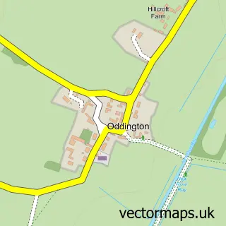
This Merton street map is a detailed vector street map covering a 750m x 750m area. Select a larger area to create and download your own vector street map of Merton.
The 750-metre map sample for Merton covers 109 mapped buildings and approximately 15.0 km of road detail, of which 7 named roads are named. To create a larger or custom map of Merton, the map builder lets you define your own coverage area and download editable SVG, PDF and PNG files.
Create a larger editable map of Merton
Choose any area you need and generate a high-quality vector map instantly. Perfect for print, planning, design, business and personal use.

This Merton street map in Oxfordshire is available as downloadable SVG, PDF and PNG map files, or as a printed map for planning, business, display, education, local information and design work. You can also create a larger custom map area using the map selector.
What this Merton map sample shows
Merton lies within Merton Cp parish, part of Launton And Otmoor ward in the Cherwell District local authority area. The postcode geography for this area includes the OX postcode area, the OX25 postcode district and the OX25 2 postcode sector. Residents fall under the Nhs Buckinghamshire, Oxfordshire And Berkshire West Integrated Care Board for NHS services.
Local features near Merton
Within 2 milesAmenities and services in and around Merton.
Administrative and postcode information for Merton
Merton lies within Merton Cp parish, part of Launton And Otmoor ward in the Cherwell District local authority area. The postcode geography for this area includes the OX postcode area, the OX25 postcode district and the OX25 2 postcode sector. Residents fall under the Nhs Buckinghamshire, Oxfordshire And Berkshire West Integrated Care Board for NHS services.
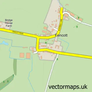
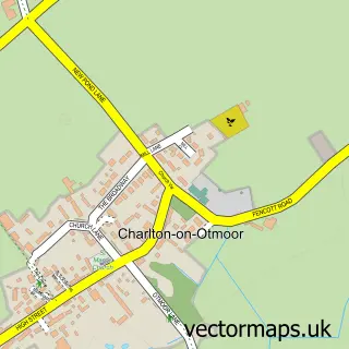
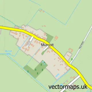
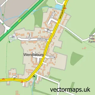
Nearby street map samples around Merton


More street maps in Oxfordshire
750 metre map area coverage
Boundary, postcode and point of interest information for the 750m x 750m rectangle centred on this sample map.
Boundaries containing map centre
Constituency: Bicester and Woodstock Co Const
County: Oxfordshire County
District: Cherwell District
Icb: NHS Thames Valley ICB
Parish: Merton CP
Police Force: thames valley
Postcode District: OX25
Postcode Sector: OX25 2
Ward: Launton & Otmoor Ward
Nearby boundaries intersecting sample
No additional intersecting boundaries found.
Postcode coverage
POI category counts
Advertising Agency: 1
Anglican Church: 1
Arts And Crafts: 1
Doctor: 1
Electrician: 1
Engineering Services: 1
Farm Equipment And Supply: 1
Information Technology Company: 1
Photographer: 1
Sample points of interest
- Verve Creative Solutions Limited
- Merton: St Swithun
- Unique Creations
- Infohealth-Solutions Ltd.
- Justin Bucknell Electrical
- Kerma Technology Ltd.
- Robert Kerr Agriculture Ltd.
- Oxford IT Solutions
- A Smith
Create a larger editable map of Merton
This sample shows only a 750 metre area. To create a larger map of Merton, use our map builder to choose your own coverage area, add titles and download editable SVG, PDF and PNG files.
Create a custom map of Merton