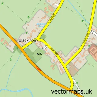
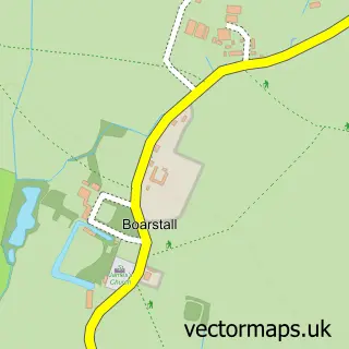
This Arncott street map is a detailed vector street map covering a 750m x 750m area. Select a larger area to create and download your own vector street map of Arncott.
The 750-metre map sample for Arncott covers 230 mapped buildings and approximately 15.3 km of road detail, of which 16 named roads are named. The immediate area includes 2 MOT stations within 2 miles. The wider area around Arncott features 1 tourism point of interest and 1 food and drink venue. To create a larger or custom map of Arncott, the map builder lets you define your own coverage area and download editable SVG, PDF and PNG files.
Create a larger editable map of Arncott
Choose any area you need and generate a high-quality vector map instantly. Perfect for print, planning, design, business and personal use.

This Arncott street map in Oxfordshire is available as downloadable SVG, PDF and PNG map files, or as a printed map for planning, business, display, education, local information and design work. You can also create a larger custom map area using the map selector.
What this Arncott map sample shows
Arncott lies within Arncott Cp parish, part of Launton And Otmoor ward in the Cherwell District local authority area. The postcode geography for this area includes the OX postcode area, the OX25 postcode district and the OX25 1 postcode sector. Residents fall under the Nhs Buckinghamshire, Oxfordshire And Berkshire West Integrated Care Board for NHS services.
Local features near Arncott
Within 2 milesAmenities and services in and around Arncott.
Administrative and postcode information for Arncott
Arncott lies within Arncott Cp parish, part of Launton And Otmoor ward in the Cherwell District local authority area. The postcode geography for this area includes the OX postcode area, the OX25 postcode district and the OX25 1 postcode sector. Residents fall under the Nhs Buckinghamshire, Oxfordshire And Berkshire West Integrated Care Board for NHS services.
Nearby street map samples around Arncott


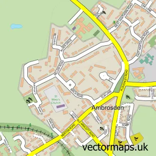
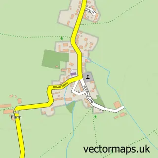
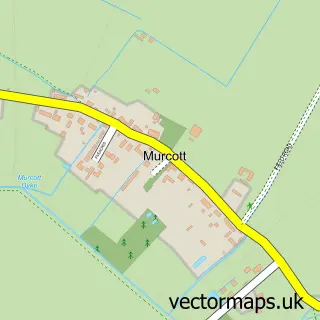
More street maps in Oxfordshire
750 metre map area coverage
Boundary, postcode and point of interest information for the 750m x 750m rectangle centred on this sample map.
Boundaries containing map centre
Constituency: Bicester and Woodstock Co Const
County: Oxfordshire County
District: Cherwell District
Icb: NHS Thames Valley ICB
Parish: Arncott CP
Police Force: thames valley
Postcode District: OX25
Postcode Sector: OX25 1
Ward: Launton & Otmoor Ward
Nearby boundaries intersecting sample
No additional intersecting boundaries found.
Postcode coverage
POI category counts
Dog Walkers: 2
Taxi Service: 2
Truck Dealer For Businesses: 2
Accommodation: 1
Active Life: 1
Auto Electrical Repair: 1
Contractor: 1
Convenience Store: 1
Counseling And Mental Health: 1
Dance School: 1
Sample points of interest
- Upper Arncott
- Arncott Village Hall
- T S Electrical
- M&C Paving
- One Stop
- Bowen in Motion
- Elite Dance & Theatre Tuition
- Fair Weather Dog Training Club
- Bosco and Friends
- Dogs go walkabout
- T S Upholstery
- Arnolds Delivery Services
Create a larger editable map of Arncott
This sample shows only a 750 metre area. To create a larger map of Arncott, use our map builder to choose your own coverage area, add titles and download editable SVG, PDF and PNG files.
Create a custom map of Arncott