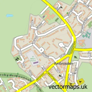
This Blackthorn street map is a detailed vector street map covering a 750m x 750m area. Select a larger area to create and download your own vector street map of Blackthorn.
The 750-metre map sample for Blackthorn covers 120 mapped buildings and approximately 15.0 km of road detail, of which 5 named roads are named. The immediate area includes 2 MOT stations within 2 miles. To create a larger or custom map of Blackthorn, the map builder lets you define your own coverage area and download editable SVG, PDF and PNG files.
Create a larger editable map of Blackthorn
Choose any area you need and generate a high-quality vector map instantly. Perfect for print, planning, design, business and personal use.

This Blackthorn street map in Oxfordshire is available as downloadable SVG, PDF and PNG map files, or as a printed map for planning, business, display, education, local information and design work. You can also create a larger custom map area using the map selector.
What this Blackthorn map sample shows
Blackthorn lies within Blackthorn Cp parish, part of Launton And Otmoor ward in the Cherwell District local authority area. The postcode geography for this area includes the OX postcode area, the OX25 postcode district and the OX25 1 postcode sector. Residents fall under the Nhs Buckinghamshire, Oxfordshire And Berkshire West Integrated Care Board for NHS services.
Local features near Blackthorn
Within 2 milesAmenities and services in and around Blackthorn.
Administrative and postcode information for Blackthorn
Blackthorn lies within Blackthorn Cp parish, part of Launton And Otmoor ward in the Cherwell District local authority area. The postcode geography for this area includes the OX postcode area, the OX25 postcode district and the OX25 1 postcode sector. Residents fall under the Nhs Buckinghamshire, Oxfordshire And Berkshire West Integrated Care Board for NHS services.
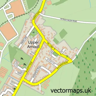
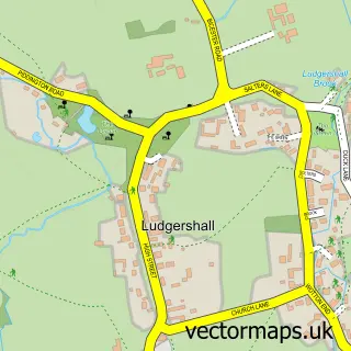
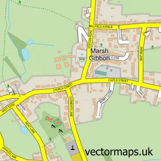
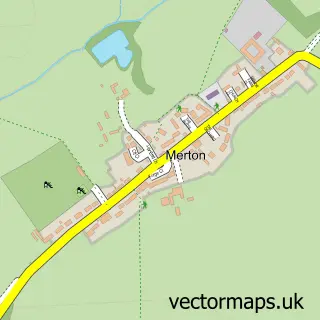
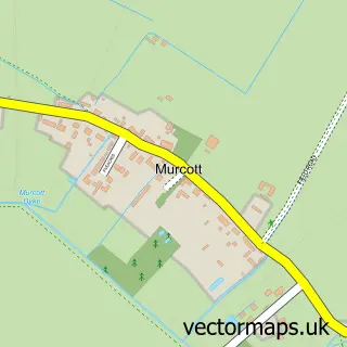
Nearby street map samples around Blackthorn


More street maps in Oxfordshire
750 metre map area coverage
Boundary, postcode and point of interest information for the 750m x 750m rectangle centred on this sample map.
Boundaries containing map centre
Constituency: Bicester and Woodstock Co Const
County: Oxfordshire County
District: Cherwell District
Icb: NHS Thames Valley ICB
Parish: Blackthorn CP
Police Force: thames valley
Postcode District: OX25
Postcode Sector: OX25 1
Ward: Launton & Otmoor Ward
Nearby boundaries intersecting sample
Parish: Arncott CP
Postcode coverage
POI category counts
Acupuncture: 2
Advertising Agency: 1
Bed And Breakfast: 1
Building Supply Store: 1
Business: 1
Business Management Services: 1
Employment Agencies: 1
Gardener: 1
Pet Services: 1
Playground: 1
Sample points of interest
- Lee Butler MBAcC
- The Village Clinic
- Real Life Adventures
- Lime Trees Farm
- Oxfordshire Tree Services
- Twenty One Twelve Marketing
- Innovation for Growth
- Intermezzo H R
- The Design Gardens
- Pound Farm Equestrian
- Blackthorn Playground
- Five Acres Nursery School
Create a larger editable map of Blackthorn
This sample shows only a 750 metre area. To create a larger map of Blackthorn, use our map builder to choose your own coverage area, add titles and download editable SVG, PDF and PNG files.
Create a custom map of Blackthorn